MyTopo
Owenton Kentucky US Topo Map
Couldn't load pickup availability
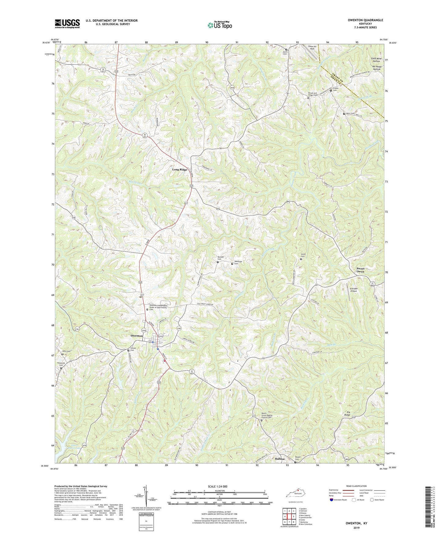
2022 topographic map quadrangle Owenton in the state of Kentucky. Scale: 1:24000. Based on the newly updated USGS 7.5' US Topo map series, this map is in the following counties: Owen, Grant. The map contains contour data, water features, and other items you are used to seeing on USGS maps, but also has updated roads and other features. This is the next generation of topographic maps. Printed on high-quality waterproof paper with UV fade-resistant inks.
Quads adjacent to this one:
West: New Liberty
Northwest: Sanders
North: Glencoe
Northeast: Elliston
East: Lawrenceville
Southeast: New Columbus
South: Monterey
Southwest: Gratz
This map covers the same area as the classic USGS quad with code o38084e7.
Contains the following named places: Beech Grove Baptist Church, Beech Grove Baptist Church Cemetery, City of Owenton, Concord Church, Doty Cemetery, Duvall and Steger Cemetery, Elk Ridge, Elk Ridge Post Office, Forsee Cemetery, Franks Cemetery, Gold Valley, Hallam, Hallam Post Office, Handcock Cemetery, Harrisburg College, Hern Cemetery, Jones Cemetery, Lone Oak Post Office, Long Ridge, Long Ridge Post Office, Lower Sweet Owen, Mount Carmel Church, Mud Lick Branch, Owen County, Owen County Life Squad, Owen County Memorial Hospital Heliport, Owen County Sheriff's Office, Owenton, Owenton Division, Owenton Independent Order of Odd Fellows Cemetery, Owenton Police Department, Owenton Post Office, Owenton Volunteer Fire Department, Pauper Cemetery, Pleasant Ridge Church, Ransdel Cemetery, Saint Edward Church, School Number Eighty-Nine, School Number Sixty-Four, School Number Twenty-Five, Schroder Airport, Smith Cemetery, Sweet Owen, Sweet Owen Post Office, Vallandinghams Mill, Waldrope Cemetery, West Union Post Office, WKON-TV (Owenton)


