MyTopo
Johnson Hollow Kentucky US Topo Map
Couldn't load pickup availability
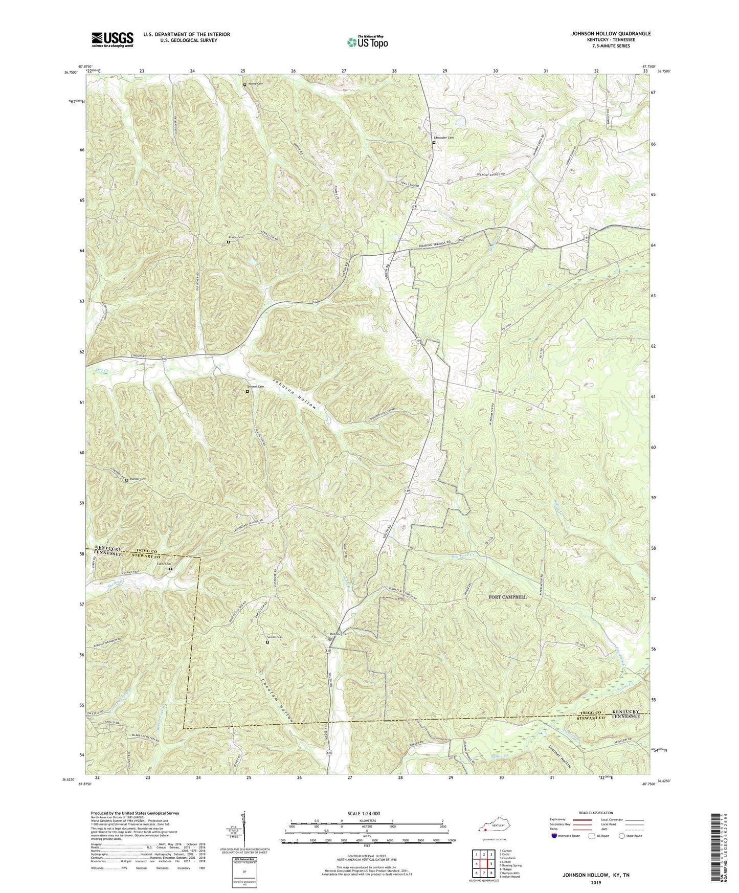
2022 topographic map quadrangle Johnson Hollow in the states of Kentucky, Tennessee. Scale: 1:24000. Based on the newly updated USGS 7.5' US Topo map series, this map is in the following counties: Trigg, Stewart. The map contains contour data, water features, and other items you are used to seeing on USGS maps, but also has updated roads and other features. This is the next generation of topographic maps. Printed on high-quality waterproof paper with UV fade-resistant inks.
Quads adjacent to this one:
West: Linton
Northwest: Canton
North: Cadiz
Northeast: Caledonia
East: Roaring Spring
Southeast: Indian Mound
South: Bumpus Mills
Southwest: Tharpe
Contains the following named places: Atkins Cemetery, Bristoe Lancaster Cemetery, Cheatam Hollow, Clark Cemetery, Delmont Baptist Church, Delmont School, Dry Fork Creek, Duck Springs Church, Duncan Branch, Ed Moore Cemetery, Hunter Cemetery, Johnson Hollow, Joiners Chapel Church of Christ, McKinney Cemetery, Old Dry Creek Primitive Baptist Church, Pugh Flat Baptist Church, Rock Front Baptist Church, Ross Branch, Samsil Cemetery, Skinner Cemetery, Summer Hollow, Union Hill Church, ZIP Code: 37028