MyTopo
Leitchfield Kentucky US Topo Map
Couldn't load pickup availability
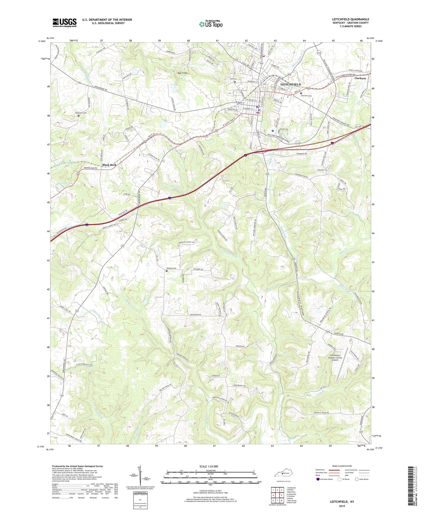
2022 topographic map quadrangle Leitchfield in the state of Kentucky. Scale: 1:24000. Based on the newly updated USGS 7.5' US Topo map series, this map is in the following counties: Grayson. The map contains contour data, water features, and other items you are used to seeing on USGS maps, but also has updated roads and other features. This is the next generation of topographic maps. Printed on high-quality waterproof paper with UV fade-resistant inks.
Quads adjacent to this one:
West: Caneyville
Northwest: McDaniels
North: Madrid
Northeast: Big Clifty
East: Clarkson
Southeast: Nolin Lake
South: Bee Spring
Southwest: Ready
This map covers the same area as the classic USGS quad with code o37086d3.
Contains the following named places: Allens Lake, Black Rock, Bloomington Church, Blowtown Church, Church, City of Leitchfield, Clagett Church, Criswell Hollow, Day Cliffs, Fair View Cemetery, General Church, Grayson County, Grayson County Emergency Medical Services, Grayson County Sheriff's Office, Hargus Creek, Hat Branch, Helm Fork, Kefauver Cemetery, Leitchfield, Leitchfield Division, Leitchfield Fire Department, Leitchfield Fire Department Station 1, Leitchfield Police Department, Leitchfield Post Office, Leitchfield-Grayson County Airport, Liberty Church, Long Branch, McClure Fork, Miller Fork, New Freedom Church, Providence Church, Sadler Church, Taylor Fork, Twin Lakes Regional Medical Center, Victory Heights Fellowship, Walnut Hill Cemetery, Williams Cemetery, ZIP Code: 42754


