MyTopo
Mackville Kentucky US Topo Map
Couldn't load pickup availability
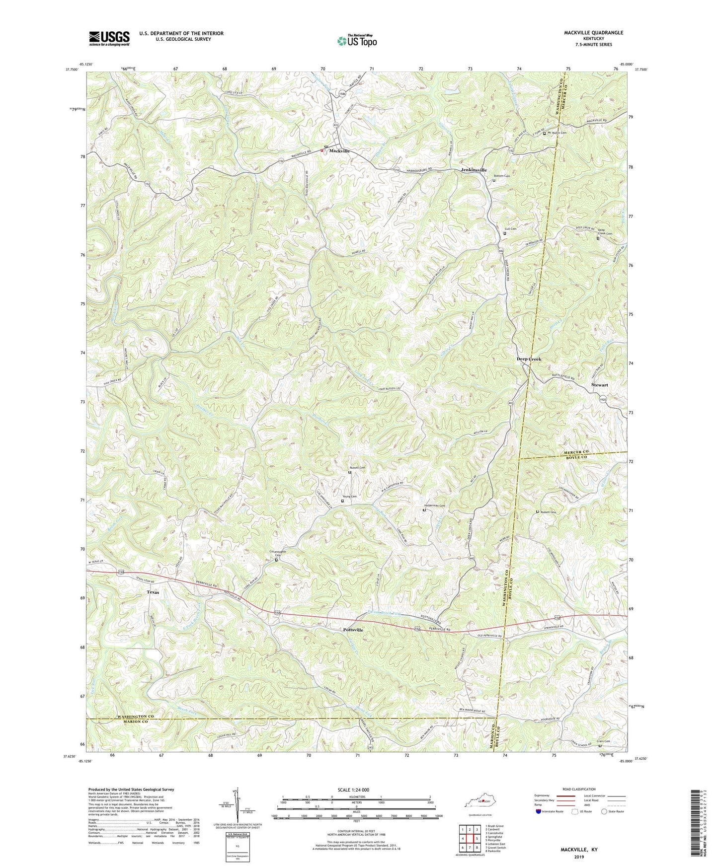
2022 topographic map quadrangle Mackville in the state of Kentucky. Scale: 1:24000. Based on the newly updated USGS 7.5' US Topo map series, this map is in the following counties: Washington, Boyle, Mercer, Marion. The map contains contour data, water features, and other items you are used to seeing on USGS maps, but also has updated roads and other features. This is the next generation of topographic maps. Printed on high-quality waterproof paper with UV fade-resistant inks.
Quads adjacent to this one:
West: Springfield
Northwest: Brush Grove
North: Cardwell
Northeast: Cornishville
East: Perryville
Southeast: Parksville
South: Gravel Switch
Southwest: Lebanon East
This map covers the same area as the classic USGS quad with code o37085f1.
Contains the following named places: Antioch United Methodist Church, Beech Grove Church, Bottom Cemetery, City of Mackville, Cocanougher Cemetery, Crain Cemetery, Crane School, Cull Cemetery, Deep Creek, Deep Creek Baptist Church, Deep Creek Cemetery, East Fork Beech Fork, Enido Post Office, Hilltop, Holderman Cemetery, Isham Branch, Jenkinsville, Jenkinsville Post Office, Jensonton Post Office, Lick Run, Logan, Long Run, Lower Logan, Mackville, Mackville Fire Department, Mackville High School, Mackville Post Office, Mc Mullin Cemetery, Popes Chapel, Pottsville, Prather Creek, Russell Cemetery, Stewart, Stewart Post Office, Stone Lick, Texas, Texas Post Office, Texas School, Tick Creek, Turkey Creek, Wesley Chapel, Young Cemetery


