MyTopo
Oneida Kentucky US Topo Map
Couldn't load pickup availability
Also explore the Oneida Forest Service Topo of this same quad for updated USFS data
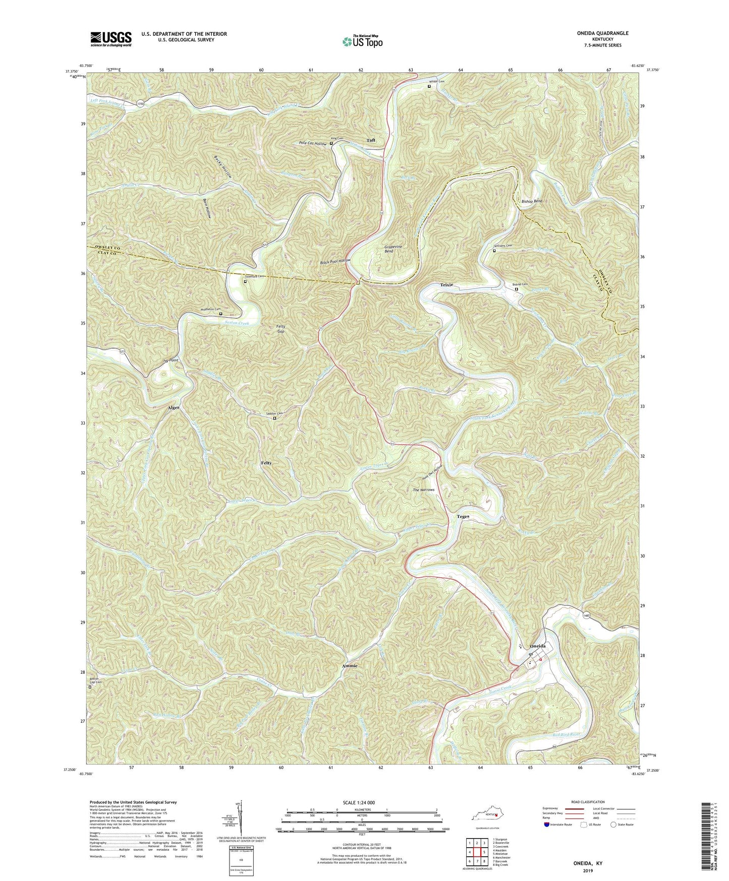
2022 topographic map quadrangle Oneida in the state of Kentucky. Scale: 1:24000. Based on the newly updated USGS 7.5' US Topo map series, this map is in the following counties: Clay, Owsley. The map contains contour data, water features, and other items you are used to seeing on USGS maps, but also has updated roads and other features. This is the next generation of topographic maps. Printed on high-quality waterproof paper with UV fade-resistant inks.
Quads adjacent to this one:
West: Maulden
Northwest: Sturgeon
North: Booneville
Northeast: Cowcreek
East: Mistletoe
Southeast: Big Creek
South: Barcreek
Southwest: Manchester
This map covers the same area as the classic USGS quad with code o37083c6.
Contains the following named places: Aldridge Rock School, Alger, Alger Post Office, Ammie, Ammy Post Office, Anglin Church, Anglin Creek, Anglin School, Barger Post Office, Barn Hollow, Bear Gap Branch, Becky Hollow, Bee Branch, Bee Branch Church, Bee Branch School, Big Branch, Big Paul Bailey Branch, Big Rooster Branch, Big Twin Creek, Bishop Bend, Bishop Cemetery, Bishop Road School, Black Pool Hollow, Boston Gap Cemetery, Buck Branch, Buffalo Creek, Bull Hollow Branch, Bullskin Creek, Bungeon Branch, Burger Branch, Chestnut Gap Branch, Chicken Branch, Cool Branch, Cool Spring School, Corinth Church, Court House Branch, Crane Creek, Crane Creek Church, Doar Branch, Elder Lick Branch, Felty, Felty Gap, Felty Post Office, Gar Hole Branch, Goose Creek, Grapevine Bend, Grayham Branch, Hacker Branch, Halfway Branch, Harlan Branch, Hoot Owl Hollow, Irvin Hill School, Ivy Point, Joshua Post Office, King Cemetery, Left Fork Buffalo Creek, Lick Branch, Little Bullskin Creek, Little Paul Bailey Branch, Little Rooster Branch, Little Twin Branch, Lodge Hall School, Lou Branch, Lower Crane School, Lower Fork Cool Spring Branch, Lower Gap Branch, Lower Teges Creek, Middleton Cemetery, Narrows Post Office, Narrows School, Newfound Church, Newfound Creek, Newfound Post Office, Newfound School, Niers Branch, Oneida, Oneida Baptist Institute, Oneida Census Designated Place, Oneida Division, Oneida Fire Department, Oneida Grade School, Oneida Lookout Tower, Oneida Post Office, Oneida Seventh Day Adventist Church, Pancone Post Office, Pole Cat Hollow, Pooter Branch, Potter Branch, Prop Cave Branch, Pruitt Branch, Pruitt Branch School, Red Bird River, Right Fork Buffalo Creek, Riverside Church, Riverside School, Road Run, Road Run Church, Road Run Post Office, Road Run School, Rocky Branch, Rone Fork Branch, Saddler Branch, Saddler Cemetery, Sester Branch, Sexton Creek, Sharp Branch, Shephard Neighborhood, Shephard School, Sizemore Cemetery, Spivey Branch, Spring Branch, Taft, Taft Post Office, Teges, Teges Post Office, The Narrows, Trace Branch, Trixie, Trixie Post Office, Turkey Gap Branch, Upper Crane School, Upper Fork Cool Spring Branch, Upper Teges Creek, Wagon Road Branch, Walnut Branch, Williams Cemetery, Wilson Cemetery, Wolf Branch, Zion Church