MyTopo
Salyersville South Kentucky US Topo Map
Couldn't load pickup availability
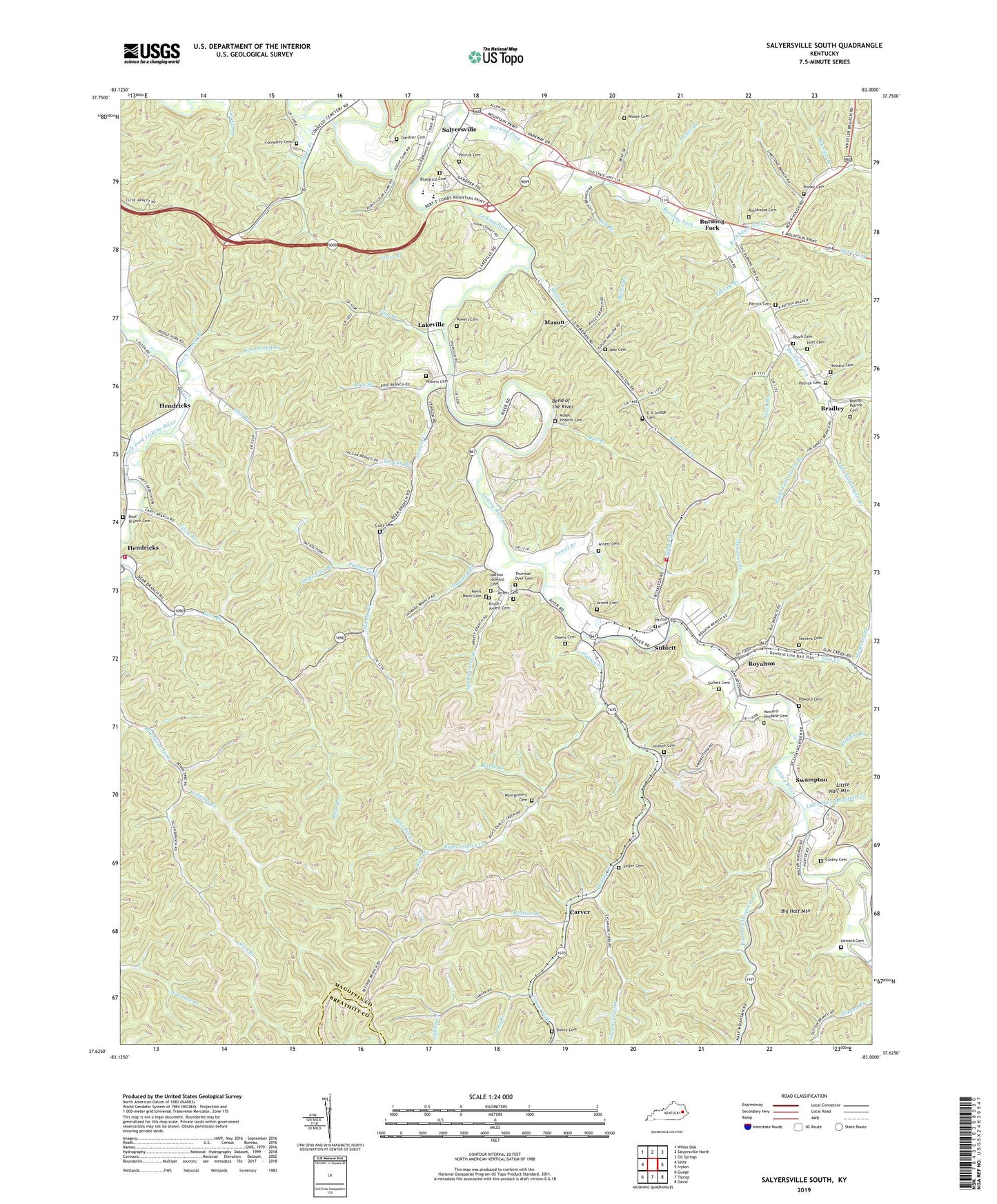
2022 topographic map quadrangle Salyersville South in the state of Kentucky. Scale: 1:24000. Based on the newly updated USGS 7.5' US Topo map series, this map is in the following counties: Magoffin, Breathitt. The map contains contour data, water features, and other items you are used to seeing on USGS maps, but also has updated roads and other features. This is the next generation of topographic maps. Printed on high-quality waterproof paper with UV fade-resistant inks.
Quads adjacent to this one:
West: Seitz
Northwest: White Oak
North: Salyersville North
Northeast: Oil Springs
East: Ivyton
Southeast: David
South: Tiptop
Southwest: Guage
This map covers the same area as the classic USGS quad with code o37083f1.
Contains the following named places: Allen Branch, Arnett Branch, Arnett Cemetery, Arnett School, Bailey Branch, Bailey Cemetery, Bear Branch, Bear Branch Cemetery, Beetree Branch, Bend of the River, Big Half Mountain, Big Half Mountain Creek, Birch Branch, Bishop Patrick Cemetery, Bluegrass Cemetery, Bradley, Bradley Freewill Baptist Church, Bradley Post Office, Bruce Arnett Cemetery, Bull Branch, Bull Branch School, Burning Fork, Carty Branch, Carver, Carver Station, Caudill Branch, City of Salyersville, College Heights, Conley Cemetery, Conley Memorial Park, Connelley Cemetery, Craft Cemetery, District 3 Volunteer Fire Department, Dixie, Flint Branch, G V Joseph Cemetery, Gardner Branch, Gardner Cemetery, Gardners Farm, Gullett Cemetery, Gun Creek, Gun Creek Church, Harris Arnett Branch, Head of Right Oakley School, Hendricks, Hendricks Post Office, Hendricks School, Herald Whitaker Middle School, Higgins Branch, Howard - Shepard Cemetery, Howard Branch, Howard Cemetery, Hurt Cemetery, Ivy Point, Ivy Point Skirmishes Historical Marker, Jackson Cemetery, Jane Arnett Branch, Kenis Mann Cemetery, Lakeville, Lakeville Freewill Baptist Church, Laurel Fork, Left Fork Arnett Branch, Lems Branch, Lick Branch, Licking River Missionary Baptist Church, Licking Station Historical Marker, Little Half Mountain, Little Half Mountain Creek, Long Branch, Lower Burning Fork, Magoffin County, Mason, Mason Fork, May Cemetery, Meadows Branch, Meatskin Branch, Middle Fork Volunteer Fire Department, Mill Branch, Montgomery Branch, Montgomery Cemetery, Montgomery Memorial Church, Moore Cemetery, Moses Hoskins Cemetery, Mount of Rockhouse Church, Nathan Howard Cemetery, Oakley Creek, Open Fork, Owens Cemetery, Oxier Branch, Patrick Branch, Patrick Cemetery, Patton Cemetery, Patton Fork, Peter Cave Branch, Power Post Office, Powers Cemetery, Prater Branch, Puncheon Camp Creek, Ramp Branch, Reuben Patrick Grave Historical Marker, Right Fork Arnett Branch, Right Oakley Creek, Risner Cemetery, Roark Cemetery, Rockhouse Cemetery, Rockhouse Fork, Rose Branch, Royalton, Royalton Census Designated Place, Saint Lukes Roman Catholic Church, Salyer Branch, Salyer Cemetery, Sayler School, Short Fork, Skaggs, Stevens Cemetery, Stinson Creek, Stinson Creek School, Stinson Freewill Baptist Church, Stinson United Baptist Church, Stone Coal Branch, Sublett, Sublette Post Office, Swampton, Sycamore Fork, Thurman Dyer Cemetery, Tin Can Branch, West Royalton Railroad Station, Wheeler Branch, Williams Branch, WRLV-AM (Salyersville), ZIP Code: 41465