MyTopo
David Kentucky US Topo Map
Couldn't load pickup availability
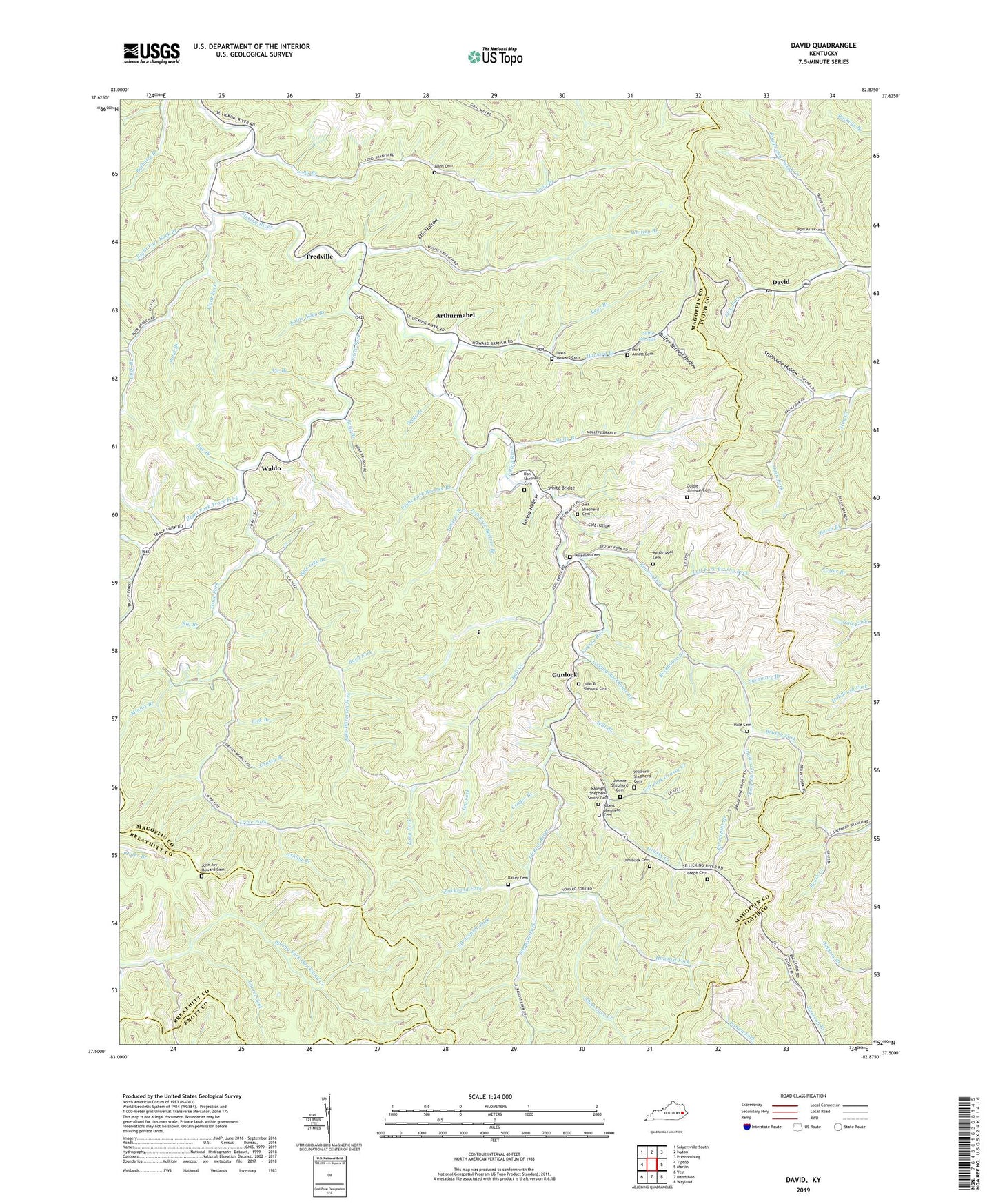
2022 topographic map quadrangle David in the state of Kentucky. Scale: 1:24000. Based on the newly updated USGS 7.5' US Topo map series, this map is in the following counties: Magoffin, Floyd, Breathitt, Knott. The map contains contour data, water features, and other items you are used to seeing on USGS maps, but also has updated roads and other features. This is the next generation of topographic maps. Printed on high-quality waterproof paper with UV fade-resistant inks.
Quads adjacent to this one:
West: Tiptop
Northwest: Salyersville South
North: Ivyton
Northeast: Prestonsburg
East: Martin
Southeast: Wayland
South: Handshoe
Southwest: Vest
This map covers the same area as the classic USGS quad with code o37082e8.
Contains the following named places: Albert Shepherd Cemetery, Allen Cemetery, Allen School, Allen Wireman Branch, Alum Cave Creek, Arthurmabel, Ashlog Branch, Bailey Cemetery, Barb Fork, Bate Lick Branch, Bear Branch, Becky Branch, Beetree Branch, Big Branch, Bone Branch, Brushy Fork, Brushy Fork Church, Brushy Fork School, Buck Branch, Buck School, Bull Creek, Colt Hollow, Crager Branch, Dan Shepherd Cemetery, David, David Post Office, Dona Howard Cemetery, Ella Hollow, Forks of Trace School, Fredville, Gard Fork, Goldie Johnson Cemetery, Grassy Branch, Grassy Creek, Grassy Creek School, Gunlock, Gypsy Post Office, Hale Cemetery, Happy Hollow, Head of Licking School, Head of Trace School, Howard Branch, Howard Branch School, Howard Fork, Indian Grave Fork, Ivy Fork, Jake Wiremen Fork, Jeff Shepherd Cemetery, Jim Buck Cemetery, Jimmie Shepherd Cemetery, John Arnett School, John B Shepard Cemetery, John Joy Howard Cemetery, Joseph Cemetery, Laurel Fork, Left Fork Beetree Branch, Left Fork Brushy Fork, Left Fork Grassy Creek, Lick Branch, Lick Fork School, Licking Branch, Licking Rockhouse Branch, Little Rachael United Baptist Church, Little Rachel Church, Long Branch, Long Fork, Lovely Hollow, Low Gap Fork, Mid Post Office, Mile Branch, Minnix Branch, Molly Branch, Molly Branch School, Mort Arnett Cemetery, Mouth Of Salt Lick School, Mouth of Trace School, Nelvin Wireman Branch, Open Fork, Orchard Post Office, Ordway Post Office, Pond Branch, Quicksand Fork, Raleigh Shepherd Senior Cemetery, Right Fork Beetree Branch, Right Fork Buck Branch, Right Fork Trace Fork, Rockhouse Branch, Rough and Tough Creek, Royalton Division, Rye Branch, Sallie Allen Branch, Seals Branch, Shepherd Branch, Shepherd School, Sprucepine Branch, Sprucepine Fork, Stay Creek, Stillhouse Hollow, Straight Fork, Straight Fork School, Sulfer Springs Hollow, Sulfur Springs, Sulphur Spring Branch, Sycamore Branch, Trace Fork, Vanderpool Cemetery, Vic Branch, Waldo, Waldo Post Office, Waldo Wayside Church, White Bridge, Whitley Branch, Wild Cat Branch, Will Branch, Willburn Shepherd Cemetery, Wireman Cemetery, Wolfpen Branch, ZIP Codes: 41616, 41632


