MyTopo
Thomas Kentucky US Topo Map
Couldn't load pickup availability
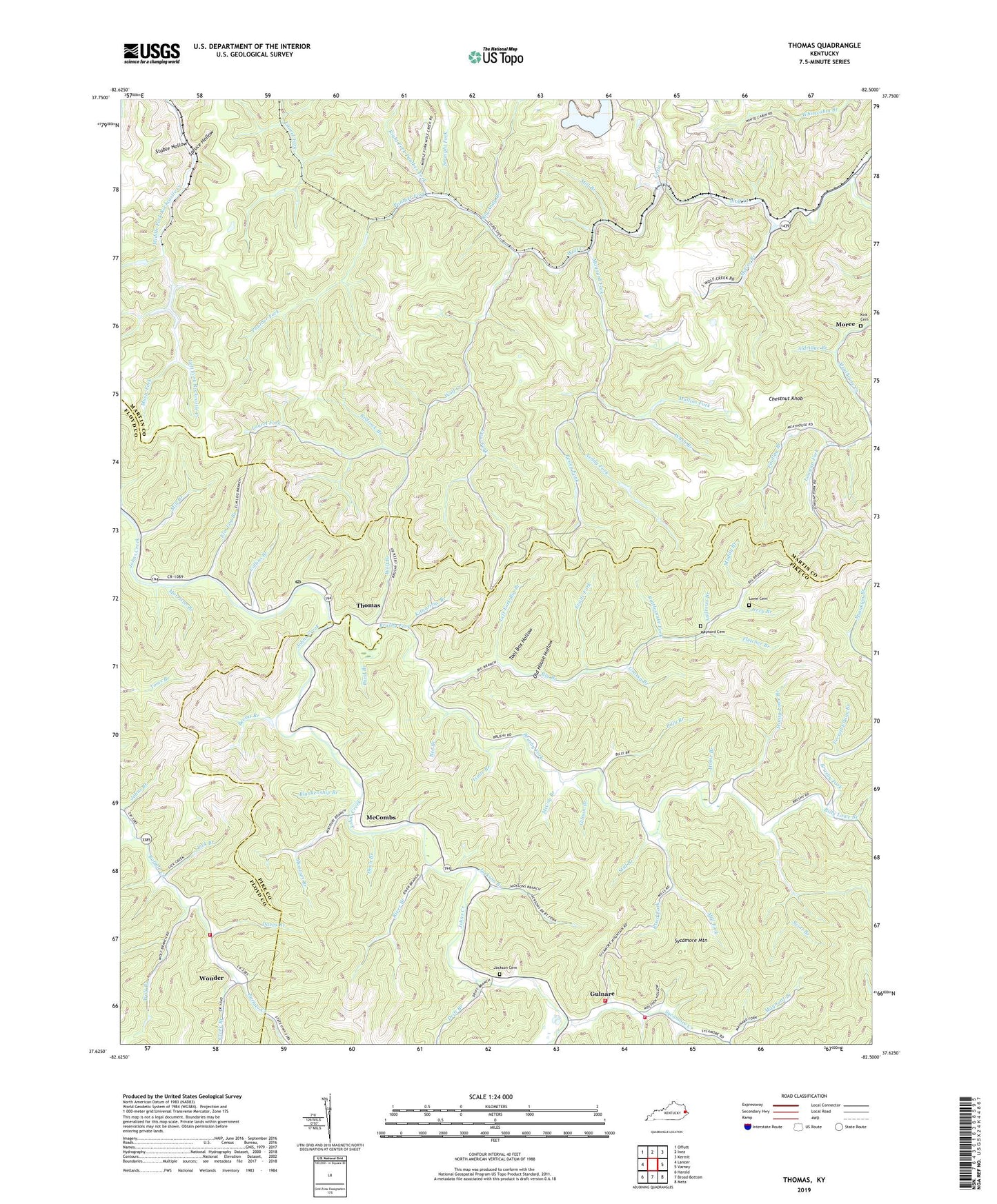
2022 topographic map quadrangle Thomas in the state of Kentucky. Scale: 1:24000. Based on the newly updated USGS 7.5' US Topo map series, this map is in the following counties: Martin, Pike, Floyd. The map contains contour data, water features, and other items you are used to seeing on USGS maps, but also has updated roads and other features. This is the next generation of topographic maps. Printed on high-quality waterproof paper with UV fade-resistant inks.
Quads adjacent to this one:
West: Lancer
Northwest: Offutt
North: Inez
Northeast: Kermit
East: Varney
Southeast: Meta
South: Broad Bottom
Southwest: Harold
This map covers the same area as the classic USGS quad with code o37082f5.
Contains the following named places: Aldridge Branch, Andrews Branch, Banyan, Banyan School, Bear Branch, Bee Branch, Bevins Branch, Big Andy Branch, Big Branch, Big Branch School, Big Hollow, Billy Branch, Billy Lowe Branch, Blankenship Branch, Brushy Fork, Buck Horn Branch, CC Maynards Settlement, Chestnut Cove Branch, Chestnut Knob, Clark Branch, Clark Branch School, Collins Branch, Cow Creek Volunteer Fire Department Station 2, Cow Fork, Daves Branch, Dean Branch, Drift Branch, Elm Log Branch, Evans Fork, Ferrell Elkins Branch, Findlay Branch, Fletcher Branch, Forks of Brushy School, Freewill Church, Gibson Branch, Grassy Branch, Grassy Gap Branch, Gulnare, Gulnare Post Office, Gulnare School, Gulnare Volunteer Fire Department, Gulnare Volunteer Fire Department Station 2, Head of Wolf Creek School, Home Branch, Isaac Branch, Jackson Branch, Jackson Cemetery, Jerry Branch, Kirk Cemetery, Kitnarrow Branch, Laurel Fork, Left Fork Big Branch, Left Fork Rockcastle Creek, Letter Gap Branch, Lick Branch, Little Branch, Little Grassy Fork, Lowe, Lowe Cemetery, Lower Hogpen Branch, Maynard Branch, Maynard Cemetery, Maynard Fork, McCombs, McCombs Post Office, McCoy Branch, McGee Branch, McKinney Branch, Meathouse Creek, Miles Hunt Branch, Mill Branch, Mill Fork, Missouri Branch, Monty Lowe Branch, Moree, Morrison Branch, Mouth of Meathouse Creek School, Movell Post Office, Muddy Branch, Mullins Fork, Music Fork, Neddy Fork, Old House Hollow, Panther Fork, Pesley Fork, Pond Branch, Rattlesnake Fork, Redrock Branch, Right Fork Panther Fork, River Branch, Road Fork, Roop Post Office, Sand Gap Branch, Schoolhouse Branch, Scott Branch, Spears Branch, Spears School, Spring Knob, Spruce Hollow, Stable Hollow, Still Branch, Straight Fork, Sycamore, Sycamore Creek, Sycamore Mountain, The Devils Bow, Thomas, Thomas Post Office, Tool Box Hollow, Wash Branch, Wolf Branch, Wonder


