MyTopo
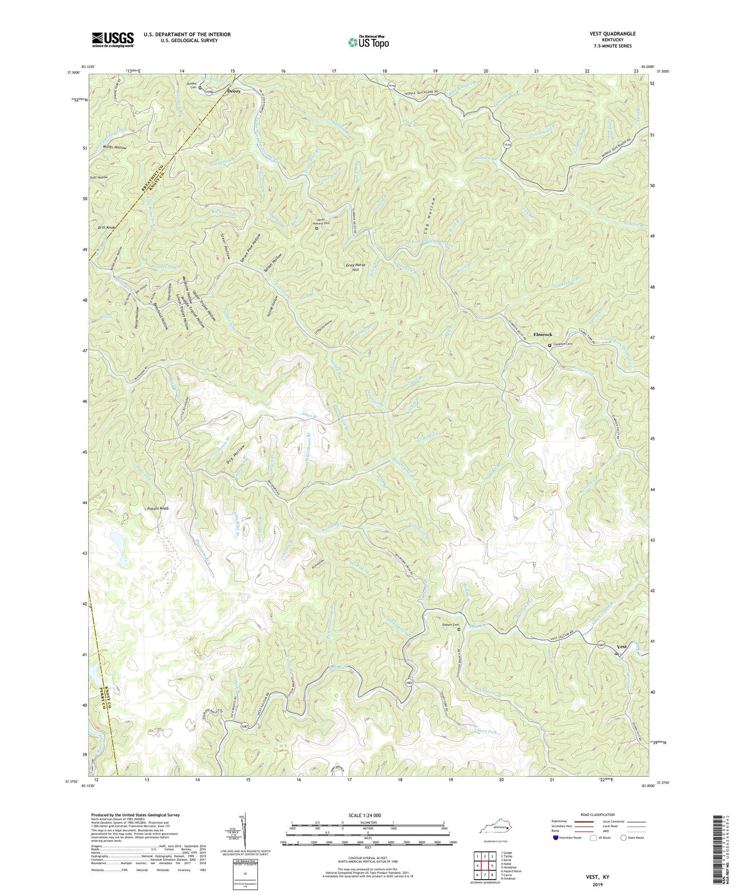
Vest Kentucky US Topo Map
Couldn't load pickup availability
2022 topographic map quadrangle Vest in the state of Kentucky. Scale: 1:24000. Based on the newly updated USGS 7.5' US Topo map series, this map is in the following counties: Knott, Breathitt, Perry. The map contains contour data, water features, and other items you are used to seeing on USGS maps, but also has updated roads and other features. This is the next generation of topographic maps. Printed on high-quality waterproof paper with UV fade-resistant inks.
Quads adjacent to this one:
West: Noble
Northwest: Guage
North: Tiptop
Northeast: David
East: Handshoe
Southeast: Hindman
South: Carrie
Southwest: Hazard North
This map covers the same area as the classic USGS quad with code o37083d1.
Contains the following named places: America Branch, Baker Branch, Baker Camp, Baker Post Office, Baker School, Ball Hollow, Beckham Combs School, Bee Branch, Beech Branch, Beechnut Hollow, Big Cutoff Branch, Big Laurel Branch, Birch Branch, Boughcamp Branch, Boughcamp School, Bracken Fork, Bradey Cemetery, Bradley Branch, Buckhorn, Buckhorn Branch, Bucklick Branch, Buffalo Branch, Cane Branch, Cob Hollow, Compton Cemetery, Cool Hollow, Crabapple Branch, Cucumber Hollow, Cut Hollow, Cutoff Branch, Dans Fork, Deadland Branch, Decoy, Decoy School, Deephole Branch, Deer Fork, Devilhouse Branch, Dobson Cemetery, Dobson School, Dog Hollow, Dot Hollow, Drill Knob, Duck Branch, Eli Fork, Elisha Fork, Elmrock, Elmrock Post Office, Emmalena Division, Emory Branch, Fallenrock Branch, Garden Branch, Grey Horse Hill, Grigsby, Grithy Branch, Hard Branch, Hollylick Branch, Horse Hollow, Hurricane Branch, Jack Branch, Jakes Branch, John Riley Branch, John S Combs Branch, Johnson Lick Branch, Kitchen Branch, Laurel Branch, Laurel Fork, Laurel Fork Quicksand Creek, Laurel Fork United Baptist Church, Lick Branch, Lick Branch School, Lombardy Hollow, Long Branch, Long Point Branch, Loomhouse Branch, Lost Hollow, Lower Bearpen Branch, Lower Field Branch, Lower Triplet Hollow, Lower Whit Branch, Lynn Log Branch, Mart Branch, Medicine Hollow, Messer Fork, Middle Fork Quicksand Creek, Middle Triplet Hollow, Mill Branch, Miller Branch, Miller Hollow, Mud Lick Branch, Oil Well Branch, Orchard Branch, Panther Fork, Patten Fork, Peg Brown Branch, Pencil Fork, Pep Hollow, Peter Branch, Poplar Fork, Potato Knob, Prince Fork, Puncheon School, Puncheoncamp Branch, Rich Hollow, Road Branch, Rockhouse Hollow, Saddle Branch, Sand Lick, Schoolhouse Branch, Shephard Branch, Short Fork, Snag Ridge Fork, Splash Dam Hollow, Splash Hollow, Split Log Branch, Spring Fork, Spruce Pine Hollow, Squire Branch, Steer Hollow, Stonecoal Branch, Suicide Hollow, Talcum Post Office, Tester Post Office, Trace Branch, Twin Branch, Upper Bearpen Branch, Upper Garden Branch, Upper Triplet Hollow, Upper Whit Branch, Vest, Vest Post Office, Vest School, Vest United Baptist Church, Walnut Branch, White Oak Branch, Whitt Howard Cemetery, Zach Branch, ZIP Codes: 41640, 41772


