MyTopo
Williamstown Kentucky US Topo Map
Couldn't load pickup availability
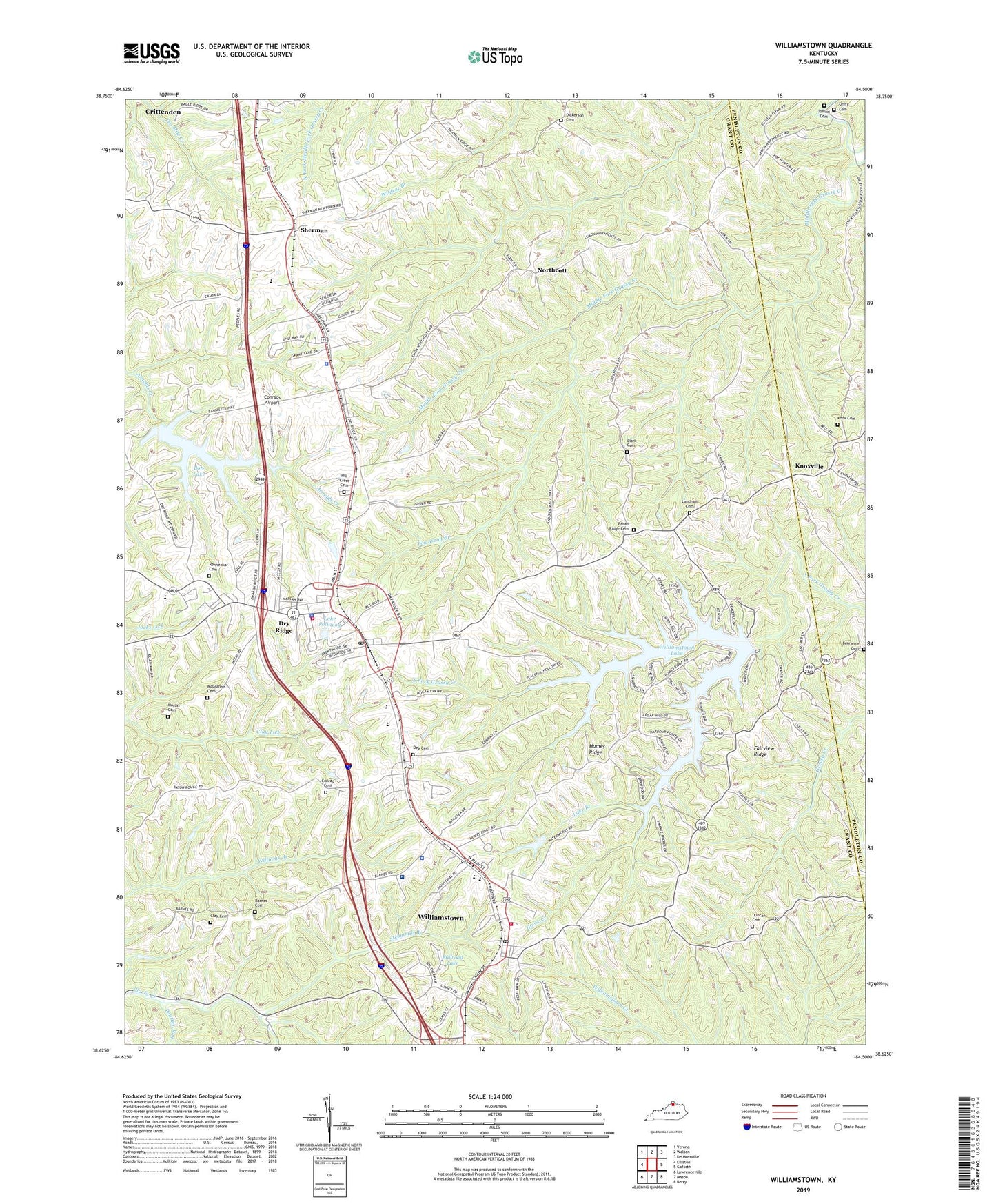
2022 topographic map quadrangle Williamstown in the state of Kentucky. Scale: 1:24000. Based on the newly updated USGS 7.5' US Topo map series, this map is in the following counties: Grant, Pendleton. The map contains contour data, water features, and other items you are used to seeing on USGS maps, but also has updated roads and other features. This is the next generation of topographic maps. Printed on high-quality waterproof paper with UV fade-resistant inks.
Quads adjacent to this one:
West: Elliston
Northwest: Verona
North: Walton
Northeast: De Mossville
East: Goforth
Southeast: Berry
South: Mason
Southwest: Lawrenceville
This map covers the same area as the classic USGS quad with code o38084f5.
Contains the following named places: Barnes Cemetery, Bennette Cemetery, Boltz Lake, Broad Ridge Cemetery, Campbells Block House, City of Dry Ridge, City of Williamstown, Clark Cemetery, Clay Cemetery, Conrad Cemetery, Conrads Airport, Dey Cemetery, Dickerson Cemetery, Dry Ridge, Dry Ridge Fire Department, Dry Ridge Police Department, Dry Ridge Post Office, Duncan Cemetery, Fairview Church, Fairview Ridge, Goose Creek, Grant County, Grant County Hospital Heliport, Grant County Sheriff's Office, Hill Crest Cemetery, Humes Ridge, Kentucky State Police Post 6, Knox Cemetery, Knoxville, Knoxville Post Office, Lake Branch, Lake Polliwog, Landrum Cemetery, Martin Cemetery, McGuinnis Cemetery, Northcutt, Panther Run, Poison Spring, Railroad Lake, Reid, Renneckar Cemetery, Saint Elizabeth Grant Hospital, Saint Williams Church, Sherman, Sherman Church, Steammill Branch, Tomlin Cemetery, Townsend Branch, Unity Cemetery, Williamstown, Williamstown Fire Department, Williamstown Lake, Williamstown Post Office