MyTopo
Wilson Kentucky US Topo Map
Couldn't load pickup availability
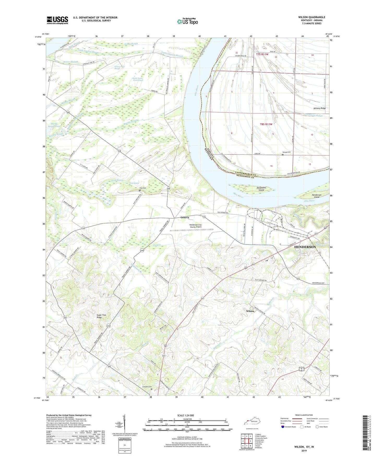
2022 topographic map quadrangle Wilson in the states of Kentucky, Indiana. Scale: 1:24000. Based on the newly updated USGS 7.5' US Topo map series, this map is in the following counties: Henderson, Vanderburgh. The map contains contour data, water features, and other items you are used to seeing on USGS maps, but also has updated roads and other features. This is the next generation of topographic maps. Printed on high-quality waterproof paper with UV fade-resistant inks.
Quads adjacent to this one:
West: Smith Mills
Northwest: Caborn
North: West Franklin
Northeast: Evansville South
East: Henderson
Southeast: Robards
South: Poole
Southwest: Waverly
This map covers the same area as the classic USGS quad with code o37087g6.
Contains the following named places: Albert B Happy Chandler Historical Marker, Big Swan Pond Slough, Canoe Creek, Clay Cemetery, Corydon Division, Deadmans Island, Deep Slough, Fair Play Post Office, First Kentucky Consumer Rural Cooperative Electric Service Historical Marker, Frenchmans Slough, Geneva, Geneva Church, Grassy Pond Slough, Henderson City-County Airport, Henderson Island, Hickory Ridge, Little Cypress Slough, Little Swan Pond Slough, Lock and Dam Number 48, Pond Bayou, Saint Johns Church, Sandy Slough, Stroud Cemetery, Sugar Tree Ridge, Weymouth Branch, Wilson, ZIP Code: 42406


