MyTopo
Angie Louisiana US Topo Map
Couldn't load pickup availability
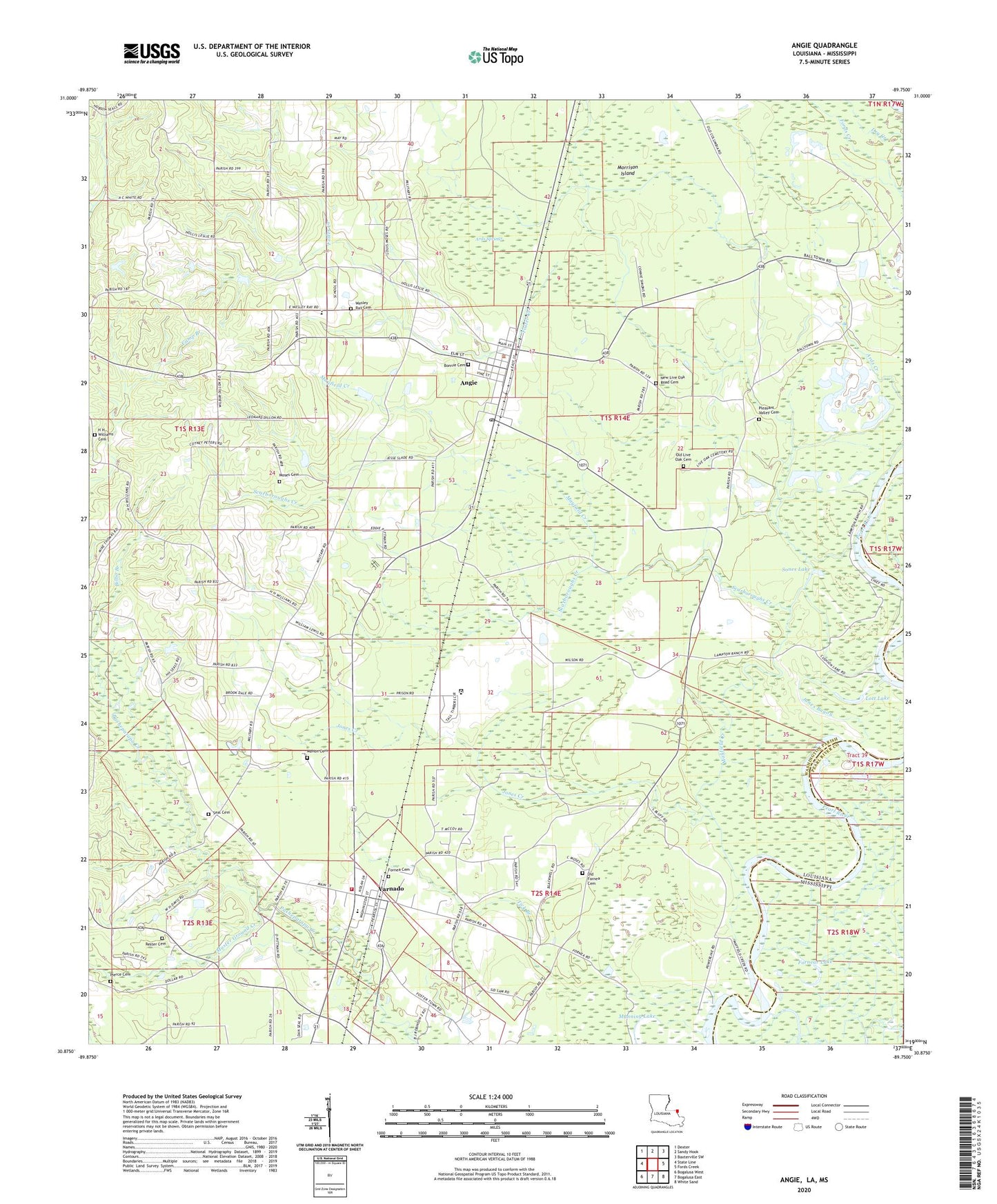
2024 topographic map quadrangle Angie in the states of Louisiana, Mississippi. Scale: 1:24000. Based on the newly updated USGS 7.5' US Topo map series, this map is in the following counties: Washington, Pearl River, Marion. The map contains contour data, water features, and other items you are used to seeing on USGS maps, but also has updated roads and other features. This is the next generation of topographic maps. Printed on high-quality waterproof paper with UV fade-resistant inks.
Quads adjacent to this one:
West: State Line
Northwest: Dexter
North: Sandy Hook
Northeast: Baxterville SW
East: Fords Creek
Southeast: White Sand
South: Bogalusa East
Southwest: Bogalusa West
Contains the following named places: Angie, Angie Baptist Church, Angie Junior High School, Angie Post Office, Angle Lookout Tower, Ards Creek, Ards Springs, B B Rayburn Correctional Center, B B Rayburn Correctional Center Special School, Baughman Lake, Bellamy, Black Lake, Bonnie Cemetery, Camerons Ferry, Center Church, Church of Our Lord, Dry Creek, Ferry Landing, First Missionary Baptist Church of Varnado, Fords Mill, Fornea Cemetery, Fornear Lake, Foster Creek, H H Williams Cemetery, Harris Temple, Holy Temple Church of God, Johns Branch, Jones Bayou, Jones Creek, Lampton Ranch, Leighdon Bluff Ferry, Live Oak Church, Living Way Church of God, Lott Lake, Marys Chapel, Mayfield Creek, Military Road School, Mohon Cemetery, Morrison Island, Moses Cemetery, Mount Zion Church, Muster Ground Creek, New Zion Church, Old Fornea Cemetery, Old Live Oak Cemetery, Parish Governing Authority District 4, Pierce Cemetery, Pilgrims Rest Church, Pine Grove Church, Pleasant Valley Cemetery, Pleasant Valley Number Five Dam, Pleasant Valley Number Four Dam, Pleasant Valley Number One Dam, Pleasant Valley Number Three Dam, Pleasant Valley Number Two Dam, Rester Cemetery, Scarboroughs Creek, Seal Cemetery, Smith Lake, Sones Lake, Southern Baptist Church of Varnado, Tick Branch, Varnado, Varnado Elementary School, Varnado High School, Village of Angie, Village of Varnado, Warren Lake, Washington Parish Fire Protection District 6, Wesley Ray Cemetery, Wesley Ray Church, Wesley Ray Elementary School, ZIP Code: 70426


