MyTopo
Bogalusa West Louisiana US Topo Map
Couldn't load pickup availability
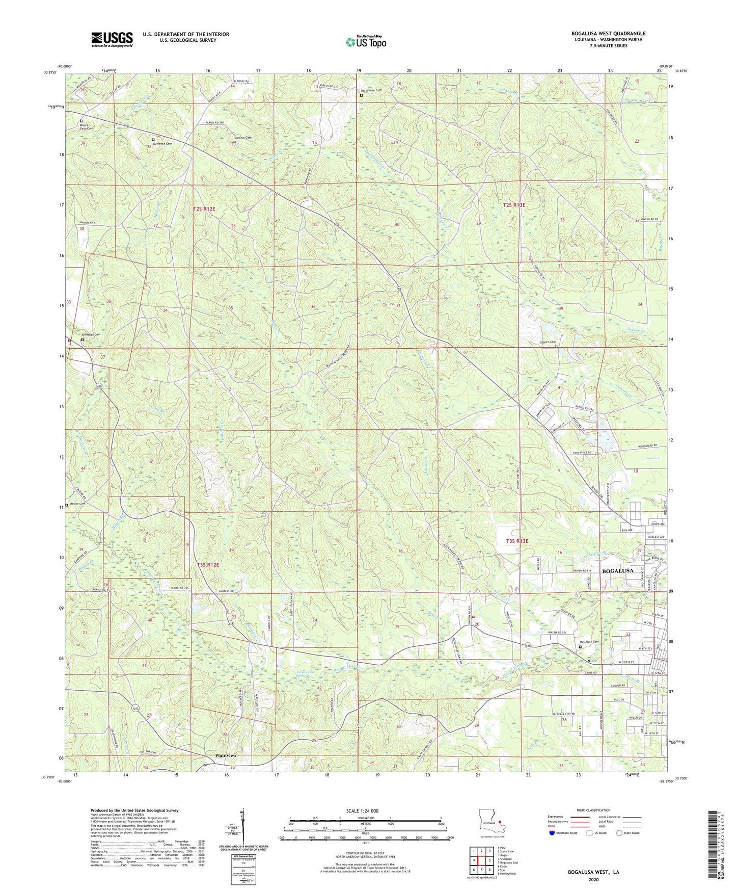
2024 topographic map quadrangle Bogalusa West in the state of Louisiana. Scale: 1:24000. Based on the newly updated USGS 7.5' US Topo map series, this map is in the following counties: Washington. The map contains contour data, water features, and other items you are used to seeing on USGS maps, but also has updated roads and other features. This is the next generation of topographic maps. Printed on high-quality waterproof paper with UV fade-resistant inks.
Quads adjacent to this one:
West: Sheridan
Northwest: Pine
North: State Line
Northeast: Angie
East: Bogalusa East
Southeast: Henleyfield
South: Sun
Southwest: Enon
This map covers the same area as the classic USGS quad with code o30089g8.
Contains the following named places: Adams Creek, Baughman Branch, Baughman Cemetery, Bens Creek, Bens Ford Baptist Church, Bens Ford School, Bogalusa Gas Field, Bogalusa Head Start School, Boggy Branch, Camp Five, Camp Four, Camp Three, Church of God, Coburn Cemetery, Corkern Cemetery Number 1, Denhamtown Elementary School, Franklinton Police Department - Equipment Yard, Greater Morning Star Church, Harry Chapel United Methodist Church, Jacksonville Springs, Knights Creek, Long Branch, McGehee Cemetery, McNeese Cemetery, Meazels Creek, Miller Branch, Mount Sinai Cemetery, Mount Sinai Church, New Hope Church of God, Plainview, Plainview Baptist Church, Plainview School, Plummer Knight School, Rester Cemetery, Sheridan Cemetery, Sheridan Fire Tower, Sheridan Lookout Tower, Washington Parish Fire District 7 Station 2, Washington Parish Fire District 7 Station 5, Washington Parish Police Jury, Westside Emmanuel Baptist Church, WIKC-AM (Bogalusa), Zion Church