MyTopo
Beggs Louisiana US Topo Map
Couldn't load pickup availability
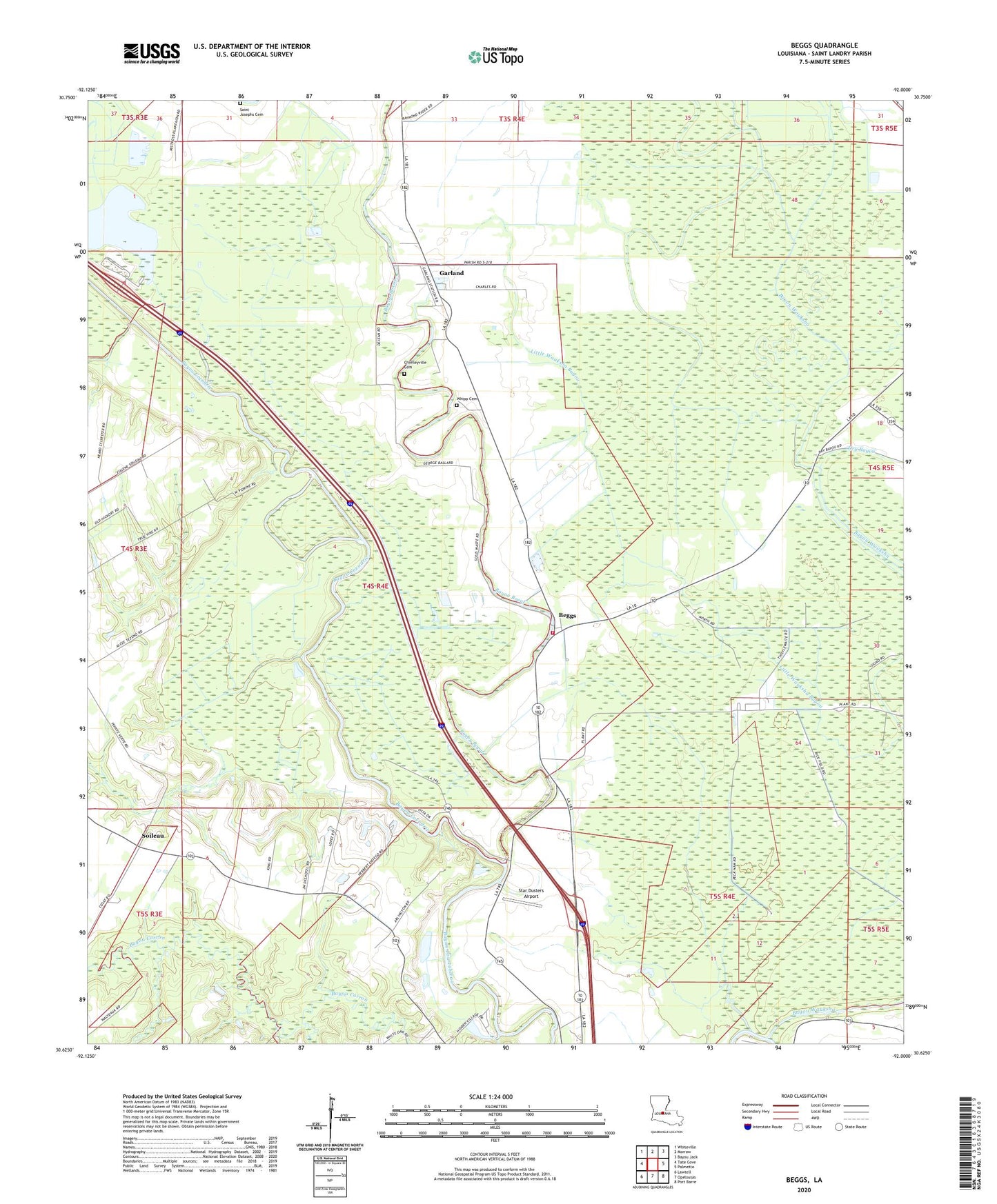
2024 topographic map quadrangle Beggs in the state of Louisiana. Scale: 1:24000. Based on the newly updated USGS 7.5' US Topo map series, this map is in the following counties: St. Landry. The map contains contour data, water features, and other items you are used to seeing on USGS maps, but also has updated roads and other features. This is the next generation of topographic maps. Printed on high-quality waterproof paper with UV fade-resistant inks.
Quads adjacent to this one:
West: Tate Cove
Northwest: Whiteville
North: Morrow
Northeast: Bayou Jack
East: Palmetto
Southeast: Port Barre
South: Opelousas
Southwest: Lawtell
This map covers the same area as the classic USGS quad with code o30092f1.
Contains the following named places: Bayou Belleview, Bayou Boeuf, Bayou Cocodrie, Bayou Wauksha, Begg Post Office, Beggs, Chimleyville Cemetery, Chimleyville Church, Coulee Garrigue, Dry Bayou, Garland, Grassy Lake, Macedonia Church, Macland, Saint Agnes Church, Saint Josephs Cemetery, Saint Landry Parish Fire District 3 Station 7 Beggs Substation, Soileau, Star Dusters Airport, Thistlethwaite Camp, Union Chapel, Ward Five, Washington Oil and Gas Field, Whipp Cemetery, ZIP Code: 70589