MyTopo
Carville Louisiana US Topo Map
Couldn't load pickup availability
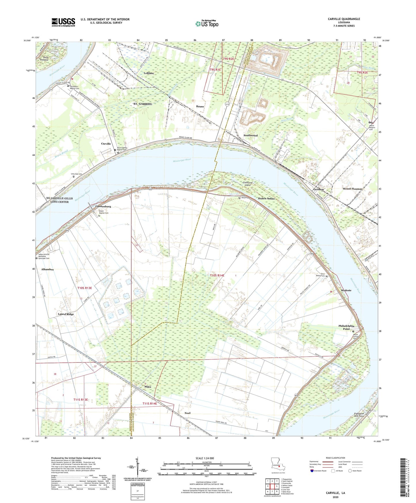
2024 topographic map quadrangle Carville in the state of Louisiana. Scale: 1:24000. Based on the newly updated USGS 7.5' US Topo map series, this map is in the following counties: Ascension, Iberville. The map contains contour data, water features, and other items you are used to seeing on USGS maps, but also has updated roads and other features. This is the next generation of topographic maps. Printed on high-quality waterproof paper with UV fade-resistant inks.
Quads adjacent to this one:
West: White Castle
Northwest: Plaquemine
North: Saint Gabriel
Northeast: Prairieville
East: Gonzales
Southeast: Donaldsonville
South: Belle Rose
Southwest: Lone Star
This map covers the same area as the classic USGS quad with code o30091b1.
Contains the following named places: Alhambra, Asbery African Methodist Episcopal Cemetery, Asbery African Methodist Episcopal Church, Babbin Landing, Barrin Landing, Belle Grove Plantation, Belle Helene Landing, Brazil Baptist Cemetery, Brazile Church, Bruns, Caliborne Landing, Cannonburg, Carville, Carville Post Office, Carville Wastewater Treatment Facility, Carville-White Castle Ferry, Chatham Landing, Claiborne Island, Claiborne Landing, Claiborne Plantation, Cottage Farm, Dreyfus, Dreyfus Landing, Dutch Town School, East Iberville Volunteer Fire Department, Elsie Landing, Elsie School, First Emmanuel Church, First Mount Olive Church, Geismar, Geismar Landing, Geismar Post Office, Germania Landing, Goldmine Plantation, Hard Times Landing, Hohen Solms, Indian Camp Plantation, Jackie Robinson Memorial Park, Jerusalem Baptist Cemetery, KKAY-AM (White Castle), Laurel Ridge, Laurel Ridge Oil and Gas Field, LeBlanc, Lone Oak Cemetery, Louisville, Miles, Modeste, Modeste Fire Department, Modeste Park, Modeste Plantation, Modeste Post Office, Mount Bethel Baptist Cemetery, Mount Bethel Church, Mount Calvary Cemetery, Mount Houmas, Mount Pelgrim Cemetery, Mount Pilgrim Church, Mulberry Grove Plantation, New Hope Plantation, New Mount Calvary Church, Noel, Old Hickory Landing, One Hundred Mile Landing, Parish Governing Authority District 1, Parish Governing Authority District 4, Philadelphia Point, Philadelphia Point Landing, Philadelphia Point Revetment, Point Pleasant Baptist Church, Point Pleasant School, Revenue Plantation, Rocky Canal, Saint Gabriel School, Saint Mary Church, Saint Marys Cemetery, Saint Phillip Baptist Church, Saint Phillip Cemetery, Southwood, Union Texas Petroleum Heliport, Ward Five, Ward Six, Woodstock Landing, ZIP Codes: 70346, 70721


