MyTopo
Donaldsonville Louisiana US Topo Map
Couldn't load pickup availability
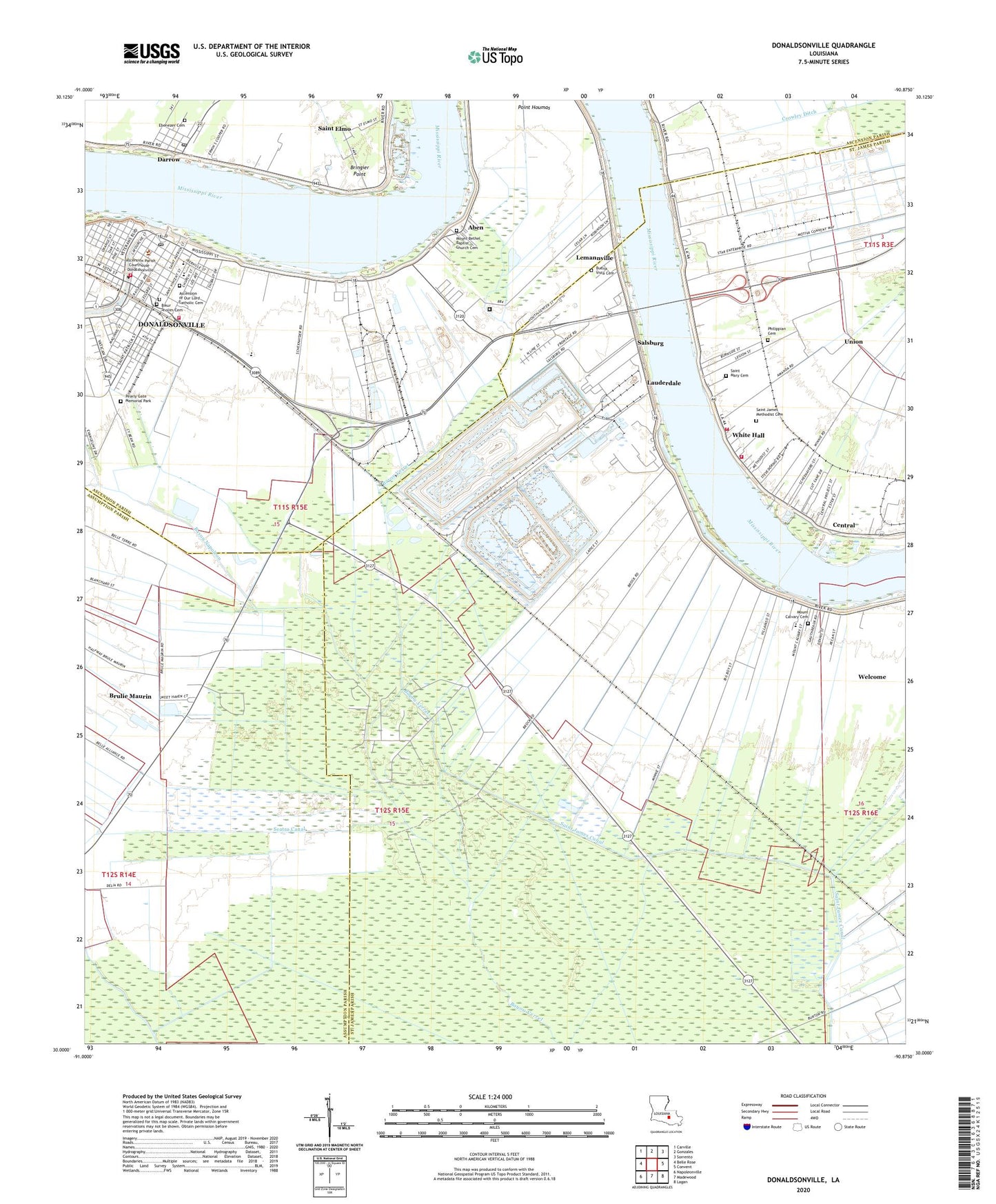
2024 topographic map quadrangle Donaldsonville in the state of Louisiana. Scale: 1:24000. Based on the newly updated USGS 7.5' US Topo map series, this map is in the following counties: St. James, Ascension, Assumption. The map contains contour data, water features, and other items you are used to seeing on USGS maps, but also has updated roads and other features. This is the next generation of topographic maps. Printed on high-quality waterproof paper with UV fade-resistant inks.
Quads adjacent to this one:
West: Belle Rose
Northwest: Carville
North: Gonzales
Northeast: Sorrento
East: Convent
Southeast: Lagan
South: Madewood
Southwest: Napoleonville
This map covers the same area as the classic USGS quad with code o30090a8.
Contains the following named places: Aben, Acadia Plantation, Alta Vela Plantation, Arcadia Landing, Ascension Catholic Elementary School, Ascension Catholic High School, Ascension of Our Lord Catholic Cemetery, Ascension Parish Early Childhood / Head Start School, Ascension Parish Jail, Ascension Parish Library Donaldsonville Branch, Ascension Parish Police Jury, Ascension Parish Sheriff's Office, Ascension Parish Sheriff's Office - Tax Department, Bagatelle Plantation, Bayou Napoleon, Bringier Point, Brulie Maurin, Bruly Plantation, Buena Vista Baptist Church, Buena Vista Cemetery, Buena Vista Plantation, Burnside Revetment, Calvary Outreach Tabernacle, Central, Central Station, Church of the Ascension of Our Lord Jesus Christ, City of Donaldsonville, Darrow, Darrow Census Designated Place, Darrow Post Office, Delia Plantation, Donaldsonville, Donaldsonville Courthouse, Donaldsonville Fire Department, Donaldsonville Historic District, Donaldsonville Landing, Donaldsonville Marine Institute School, Donaldsonville Post Office, Donaldsonville Primary School, Dream Center Church, Dugas Plantation, D'Ville House, Ebenezer Baptist Church, Ebenezer Cemetery, Elina Plantation, Faith Christian Center, First United Methodist Church, Greater Mount Pilgrim Baptist Church, Hermitage, Hermitage Landing, Houmas Plantation, Jeremiah Baptist Church, La Blank Plantation, Lapice Oil Field, Lauderdale, Lemannville, Lemannville Census Designated Place, Louisiana Square, Mandesir Plantation, May Plantation, Minnie, Minnie Plantation, Monroe Plantation, Mount Bethel Baptist Church, Mount Calvary Cemetery, Mount Calvary Church, Mount Moriah Baptist Church, Mount Salem Baptist Church, Mount Triumph Baptist Church, Mount Zion Baptist Church, Nazarene Baptist Church, New Hope Plantation, New Saint Peter's Baptist Church, Philippian Baptist Church, Philippian Cemetery, Pleasant Point Plantation, Point Houmas, Rapidan, River Road African American Museum, Riverdale Country Club, Romeville Elementary School, Romeville Head Start School, Saint Alice Plantation, Saint Alice Revetment, Saint Catherine Catholic Church, Saint Catherine School, Saint Elmo, Saint Elmo Revetment, Saint Francis of Assisi Catholic Church, Saint James Parish Youth Center Alternative School, Saint James United Methodist Church, Saint Joseph Plantation, Saint Louis Academy, Saint Louis School, Saint Luke African Methodist Episcopal Church, Saint Mary Plantation, Saint Matthews Missionary Baptist Church, Saint Peters Methodist Church, Saint Victoire Plantation, Salbury Landing, Salsburg, Salsburg Landing, Seatra Canal, Stella Landing, Sunshine Fire Department, Tippecanoe Plantation, Union, Union - Convent Fire Department Union Station 2, Union Census Designated Place, Union Convent Volunteer Fire Department Station 1, Union Landing, Union Plantation, Ward Four, Ward Three, Welcome Census Designated Place, Welcome Head Start Center School, White Hall, Word of Life Church


