MyTopo
Belle Rose Louisiana US Topo Map
Couldn't load pickup availability
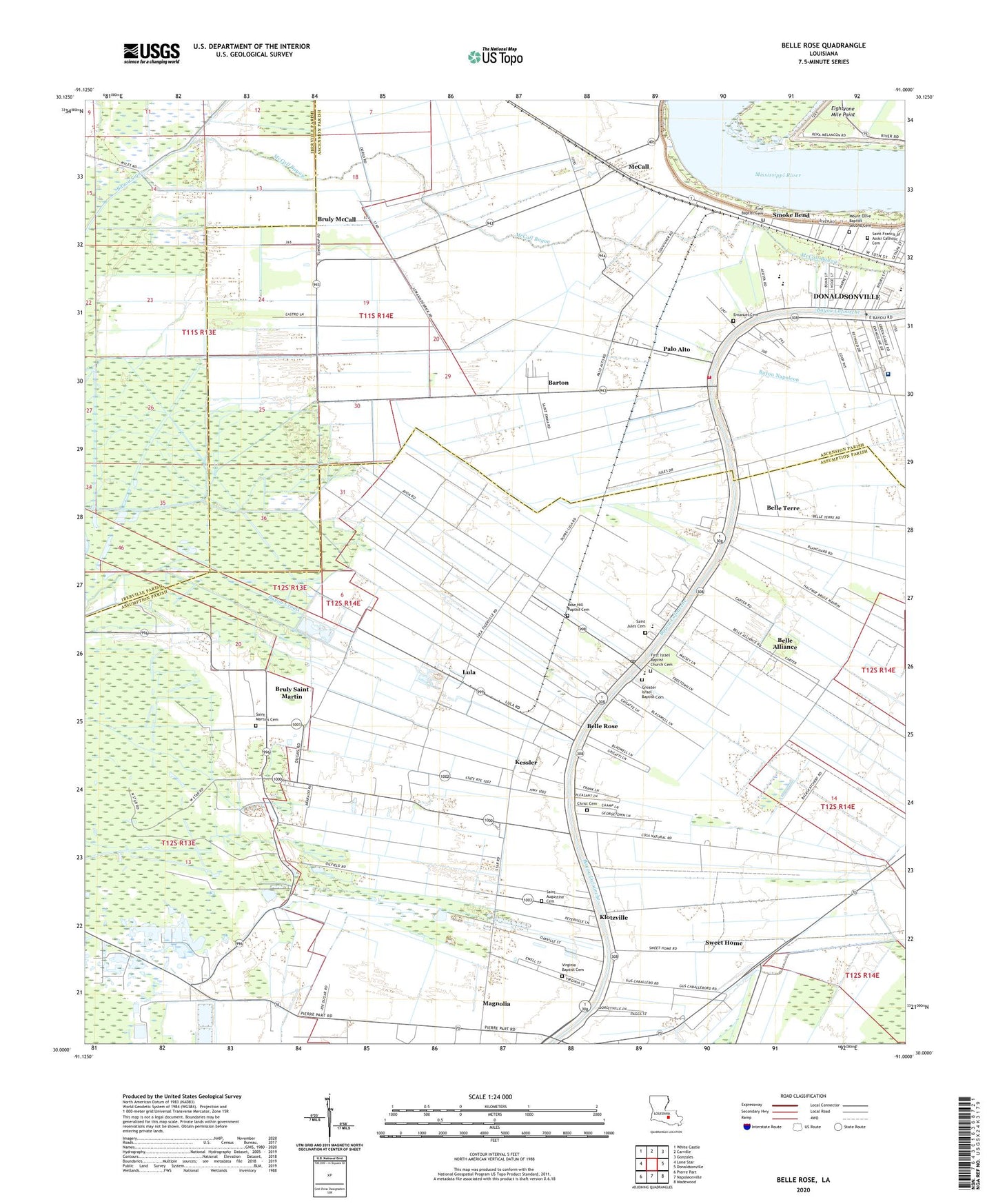
2024 topographic map quadrangle Belle Rose in the state of Louisiana. Scale: 1:24000. Based on the newly updated USGS 7.5' US Topo map series, this map is in the following counties: Assumption, Ascension, Iberville. The map contains contour data, water features, and other items you are used to seeing on USGS maps, but also has updated roads and other features. This is the next generation of topographic maps. Printed on high-quality waterproof paper with UV fade-resistant inks.
Quads adjacent to this one:
West: Lone Star
Northwest: White Castle
North: Carville
Northeast: Gonzales
East: Donaldsonville
Southeast: Madewood
South: Napoleonville
Southwest: Pierre Part
This map covers the same area as the classic USGS quad with code o30091a1.
Contains the following named places: Air Farm Landing Strip, Amehe, Ascension Parish Council on Aging, Barton, Bayou LaFourche Academy, Belle Alliance, Belle Alliance Landing Strip, Belle Rose, Belle Rose Census Designated Place, Belle Rose Head Start School, Belle Rose Middle School, Belle Rose Plantation, Belle Rose Post Office, Belle Rose Primary School, Belle Terre, Bruly McCall, Bruly Saint Martin, Burbank, Cane-Air Airport, Christ Baptist Church, Christ Cemetery, Community Worhship Center School, Community Worship Center, Counsel of God Ministries, Donaldson Mental Health Clinic, Donaldsonville High School, Eightyone Mile Point, Emanuel Baptist Church, Emanuel Cemetery, Evan Hall Landing, Evan Hall Plantation, First Baptist Church, First Baptist Church of Smoke Bend, Freetown, Geary, Greater Israel Baptist Church, Kessler, Kingdom Hall of Jehovahs Witnesses, KKAY-FM (Donaldsonville), Klotzville, Lowery Elementary School, Lowery Middle School, Lula, Magnolia, McCall, McCall Bayou, Monty, Napoleonville Oil and Gas Field, No Problem Raceway Park, Paincourtville Volunteer Fire Department Station 2, Paincourtville Volunteer Fire Department Station 3, Palo Alto, Palo Alto Fire Department, Parish Governing Authority District 1, Parish Governing Authority District 7, Precious Cornerstone Apostolic Church, Prevost Memorial Hospital, Prevost Memorial Hospital Heliport, Rose Hill Baptist Church, Saint Augustine Cemetery, Saint Augustine Church, Saint Augustine School, Saint James United Methodist Church, Saint Joseph Church, Saint Jules Cemetery, Saint Jules Church, Saint Martins Cemetery, Saint Martins Church, Second Mount Olive Baptist Church, Smoke Bend, Smoke Bend Revetment, Star, Sweet Home, Virginia Baptist Cemetery, Virginia Baptist Church, Ward One, Ward Seven, Ward Two, ZIP Code: 70341


