MyTopo
False Mouth Bayou Louisiana US Topo Map
Couldn't load pickup availability
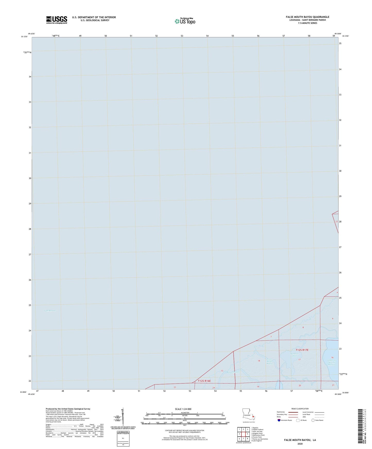
2024 topographic map quadrangle False Mouth Bayou in the state of Louisiana. Scale: 1:24000. Based on the newly updated USGS 7.5' US Topo map series, this map is in the following counties: St. Bernard. The map contains contour data, water features, and other items you are used to seeing on USGS maps, but also has updated roads and other features. This is the next generation of topographic maps. Printed on high-quality waterproof paper with UV fade-resistant inks.
Quads adjacent to this one:
West: Alligator Point
Northwest: Rigolets
North: English Lookout
Northeast: Saint Joe Pass
East: Malheureux Point
Southeast: Lake Eugenie
South: Pointe aux Marchettes
Southwest: Proctor Point
This map covers the same area as the classic USGS quad with code o30089a5.
Contains the following named places: Bayou Magill, False Mouth Bayou, Jack Kent Heliport, Lake Borgne