MyTopo
Ferriday North Louisiana US Topo Map
Couldn't load pickup availability
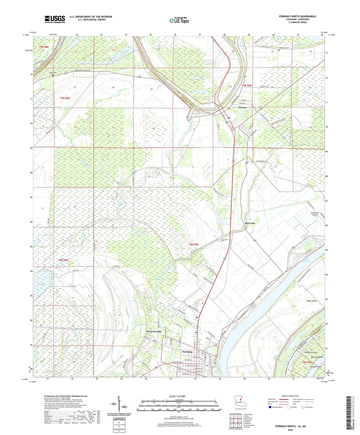
2024 topographic map quadrangle Ferriday North in the states of Louisiana, Mississippi. Scale: 1:24000. Based on the newly updated USGS 7.5' US Topo map series, this map is in the following counties: Concordia, Catahoula, Adams. The map contains contour data, water features, and other items you are used to seeing on USGS maps, but also has updated roads and other features. This is the next generation of topographic maps. Printed on high-quality waterproof paper with UV fade-resistant inks.
Quads adjacent to this one:
West: Dunbarton
Northwest: Sicily Island
North: Foules
Northeast: Waterproof
East: Spokane
Southeast: Natchez
South: Ferriday South
Southwest: Frogmore
Contains the following named places: Black Bayou, Blue Lake, Calhoun Cemetery, Camp Lake, Carroll Lake, Church of Christ, Clayton, Clayton Post Office, Clayton Volunteer Fire Department, Concordia Parish Library, Delta Charter School, Dicen Bayou, Evening Star Church, Ferriday, Ferriday City Hall, Ferriday Country Club, Ferriday Fire Department, Ferriday High School, Ferriday Lower Elementary School, Ferriday Plaza Shopping Center, Ferriday Police Department, Ferriday Post Office, First Assembly of God Church, First Baptist Church, First Church of God, Flat Lake, Greater Saint Reed Baptist Church, Hill Memorial Baptist Church, Jenkins Lake, Kimball Bayou, Lake Concordia, Learned Park, Little Tensas River, Louisiana Technical College Shelby M Jackson Campus, Lower Clear Lake, Middle Ground, Opossum Bayou, Ox Lake, Panola Brake, Pasternack Shopping Center, Red Gum, Rising Sun Church, Riverland Medical Center, Rogers Cemetery, Rosehill Baptist Church, Round Lake, Saint Patrick Catholic Church, Saint Peters Church, Sevier Memorial United Methodist Church, Shavins Bayou, Shavins Lake, Sixth Street Church of God in Christ, Town of Clayton, Town of Ferriday, Upper Clear Lake, Vidal Island, Vidal Island Oil Field, Ward One, Ward Two, Wayne Brown Airport, West Ferriday, Zion Hill Baptist Church, ZIP Code: 71334


