MyTopo
Dunbarton Louisiana US Topo Map
Couldn't load pickup availability
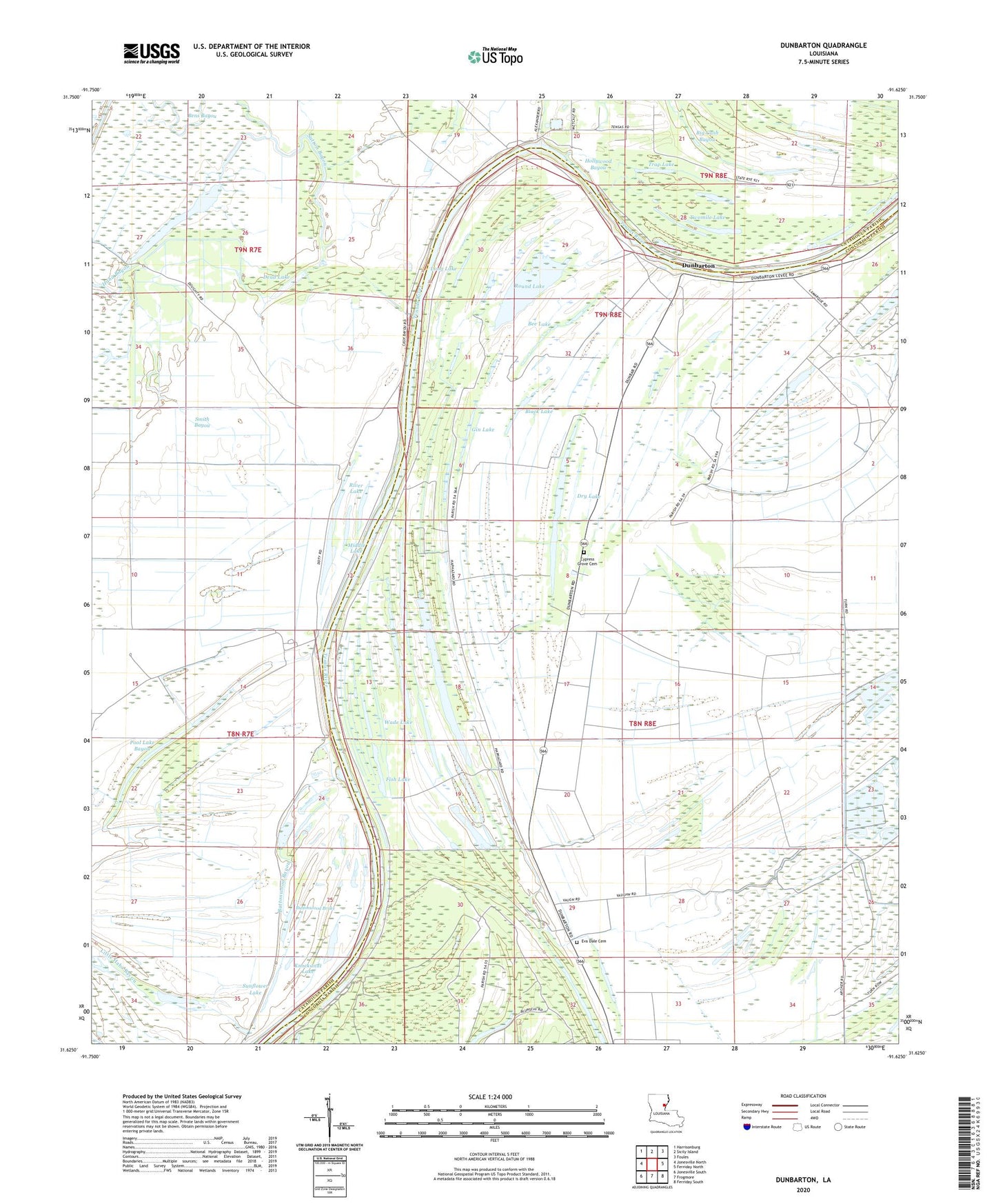
2024 topographic map quadrangle Dunbarton in the state of Louisiana. Scale: 1:24000. Based on the newly updated USGS 7.5' US Topo map series, this map is in the following counties: Concordia, Catahoula. The map contains contour data, water features, and other items you are used to seeing on USGS maps, but also has updated roads and other features. This is the next generation of topographic maps. Printed on high-quality waterproof paper with UV fade-resistant inks.
Quads adjacent to this one:
West: Jonesville North
Northwest: Harrisonburg
North: Sicily Island
Northeast: Foules
East: Ferriday North
Southeast: Ferriday South
South: Frogmore
Southwest: Jonesville South
This map covers the same area as the classic USGS quad with code o31091f6.
Contains the following named places: Ballina, Ballina Oil Field, Ballina Plantation, Bee Lake, Bens Bayou, Bens Lake, Big Cash Bayou, Black Lake, Brushy Bayou, Buttonwood Bayou, Buttonwood Brake, Cash Bayou Church, Chantilly Church, Cypress Grove Cemetery, Dead Lake, Dry Lake, Dunbarton, Dunbarton Church, Eva Dale Cemetery, Faith Church, First Baptist Church, Fish Lake, Frogmore Oil Field, Gin Lake, Haphazard Plantation, Hollywood Bayou, House of Prayer Church, Jonesville Oil Field, Knockanat Lake, Little Bens Lake, Little Haha Bayou, Long Lake, Middle Lake, Mount Oliva Church, New Saint John Church, Northeast Frogmore Oil Field, Parish Governing Authority District 5A, Pool Lake Bayou, River Lake, Rose Grove Church, Round Lake, Shanty Lake, Smith Bayou, Sunflower Lake, Sutton Bayou, Swazee Lake, Trap Lake, Twomile Lake, Wade Lake


