MyTopo
Ferriday South Louisiana US Topo Map
Couldn't load pickup availability
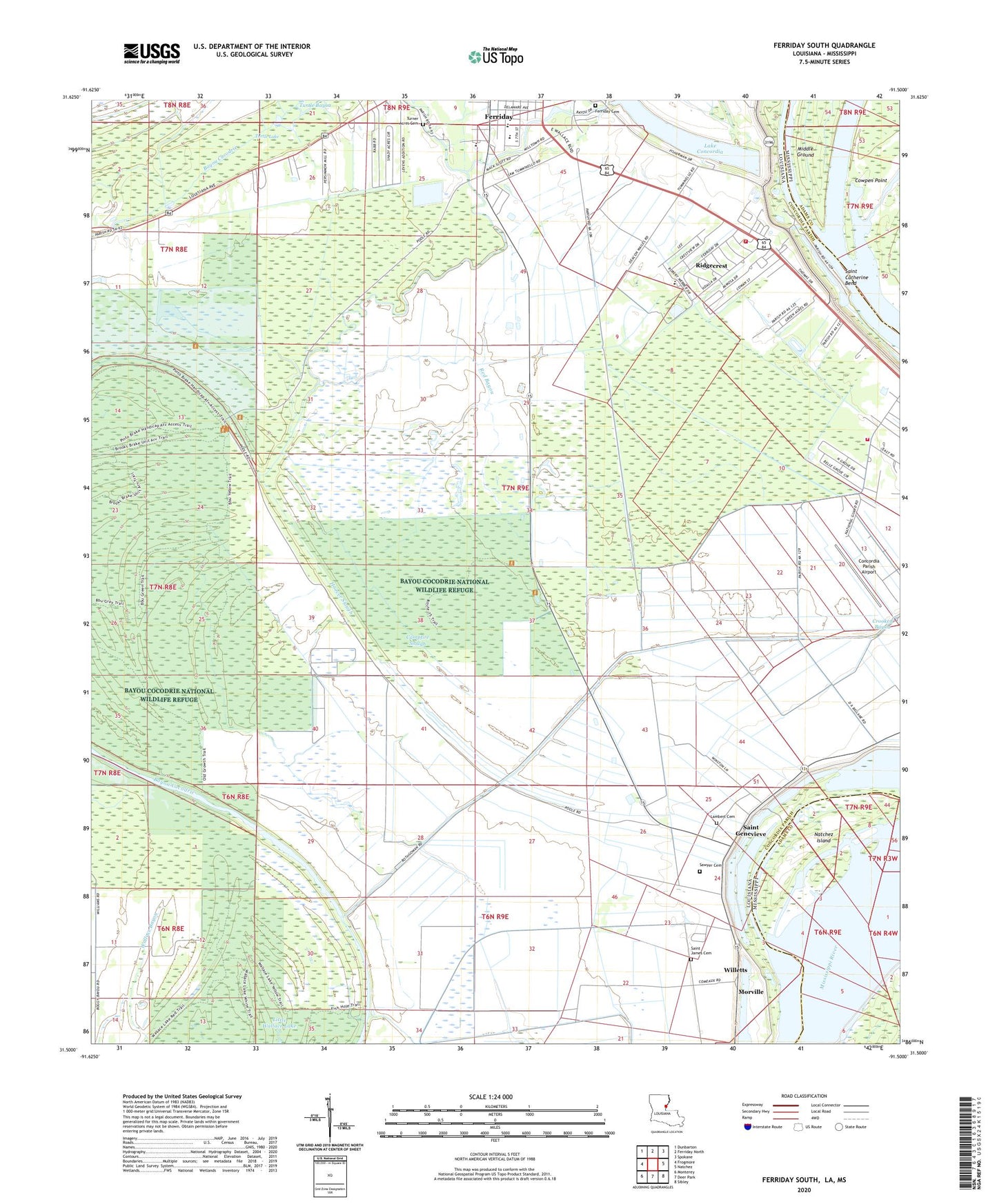
2024 topographic map quadrangle Ferriday South in the states of Louisiana, Mississippi. Scale: 1:24000. Based on the newly updated USGS 7.5' US Topo map series, this map is in the following counties: Concordia, Adams. The map contains contour data, water features, and other items you are used to seeing on USGS maps, but also has updated roads and other features. This is the next generation of topographic maps. Printed on high-quality waterproof paper with UV fade-resistant inks.
Quads adjacent to this one:
West: Frogmore
Northwest: Dunbarton
North: Ferriday North
Northeast: Spokane
East: Natchez
Southeast: Sibley
South: Deer Park
Southwest: Monterey
Contains the following named places: Bayou Cocodrie National Wildlife Refuge, Bethel Missionary School, Campfire Slough, Concordia Education Center, Concordia Fire District 2, Concordia Parish Academy of Math Science and Technology, Concordia Parish Airport, Delta Ultralight Airport, Dobbins Lake, Evangel Temple, Ferriday Cemetery, Ferriday Junior High School, Ferriday Upper Elementary School, Fort Bowie Park, Hoover Slough, Jeffries Landing, KFNV-AM (Ferriday), KFNV-FM (Ferriday), Lambert Cemetery, Little Wallace Lake, Lucerna, Marengo Bend Revetment, Mercy Seat Baptist Church, Morville, Mount Beulah Baptist Church, Mount Olive Baptist Church, Mount Pleasant Church, Natchez Island, New Morning Star Baptist Church, Old Saint Reed Church, Parish Governing Authority District 4, Red Bayou, Ridgecrest, Ridgecrest Baptist Church, Ridgecrest Volunteer Fire Department, Rosenwald School, Rufus Baptist Church, Saint Catherine Bend, Saint Genevieve, Saint James Cemetery, Saint James Church, Saint Thomas Church, Saughy, Sawyer Cemetery, Sevier High School, Shady Acres Church, Sycamore, Sycamore Baptist Church, Sycamore Landing, Town of Ridgecrest, Turner Acres Cemetery, Turtle Lake, Union Baptist Church, Ward Four, West Ferriday Census Designated Place, Willetts


