MyTopo
Gibson Louisiana US Topo Map
Couldn't load pickup availability
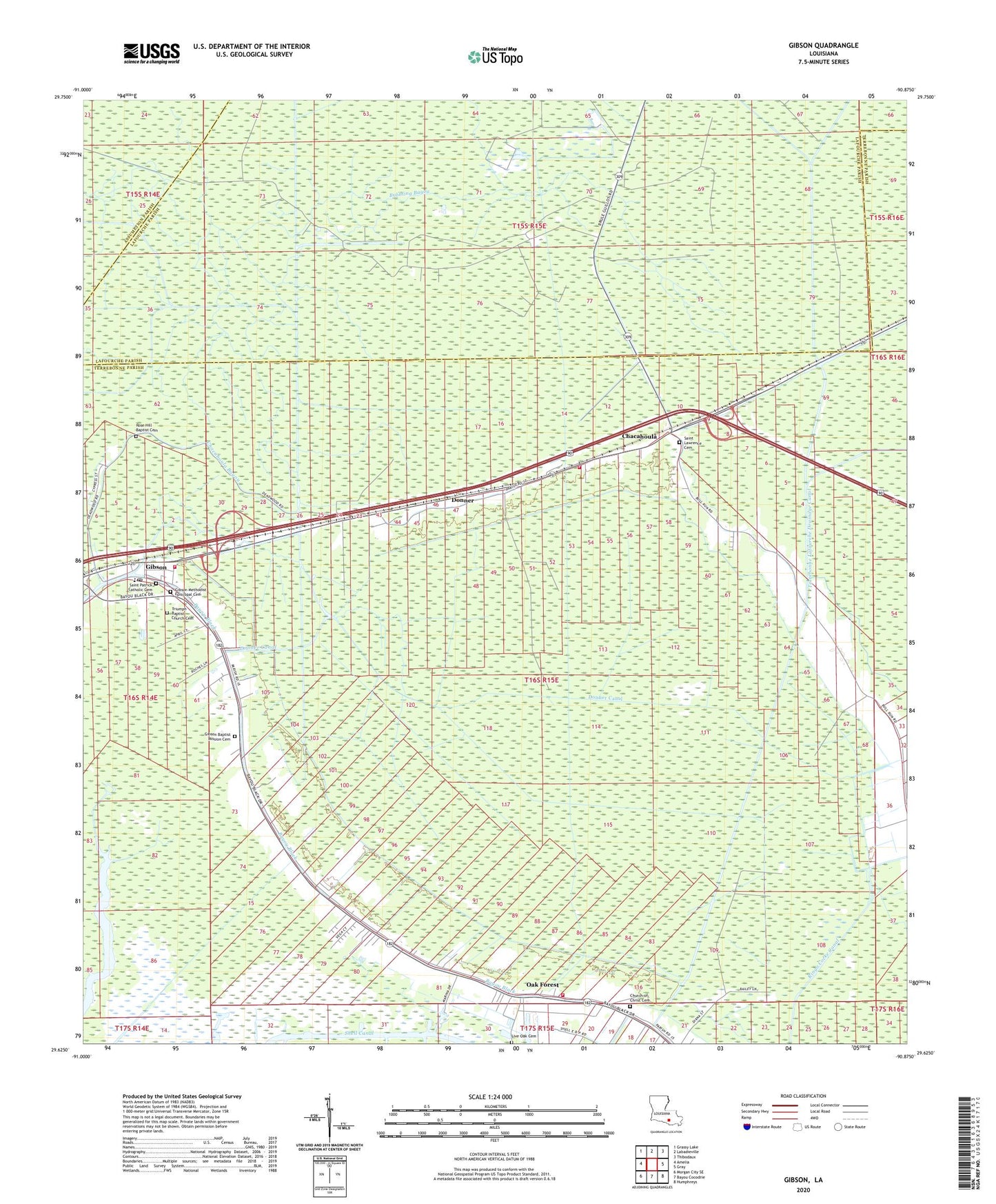
2024 topographic map quadrangle Gibson in the state of Louisiana. Scale: 1:24000. Based on the newly updated USGS 7.5' US Topo map series, this map is in the following counties: Terrebonne, Lafourche, Assumption. The map contains contour data, water features, and other items you are used to seeing on USGS maps, but also has updated roads and other features. This is the next generation of topographic maps. Printed on high-quality waterproof paper with UV fade-resistant inks.
Quads adjacent to this one:
West: Amelia
Northwest: Grassy Lake
North: Labadieville
Northeast: Thibodaux
East: Gray
Southeast: Humphreys
South: Bayou Cocodrie
Southwest: Morgan City SE
This map covers the same area as the classic USGS quad with code o29090f8.
Contains the following named places: Beulah Church, Bubbling Bayou, Buzzard Roost Church, Carte Rouge, Chacahoula, Chacahoula Bayou, Chacahoula Oil and Gas Field, Chapel of the Blessed, Circle G Mobile Home Park, District 8 Emergency Heliport, Donna Lynns Mobile Home Park, Donner, Donner Canal, Donner Chacahoula Volunteer Fire Department, Donner Oil Field, East Donner Gas Field, Gibson, Gibson Church, Gibson East Volunteer Fire Department, Gibson Elementary School, Gibson Post Office, Gibson Volunteer Fire and Rescue, Harvest Fields Community Church, Oak Forest, Parish Governing Authority District 2, Parish Governing Authority District O, Petersville School, Ringo Cocke Canal, Rose Hill Church, Saint Lawrence Catholic Church, Shell Canal, Shell Pipe Line Gibson Heliport, Terrebonne Lafourche Drainage Canal, Terrebonne Parish Library Gibson Branch, Tiger Bayou, Ward Eight, ZIP Codes: 70352, 70356