MyTopo
Cut Off Louisiana US Topo Map
Couldn't load pickup availability
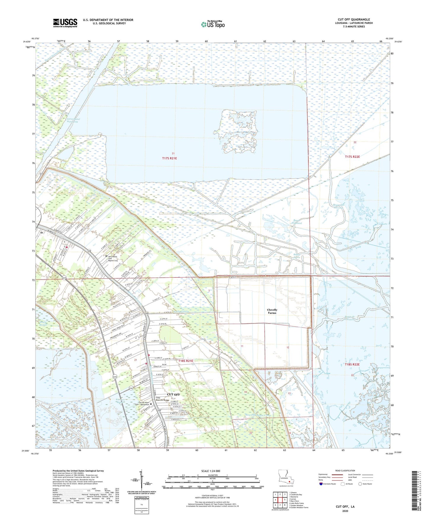
2024 topographic map quadrangle Cut Off in the state of Louisiana. Scale: 1:24000. Based on the newly updated USGS 7.5' US Topo map series, this map is in the following counties: Lafourche. The map contains contour data, water features, and other items you are used to seeing on USGS maps, but also has updated roads and other features. This is the next generation of topographic maps. Printed on high-quality waterproof paper with UV fade-resistant inks.
Quads adjacent to this one:
West: Larose
Northwest: Gheens
North: Catahoula Bay
Northeast: Barataria
Southeast: Golden Meadow Farms
South: Golden Meadow
Southwest: Lake Bully Camp
This map covers the same area as the classic USGS quad with code o29090e3.
Contains the following named places: Bayou de la Gauche, Bayou Des Amoreux, Bayou Pierce, Bayou Poignard, Bayou Poignard Gas Field, Bon Service Shopping Center, Christian Fellowship Church, Clovelly Airport, Clovelly Farms, Clovelly Farms Seaplane Base, Cote Blanche Bridge, Cut Off, Cut Off Census Designated Place, Cut Off Church of Christ, Cut Off Community Bible Church, Cut Off Elementary School, Cut Off Oil and Gas Field, Delta Farms, Dixie Delta Canal, First Baptist Church, KBAU-FM (Galliano), Lady of the Sea Hospital Heliport, Lafourche Parish Fire District 3 East Cut Off Station, Lafourche Parish Fire District 3 West Cut Off Station, Lafourche Parish Fire District 3 West Larose Station, Larose - Cut Off Middle School, Larose Oil and Gas Field, Ledet Airfield, Lions Park, Mount Zion Baptist Church, Mount Zion School, New Mount Zion Baptist Cemetery, Opportunity Place Adult Education Center South Campus, Parish Governing Authority District 12, Parish Governing Authority District 8, Raccoon Bayou, Sacred Heart Cemetery / Mausoleum, Sacred Heart Church, Scully Canal, South Lafourche Nursing Center, South Larose Elementary School, ZIP Codes: 70345, 70373


