MyTopo
Happy Jack Louisiana US Topo Map
Couldn't load pickup availability
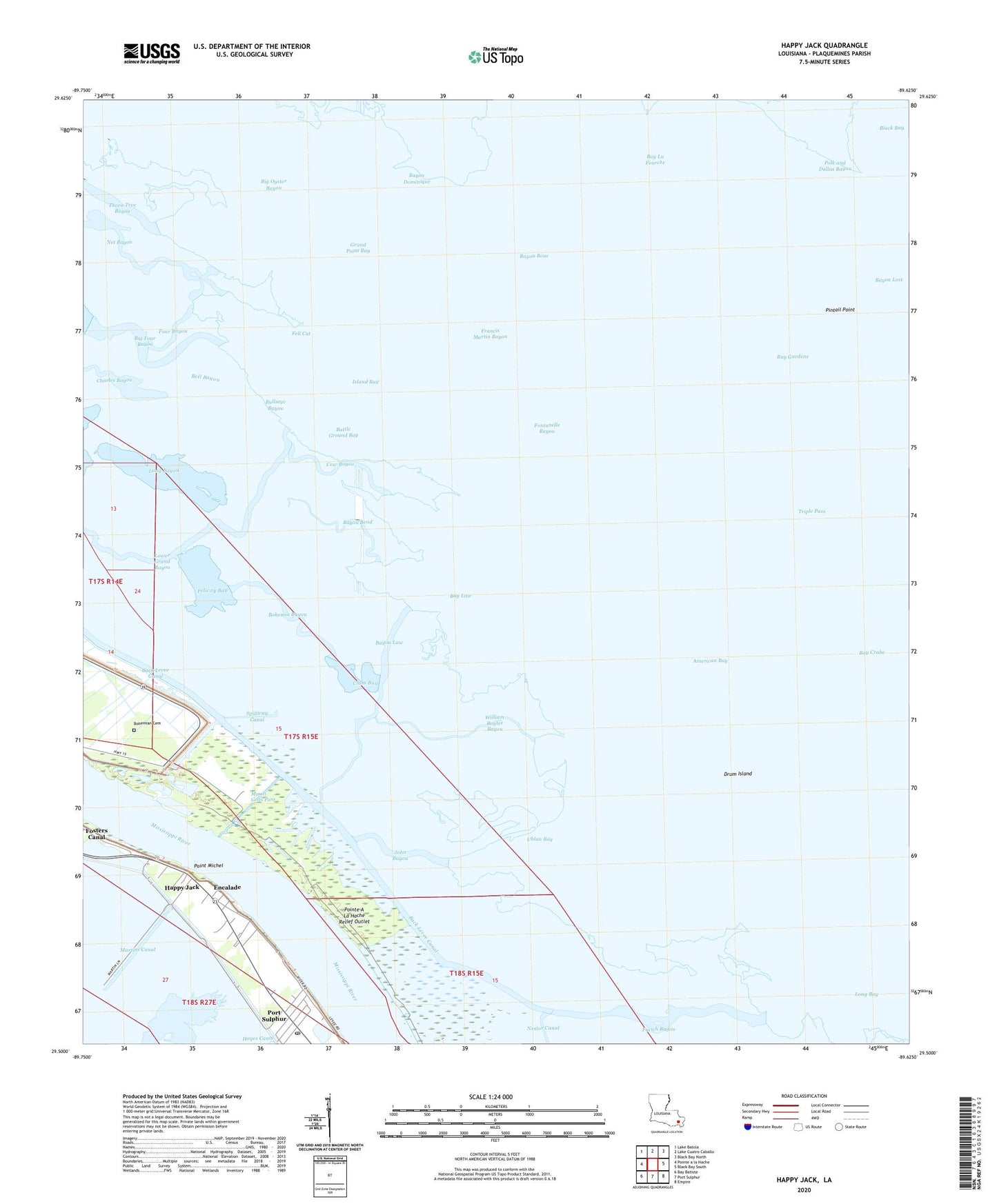
2024 topographic map quadrangle Happy Jack in the state of Louisiana. Scale: 1:24000. Based on the newly updated USGS 7.5' US Topo map series, this map is in the following counties: Plaquemines. The map contains contour data, water features, and other items you are used to seeing on USGS maps, but also has updated roads and other features. This is the next generation of topographic maps. Printed on high-quality waterproof paper with UV fade-resistant inks.
Quads adjacent to this one:
West: Pointe a la Hache
Northwest: Lake Batola
North: Lake Cuatro Caballo
Northeast: Black Bay North
East: Black Bay South
Southeast: Empire
South: Port Sulphur
Southwest: Bay Batiste
This map covers the same area as the classic USGS quad with code o29089e6.
Contains the following named places: American Bay, Back Levee Canal, Battle Ground Bay, Bay Gardene, Bay La Fourche, Bay Law, Bayou Bend, Bayou Boue, Bayou Dominique, Bayou Law, Big Four Bayou, Big Oyster Bayou, Bohemia Bayou, Bohemian Cemetery, Bullseye Bayou, Charles Bayou, Clam Bay, Cow Bayou, Drum Island, Encalade, Felicity Bay, Fell Cut, Fernandez Canal, Fontanelle Bayou, Four Bayou, Francis Martin Bayou, Fucich Bayou, Grand Point Bay, Happy Jack, Island Bay, John Bayou, Long Bayou, Lower Grand Bayou, Mardi Gras Pass, Martins Canal, McBride School, Net Bayou, Our Lady of Lourdes Church, Our Lady of Lourdes School, Pintail Point, Point Michel, Point Michel Revetment, Polk and Dallas Bayou, Port Sulphur Baptist Church, Port Sulphur Census Designated Place, Port Sulphur Post Office, Potash District Camp, Potash Oil and Gas Field, Spillway Canal, Triple Pass, Uhlan Bay, William Boyles Bayou, ZIP Code: 70082


