MyTopo
Lake Cuatro Caballo Louisiana US Topo Map
Couldn't load pickup availability
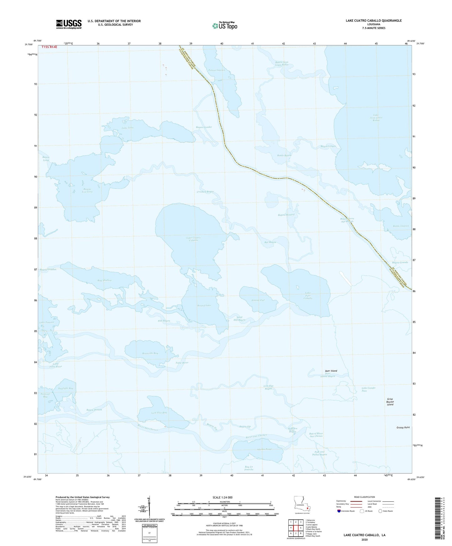
2024 topographic map quadrangle Lake Cuatro Caballo in the state of Louisiana. Scale: 1:24000. Based on the newly updated USGS 7.5' US Topo map series, this map is in the following counties: Plaquemines, St. Bernard. The map contains contour data, water features, and other items you are used to seeing on USGS maps, but also has updated roads and other features. This is the next generation of topographic maps. Printed on high-quality waterproof paper with UV fade-resistant inks.
Quads adjacent to this one:
West: Lake Batola
Northwest: Delacroix
North: Yscloskey
Northeast: Lena Lagoon
East: Black Bay North
Southeast: Black Bay South
South: Happy Jack
Southwest: Pointe a la Hache
This map covers the same area as the classic USGS quad with code o29089f6.
Contains the following named places: Adema Pond, Bay of River Aux Chenes, Bay Shallow, Bayou Fon Gera, Bayou Goudet, Bayou Jean Louis Robin, Bayou Lingeo, Bayou Menard, Bayou Ponton, Bayou Terre Aux Boeufs, Bayou Zip, Bottle Bayou, Bottle Lagoon, Branville Bay, Crooked Bayou, Crooked Bayou Gas Field, Daylight Bay, Deer Island, Deer Island Bayou, False River, Flat Bayou, Lake Campo, Lake Campo Pass, Lake Cuatro Caballo, Lake Jean Louis Robin, Lake John, Lake Pato Caballo, Little False River, Lost Flat Bay, Lost Flat Bayou, Petain Lagoon, Pintail Flat, Polk and Dallas Bayou, Popcorn Bayou, Rat Bayou, Round Lake, Sand Hill Bayou, Sister Bayou