MyTopo
Black Bay North Louisiana US Topo Map
Couldn't load pickup availability
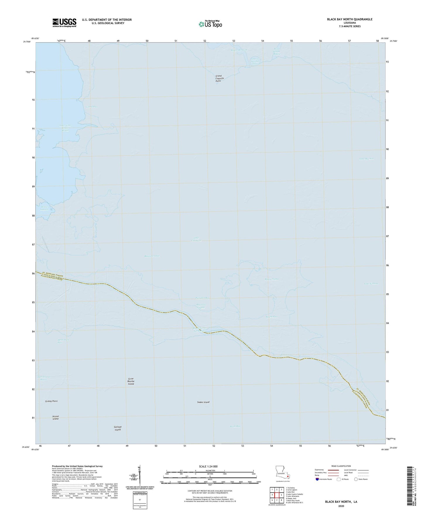
2024 topographic map quadrangle Black Bay North in the state of Louisiana. Scale: 1:24000. Based on the newly updated USGS 7.5' US Topo map series, this map is in the following counties: St. Bernard, Plaquemines. The map contains contour data, water features, and other items you are used to seeing on USGS maps, but also has updated roads and other features. This is the next generation of topographic maps. Printed on high-quality waterproof paper with UV fade-resistant inks.
Quads adjacent to this one:
West: Lake Cuatro Caballo
Northwest: Yscloskey
North: Lena Lagoon
Northeast: Lake Eloi
East: Lake Athanasio
Southeast: Lake Athanasio OE S
South: Black Bay South
Southwest: Happy Jack
This map covers the same area as the classic USGS quad with code o29089f5.
Contains the following named places: Bayou Grande, Bayou la Lagune, Bayou Numa, Bayou Palo, Block 12 Oil Field, Dead Duck Pass, Deer Island Bayou, Drum Bay, Gallega Island, Grand Coquille Point, Grand Pass, Grassy Point, Grise Bourbe Island, Jessies Island, Lake Calebasse, Lake Campo Gas Field, Lake Coquille, Lake of Second Trees, North Black Bay Oil and Gas Field, Pumpkin Bay, Snake Island