MyTopo
Mandeville Louisiana US Topo Map
Couldn't load pickup availability
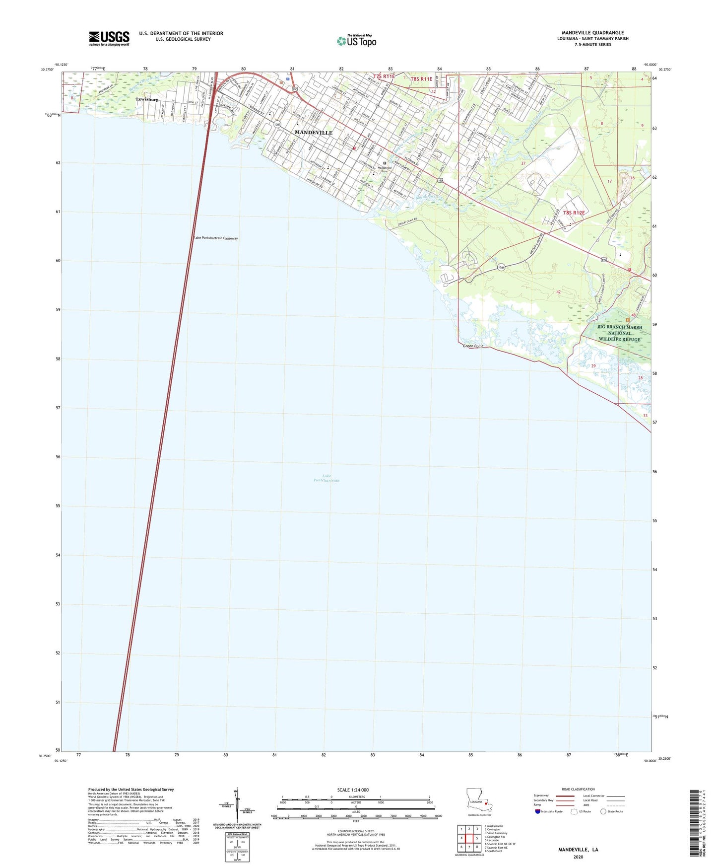
2024 topographic map quadrangle Mandeville in the state of Louisiana. Scale: 1:24000. Based on the newly updated USGS 7.5' US Topo map series, this map is in the following counties: St. Tammany. The map contains contour data, water features, and other items you are used to seeing on USGS maps, but also has updated roads and other features. This is the next generation of topographic maps. Printed on high-quality waterproof paper with UV fade-resistant inks.
Quads adjacent to this one:
West: Covington SW
Northwest: Madisonville
North: Covington
Northeast: Saint Tammany
East: Lacombe
Southeast: South Point
South: Spanish Fort NE
Southwest: Spanish Fort NE OE W
This map covers the same area as the classic USGS quad with code o30090c1.
Contains the following named places: Bayou Castine, Bayou Chinchuba, Cane Bayou, Castine Regional Sewage Treatment Plant, Chahta Mobile Home Park, Deliverance Tabernacle, First Baptist Church of Mandeville, First Free Mission Baptist Church, Fontainebleau State Park, Goodwill Baptist Church, Green Point, L P Monteleone Junior High School, Lewisburg, Lewisburg Census Designated Place, Little Bayou Castine, Lurline Smith Mental Health Center, Mandeville, Mandeville Addictive Disorders Alcohol and Drug Unit, Mandeville Bible Church, Mandeville Cemetery, Mandeville Cultural Interpretive Center, Mandeville Elementary School, Mandeville Fire Department, Mandeville Junior High School, Mandeville Police Department, Morning Star Baptist Church, Newell United Methodist Church, Northshore Options Alternative School, Nott, Ochsner Health Center Mandeville, Operation Jumpstart Alternative School, Our Lady of the Lake Catholic Church, Our Lady of the Lake Roman Catholic School, Parish Governing Authority District 10, Pontchartrain Health Care Center, Saint Tammany Parish Fire District 4 Station 41, Saint Tammany Parish Fire District 4 Station 44, Saint Tammany Parish Library Mandeville Branch, Saint Timothy Church on the North Shore, Southeast Louisiana Hospital, Southeast Louisiana Hospital Fontainebleau Treatment Center, Southeast Louisiana Hosptial Special Services District Facility, The Learning Tree Day Care Center, Woodlake Elementary School, ZIP Code: 70448


