MyTopo
South Point Louisiana US Topo Map
Couldn't load pickup availability
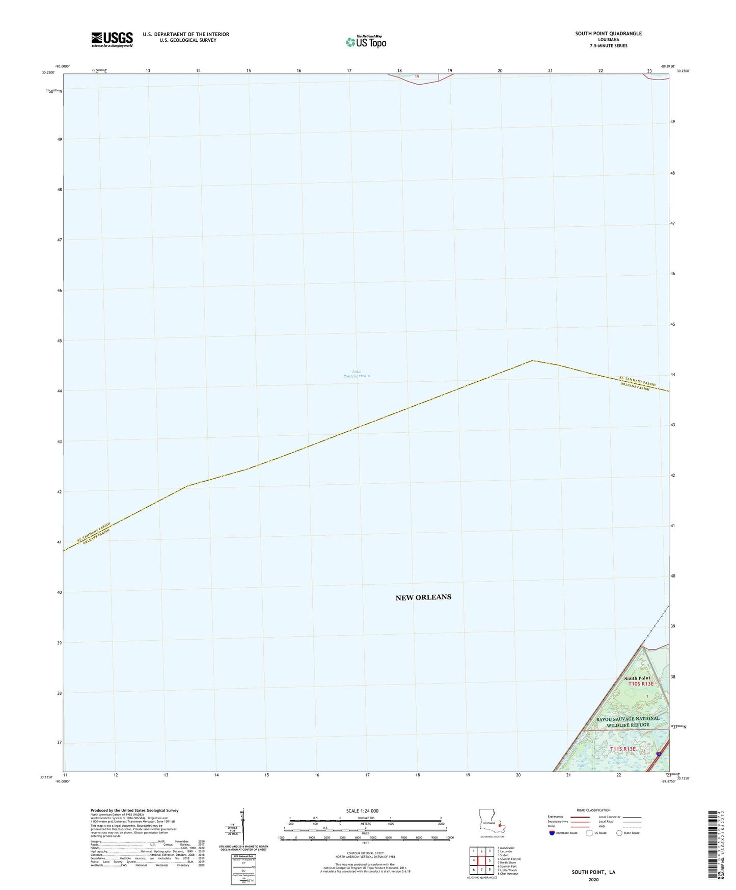
2024 topographic map quadrangle South Point in the state of Louisiana. Scale: 1:24000. Based on the newly updated USGS 7.5' US Topo map series, this map is in the following counties: Orleans, St. Tammany. The map contains contour data, water features, and other items you are used to seeing on USGS maps, but also has updated roads and other features. This is the next generation of topographic maps. Printed on high-quality waterproof paper with UV fade-resistant inks.
Quads adjacent to this one:
West: Spanish Fort NE
Northwest: Mandeville
North: Lacombe
Northeast: Slidell
East: North Shore
Southeast: Chef Menteur
South: Little Woods
Southwest: Spanish Fort
This map covers the same area as the classic USGS quad with code o30089b8.
Contains the following named places: Bayou Castiglione, Big Point Gas Field, Point Platte, South Point