MyTopo
Montpelier Louisiana US Topo Map
Couldn't load pickup availability
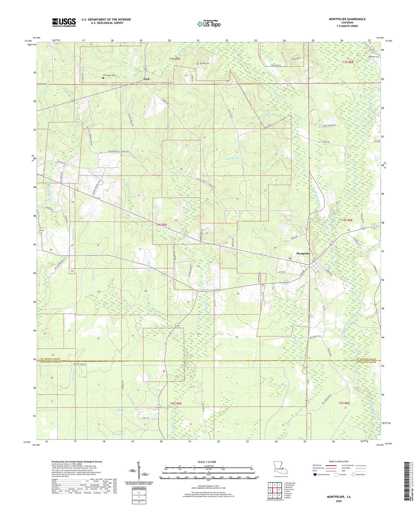
2020 topographic map quadrangle Montpelier in the state of Louisiana. Scale: 1:24000. Based on the newly updated USGS 7.5' US Topo map series, this map is in the following counties: St. Helena, Livingston. The map contains contour data, water features, and other items you are used to seeing on USGS maps, but also has updated roads and other features. This is the next generation of topographic maps. Printed on high-quality waterproof paper with UV fade-resistant inks.
Quads adjacent to this one:
West: Pine Grove
Northwest: Hatchersville
North: Greensburg
Northeast: Roseland
East: Amite
Southeast: Albany
South: Holden
Southwest: Satsuma
Contains the following named places: Becky Branch, Bedstead Branch, Bills Branch, Brushy Creek, Camp Running Water, Coffman Creek, Crooked Branch, Curtis Creek, Dales Chapel, Davis Branch, East Spring Branch, Fred Branch, George Cemetery, Goodman Branch, Hog Bayou, Jack, Jordan Branch, Kale Branch, Killian Branch, Midway Church, Mitchell Branch, Montpelier, Montpelier Baptist Church, Montpelier Fire Department, Montpelier Police Department - Chief, Morgan Chapel, Morgan Chapel African Methodist Episcopal Church, Mount Zion Freewill Baptist Church, New Hope Cemetery, New Hope Church, Red Hill Branch, Rocky Hill Church, Rocky Hill School, Shillings Branch, Shiloh Church, Stone Branch, Sweet Gum Pond, Twelvemile Creek, Village of Montpelier, Ward Four, West Spring Branch, Williams Branch