MyTopo
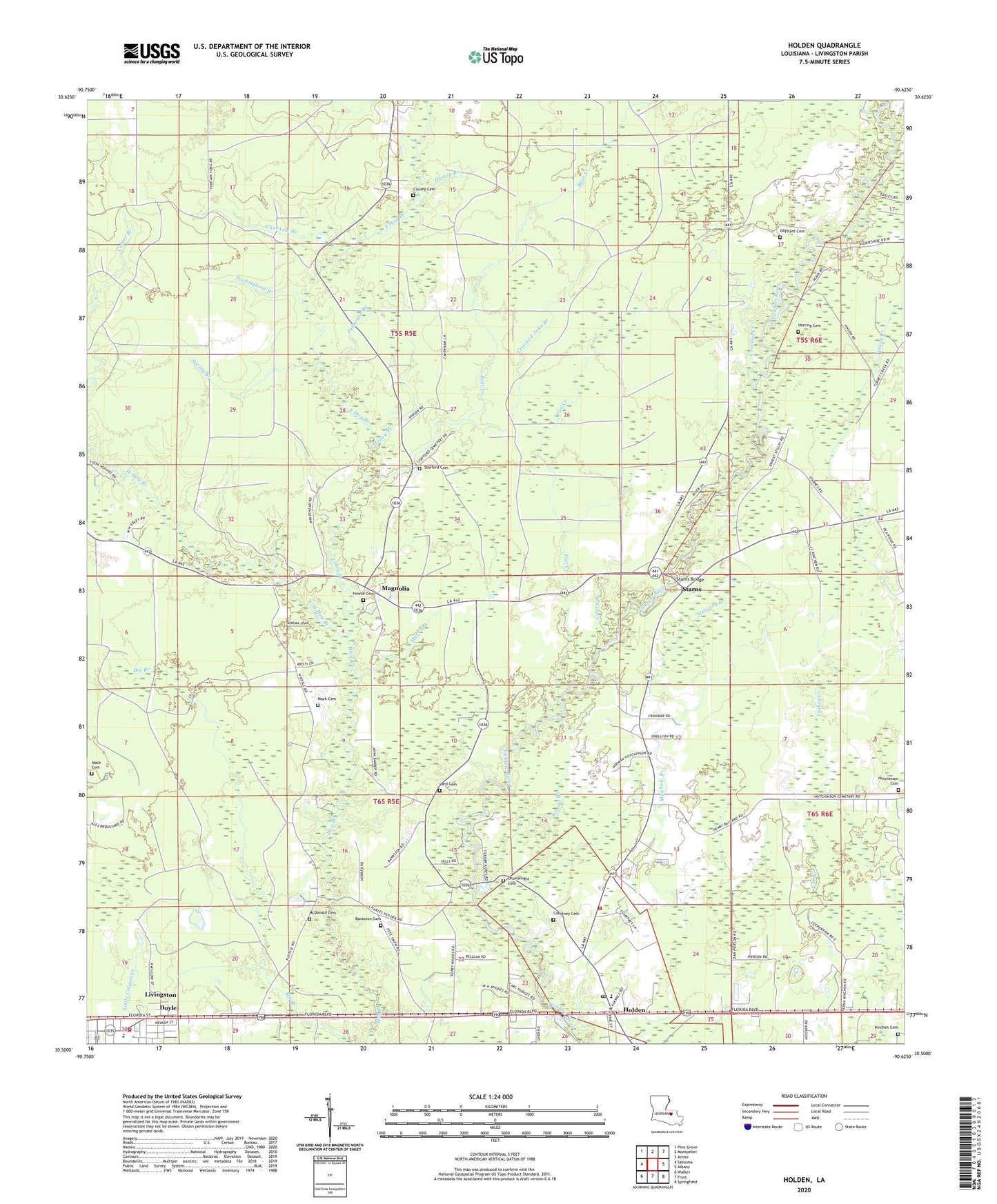
Holden Louisiana US Topo Map
Couldn't load pickup availability
2024 topographic map quadrangle Holden in the state of Louisiana. Scale: 1:24000. Based on the newly updated USGS 7.5' US Topo map series, this map is in the following counties: Livingston. The map contains contour data, water features, and other items you are used to seeing on USGS maps, but also has updated roads and other features. This is the next generation of topographic maps. Printed on high-quality waterproof paper with UV fade-resistant inks.
Quads adjacent to this one:
West: Satsuma
Northwest: Pine Grove
North: Montpelier
Northeast: Amite
East: Albany
Southeast: Springfield
South: Frost
Southwest: Walker
This map covers the same area as the classic USGS quad with code o30090e6.
Contains the following named places: Bankston Cemetery, Bear Creek, Bethel Baptist Church, Camp Swinging Waters, Camp Win A Friend, Caney Branch, Causey Cemetery, Choctaw Branch, Courtney Cemetery, Crooked Creek, Crooked John Branch, Doyle, Doyle Baptist Church, Doyle Bible Baptist Church, Doyle High School, Drumwright Cemetery, Durbin Branch, East Hog Branch, Flat Creek, Herring Cemetery, Holden, Holden High School, Holden Post Office, Honey Branch, Howze Cemetery, Hutchinson Cemetery, Kinchen Cemetery, Lard Cemetery, Livingston, Livingston Fire Department, Livingston Parish Fire Protection District 10, Livingston Parish Library, Livingston Police Department, Livingston Town Hall, Macedonia Baptist Church, Mack Cemetery, Magnolia, Magnolia Baptist Church, Magnolia School, Mars Branch, Mayhaw Branch, McDonald Cemetery, North Livingston Oil Field, Oliphant Cemetery, Palmetto Branch, Purvis Bridge, Saint James Baptist Church, Spring Branch, Stafford Cemetery, Starns, Starns Bridge, Steward Branch, Steward Branch Oil Field, Turkey Creek, United Pentecostal Church of Holden, West Hog Branch, Westmiland Branch, Whispering Pines Church, Woods Branch, ZIP Code: 70744


