MyTopo
Negreet Louisiana US Topo Map
Couldn't load pickup availability
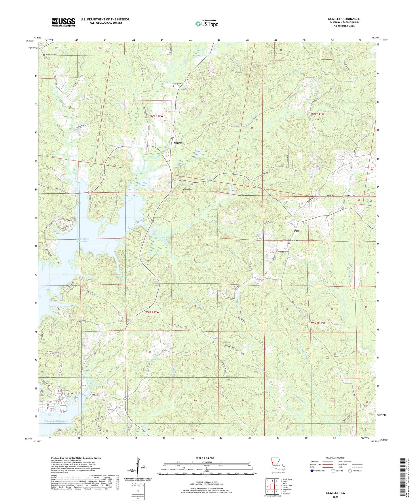
2024 topographic map quadrangle Negreet in the state of Louisiana. Scale: 1:24000. Based on the newly updated USGS 7.5' US Topo map series, this map is in the following counties: Sabine. The map contains contour data, water features, and other items you are used to seeing on USGS maps, but also has updated roads and other features. This is the next generation of topographic maps. Printed on high-quality waterproof paper with UV fade-resistant inks.
Quads adjacent to this one:
West: Salter Creek
Northwest: Beech Bayou
North: Loring
Northeast: Many
East: Florien
Southeast: Hornbeck
South: Toro
Southwest: Negreet SW
This map covers the same area as the classic USGS quad with code o31093d5.
Contains the following named places: Antioch Cemetery, Antioch Church, Antioch School, Brushy Creek, Caney Creek, Carroll Cemetery, Cedar Grove School, Dess, Dess Fire Lookout Tower, Esto, Macedonia Church, Negreet, Negreet Creek, Negreet High School, Negreet Post Office, Negreet School, Parish Governing Authority District 2, Peg Leg Fire Department, Recknor, Redland Cemetery, Redland Church, Roberts Cemetery, Turner Creek, Wall Creek, Ward Three, Winfrey Creek, Zion Hill Baptist Church