MyTopo
Toro Louisiana US Topo Map
Couldn't load pickup availability
Also explore the Toro Forest Service Topo of this same quad for updated USFS data
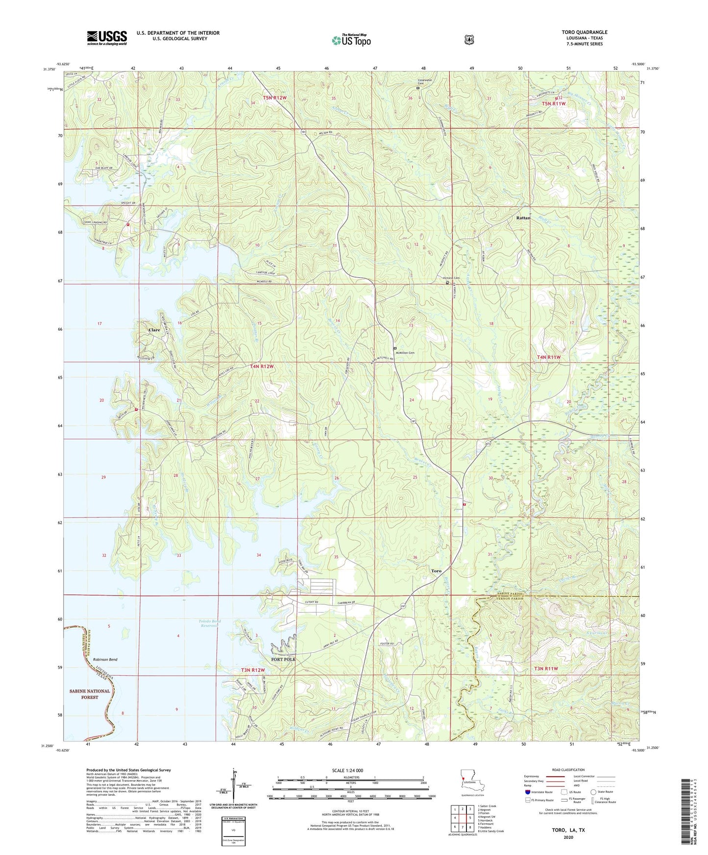
2024 topographic map quadrangle Toro in the states of Louisiana, Texas. Scale: 1:24000. Based on the newly updated USGS 7.5' US Topo map series, this map is in the following counties: Sabine, Vernon. The map contains contour data, water features, and other items you are used to seeing on USGS maps, but also has updated roads and other features. This is the next generation of topographic maps. Printed on high-quality waterproof paper with UV fade-resistant inks.
Quads adjacent to this one:
West: Negreet SW
Northwest: Salter Creek
North: Negreet
Northeast: Florien
East: Hornbeck
Southeast: Little Sandy Creek
South: Haddens
Southwest: Fairmount
Contains the following named places: Arnold Creek, Arthur Creek, Beaver Creek, Blackland Slough, Bluff Creek, Byrd School, Caney Creek, Carmenia, Clare, Clear Water Church, Clearwater Cemetery, Deer Lake, Fort Polk Recreation Site, Gilbert Branch, Glenwood Park Fire Department, H L B Landing, Hamby Creek, Kites Landing, Lakeside Church, Lakeside Fire Department, Little Caney Creek, Little Flock Church, Little Skinner Creek, Lucius Branch, Macedonia Church, Martin Creek, McElvin Branch, McMillion Cemetery, McNeely Branch, Middle Lake, Mill Creek, Oil Well Lake, Panther Branch, Pine Flat School, Pisgah Church, Pleasant Hill Church, Rattan, Rattan Fire Department, Rattan Gas Field, Robinson Bend, South Lucius Creek, Toro, Toro Fire Department, Toro School, Victoria Cemetery, Victoria Church, Victoria School, Viddfer Branch, Ward Two, Wildcat Creek, Wilson Branch, Wooleys Mill, Yocum Creek, Zacks Branch