MyTopo
Jacks Point Island Louisiana US Topo Map
Couldn't load pickup availability
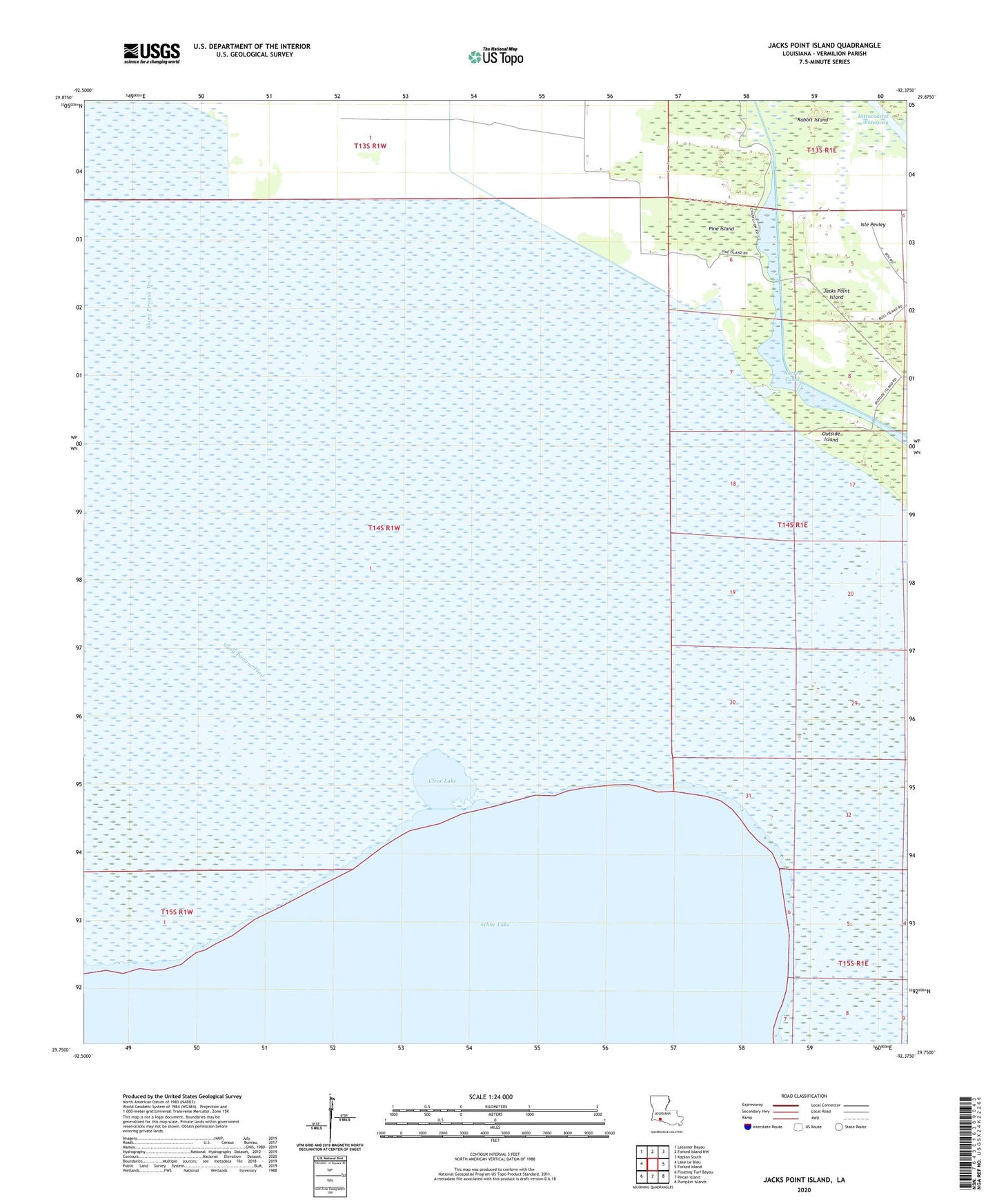
2024 topographic map quadrangle Jacks Point Island in the state of Louisiana. Scale: 1:24000. Based on the newly updated USGS 7.5' US Topo map series, this map is in the following counties: Vermilion. The map contains contour data, water features, and other items you are used to seeing on USGS maps, but also has updated roads and other features. This is the next generation of topographic maps. Printed on high-quality waterproof paper with UV fade-resistant inks.
Quads adjacent to this one:
West: Lake Le Bleu
Northwest: Latanier Bayou
North: Forked Island NW
Northeast: Kaplan South
East: Forked Island
Southeast: Pumpkin Islands
South: Pecan Island
Southwest: Floating Turf Bayou
This map covers the same area as the classic USGS quad with code o29092g4.
Contains the following named places: Clear Lake, Gang Pirogue Trail, Jacks Point Island, Outside Island Gas Field, Pine Island, Rabbit Island, ZIP Code: 70548