MyTopo
Peveto Beach Louisiana US Topo Map
Couldn't load pickup availability
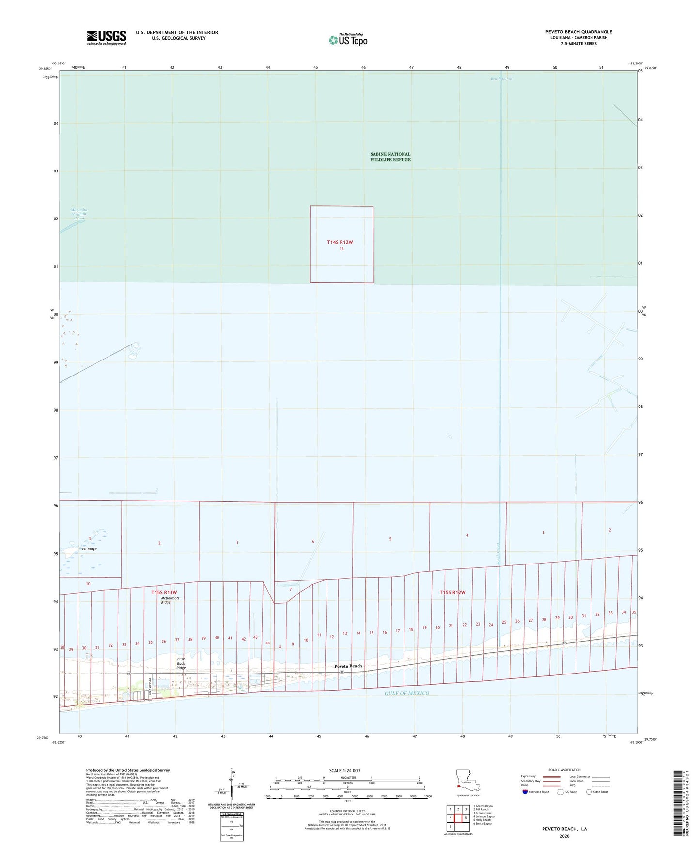
2025 topographic map quadrangle Peveto Beach in the state of Louisiana. Scale: 1:24000. Based on the newly updated USGS 7.5' US Topo map series, this map is in the following counties: Cameron. The map contains contour data, water features, and other items you are used to seeing on USGS maps, but also has updated roads and other features. This is the next generation of topographic maps. Printed on high-quality waterproof paper with UV fade-resistant inks.
Quads adjacent to this one:
West: Johnson Bayou
Northwest: Greens Bayou
North: F-R Ranch
Northeast: Browns Lake
East: Holly Beach
Southwest: Smith Bayou
This map covers the same area as the classic USGS quad with code o29093g5.
Contains the following named places: Beach Camp, Beach Canal, Constance Beach, East Cameron Meadows Gas Field, Eli Ridge, Johnsons Bayou Ward Five, McDermott Ridge, Ocean View Beach, Ocean View Beach Gas Field, Old East Bayou, Peveto Beach, Second Bayou Gas Field, ZIP Code: 70631