
MyTopo
Sailes Louisiana US Topo Map
Couldn't load pickup availability
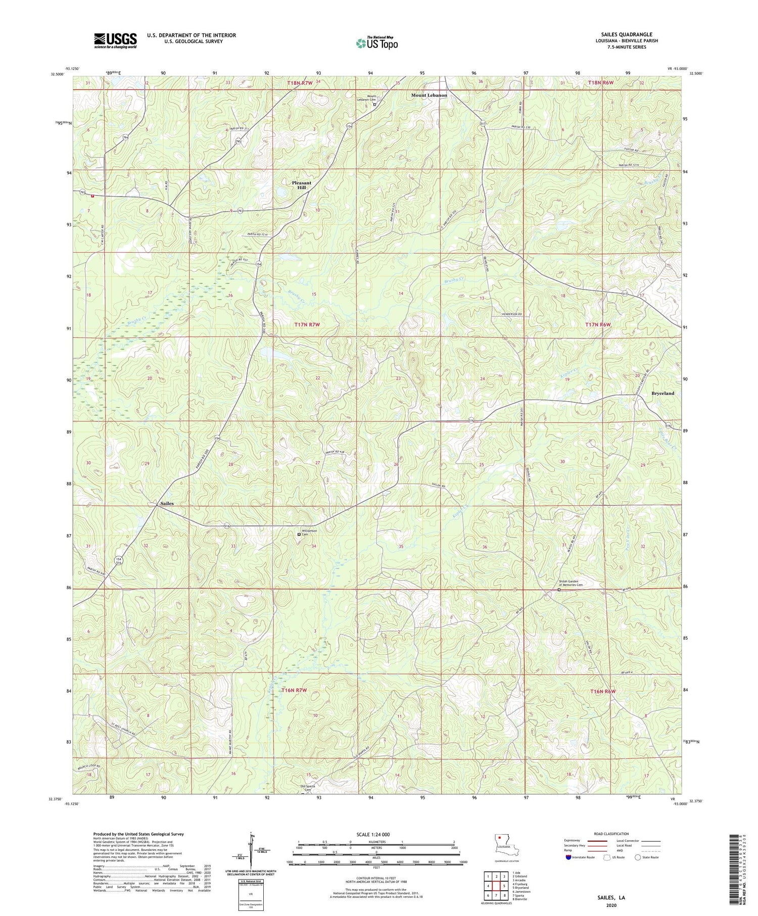
2020 topographic map quadrangle Sailes in the state of Louisiana. Scale: 1:24000. Based on the newly updated USGS 7.5' US Topo map series, this map is in the following counties: Bienville. The map contains contour data, water features, and other items you are used to seeing on USGS maps, but also has updated roads and other features. This is the next generation of topographic maps. Printed on high-quality waterproof paper with UV fade-resistant inks.
Quads adjacent to this one:
West: Fryeburg
Northwest: Ada
North: Gibsland
Northeast: Arcadia
East: Bryceland
Southeast: Bienville
South: Sparta
Southwest: Jamestown
Contains the following named places: Baltimore School, Bear Creek Gas Field, Black Lake School, Blue Ridge School, Cypress Springs Church, Cypress Springs Oil Field, Mount Lebanon Cemetery, Mount Lebanon School, North Bienville Fire Protection District Station 6, Parish Governing Authority District 3, Pleasant Hill, Pleasant Hill Church, Sailes, Sailes Oil Field, Shiloh School, Springfield Church, West Bryceland Gas Field, Williamson Cemetery, ZIP Code: 71028


