MyTopo
Simsboro Louisiana US Topo Map
Couldn't load pickup availability
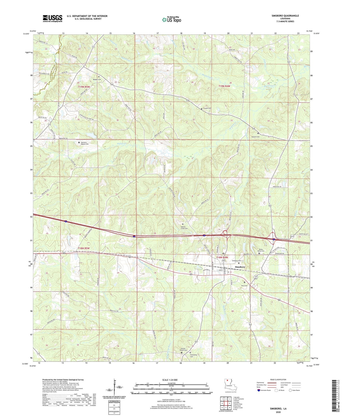
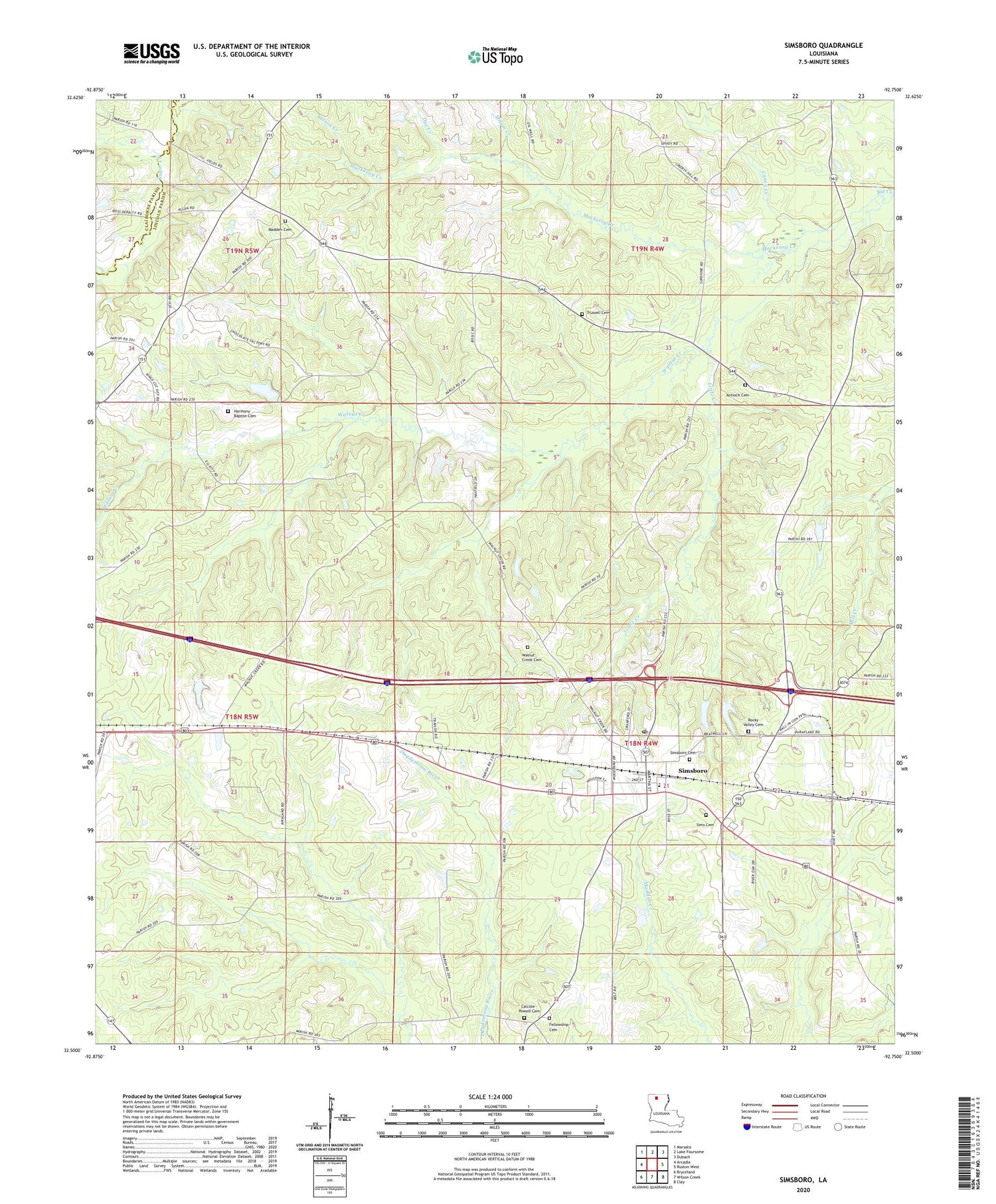
2020 topographic map quadrangle Simsboro in the state of Louisiana. Scale: 1:24000. Based on the newly updated USGS 7.5' US Topo map series, this map is in the following counties: Lincoln, Claiborne. The map contains contour data, water features, and other items you are used to seeing on USGS maps, but also has updated roads and other features. This is the next generation of topographic maps. Printed on high-quality waterproof paper with UV fade-resistant inks.
Quads adjacent to this one:
West: Arcadia
Northwest: Marsalis
North: Lake Foursome
Northeast: Dubach
East: Ruston West
Southeast: Clay
South: Wilson Creek
Southwest: Bryceland
Contains the following named places: Antioch Cemetery, Calcote - Powell Cemetery, Caney Creek, Centre Point Church, Dye Creek, Fellowship Baptist Church, Little Creek, Mackeroy Creek, Midway Church, Milam Creek, Parish Governing Authority District 3, Simsboro, Simsboro Baptist Church, Simsboro Post Office, Simsboro School, Simsboro United Methodist Church, Sunshine School, Sutton Creek, Terryville School, Village of Simsboro, Walnut Creek, Walnut Creek Church, Ward Three, West Simsboro Gas Field, Williams School, ZIP Code: 71275