MyTopo
Lake Foursome Louisiana US Topo Map
Couldn't load pickup availability
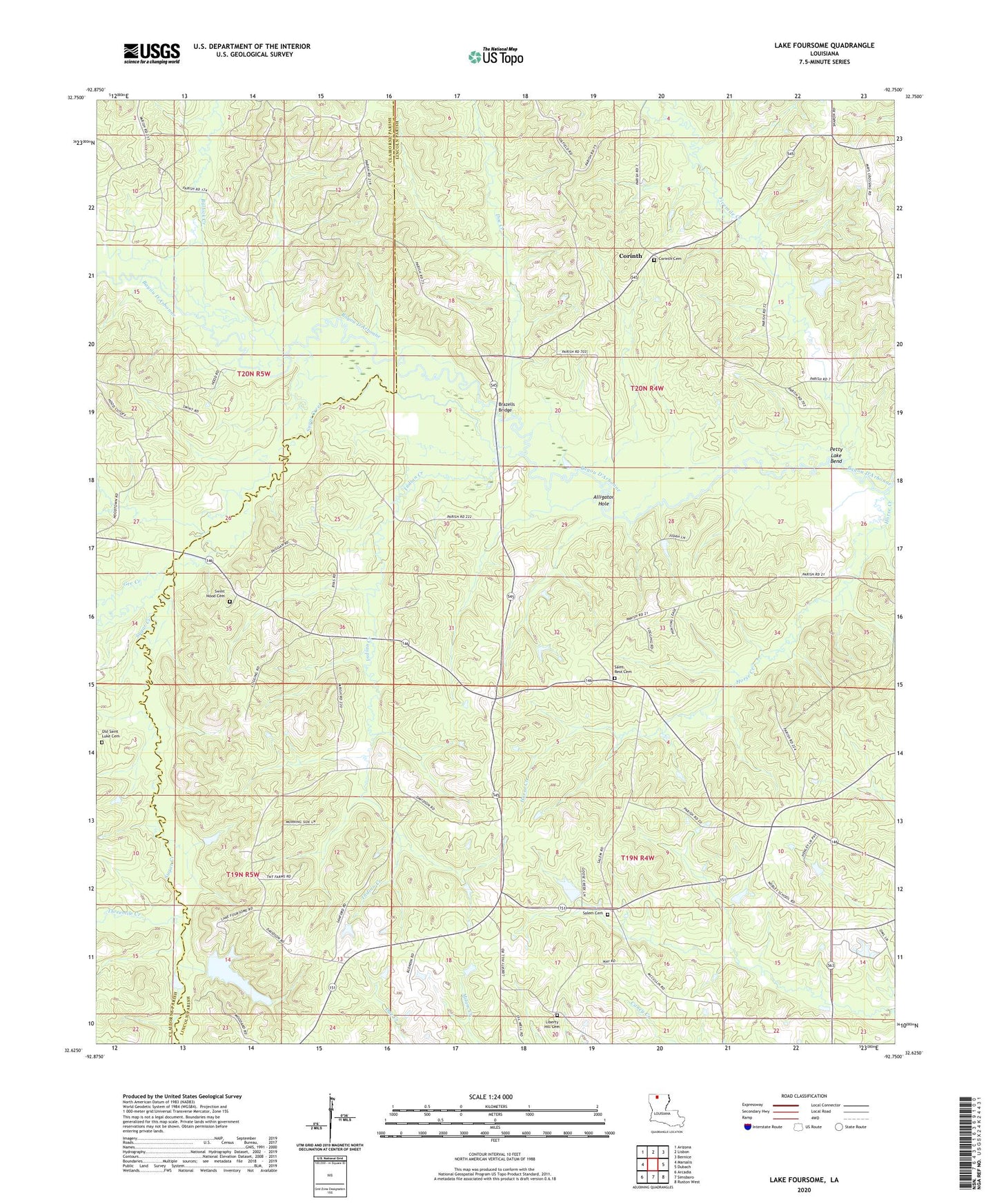
2024 topographic map quadrangle Lake Foursome in the state of Louisiana. Scale: 1:24000. Based on the newly updated USGS 7.5' US Topo map series, this map is in the following counties: Lincoln, Claiborne. The map contains contour data, water features, and other items you are used to seeing on USGS maps, but also has updated roads and other features. This is the next generation of topographic maps. Printed on high-quality waterproof paper with UV fade-resistant inks.
Quads adjacent to this one:
West: Marsalis
Northwest: Arizona
North: Lisbon
Northeast: Bernice
East: Dubach
Southeast: Ruston West
South: Simsboro
Southwest: Arcadia
This map covers the same area as the classic USGS quad with code o32092f7.
Contains the following named places: Alligator Hole, Bennett Grove School, Blooming Hill School, Brazells Bridge, Bullock Creek, Corinth, Corinth Baptist Church, Crossroads, Doc Creek, Feasterville, Fivemile Creek, Gee Creek, Horse Creek, Indian Creek, Knowles, Lake Foursome, Liberty Hill, Liberty Hill Missionary Baptist Church, Liberty Hill School, Lloyd School, Louisville School, Noble School, Petty Lake Bend, Roger School, Saint Rest Baptist Church, Salem United Methodist Church, Sugar Creek, Terryville Gas Field, Threemile Creek