MyTopo
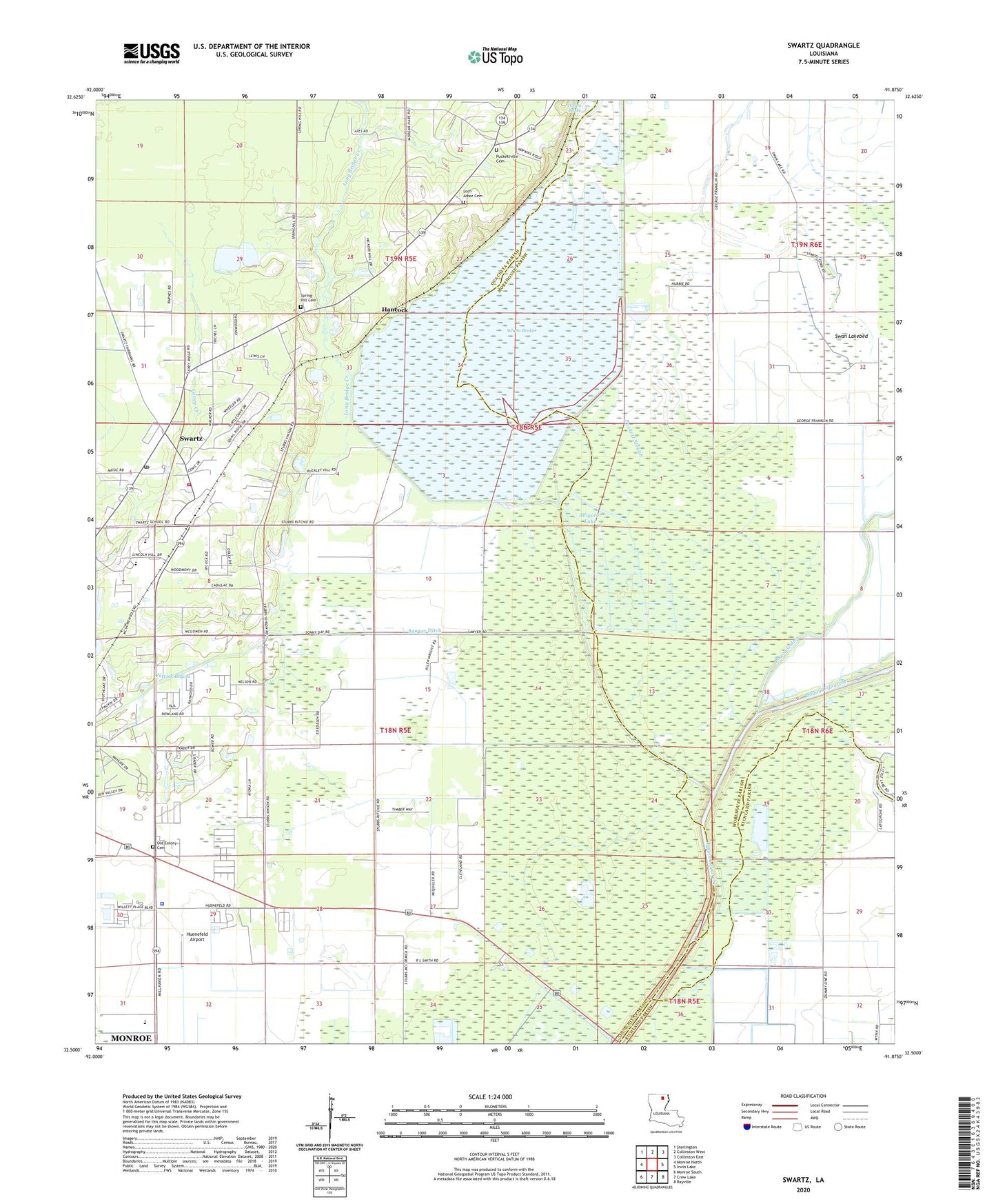
Swartz Louisiana US Topo Map
Couldn't load pickup availability
2024 topographic map quadrangle Swartz in the state of Louisiana. Scale: 1:24000. Based on the newly updated USGS 7.5' US Topo map series, this map is in the following counties: Ouachita, Morehouse, Richland. The map contains contour data, water features, and other items you are used to seeing on USGS maps, but also has updated roads and other features. This is the next generation of topographic maps. Printed on high-quality waterproof paper with UV fade-resistant inks.
Quads adjacent to this one:
West: Monroe North
Northwest: Sterlington
North: Collinston West
Northeast: Collinston East
East: Irwin Lake
Southeast: Rayville
South: Crew Lake
Southwest: Monroe South
This map covers the same area as the classic USGS quad with code o32091e8.
Contains the following named places: Alligator Lake, Audubon Park, Bayou Galion, Bethel Church, County Acres, Crew Lake Gas Field, Eastwood Estates, Fleetwood Park, Hancock, Hidden Oaks, Huenefeld Airport, King Solomon Church, Lakewood Estates, Little Bayou Boeuf, Loch Arbor Baptist Church, Long Bridge Creek, Louisiana State Police Troop F, Love Estates, Love Road Church, Milhaven Estates, North Crew Lake Gas Field, Ouachita Parish Fire Protection District 1 Station 5 Swartz, Ouachita Parish High School, Parish Governing Authority District E, Patrick Bayou, Puckett Slough, Puckettville, Quail Creek Estates, Russell Sage State Wildlife Management Area, Salem Church Number 3, Sawyer Ditch, Spicewood Pond, Spring Hill Cemetery, Swan Lake, Swan Lake Landing Strip, Swan Lakebed, Swartz, Swartz Annex School, Swartz Census Designated Place, Swartz First Baptist Church, Swartz Lower Elementary School, Swartz Upper Elementary School, Town East, Ward Two, Wham Brake


