MyTopo
Rayville Louisiana US Topo Map
Couldn't load pickup availability
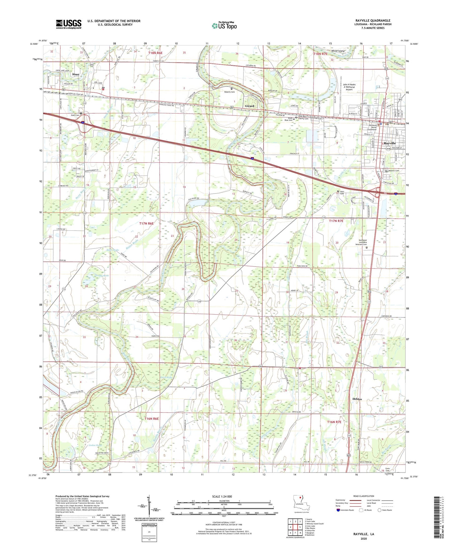
2024 topographic map quadrangle Rayville in the state of Louisiana. Scale: 1:24000. Based on the newly updated USGS 7.5' US Topo map series, this map is in the following counties: Richland. The map contains contour data, water features, and other items you are used to seeing on USGS maps, but also has updated roads and other features. This is the next generation of topographic maps. Printed on high-quality waterproof paper with UV fade-resistant inks.
Quads adjacent to this one:
West: Crew Lake
Northwest: Swartz
North: Irwin Lake
Northeast: Whitney Island South
East: Bee Bayou
Southeast: Baskinton
South: Mangham
Southwest: Gilleyville
This map covers the same area as the classic USGS quad with code o32091d7.
Contains the following named places: Antioch Church, Archibald Alto Fire Station 1, Binion Brake, Blakeman Park, Boeuf River Dam Mile 111, Church of God, Crew Lake, Cutoff Bayou, Dehlco, Dehlco Gas Field, Ethridge Brake, Galilee Church, Girard, Girard Gas Field, Girard Post Office, Holly Ridge Church, Horn Cemetery, John H Hooks Jr Memorial Airport, Jones Chapel, Jones School, KXLA-AM (Rayville), Lindow Brake, Love and Charity Cemetery, Masonic Cemetery, Mount Olive Church, New Bethel Church, Northeast Louisiana Veterans Cemetery, Orange Hill Church, Pardue School, Parish Governing Authority District 6, Parish Governing Authority District 8, Pleasant Grove Church, Poplar Chapel African Methodist Episcopal Church, Producers Spur, Purvis Brake, Rayville, Rayville City Police Department, Rayville Elementary School, Rayville Fire Department, Richland Parish, Richland Parish Sheriff's Office, Roberts Cemetery, Royal Blue Cemetery, Saint Deed Church, Saint Mary Church, Saint Paul Church, Southgate Plaza Shopping Center, Start, Start - Girard Fire Protection District, Start Cemetery, Start Census Designated Place, Start Elementary School, Start Post Office, Sunshine Church, Town of Rayville, Ward Three, ZIP Codes: 71269, 71279


