MyTopo
Black Nubble Maine US Topo Map
Couldn't load pickup availability
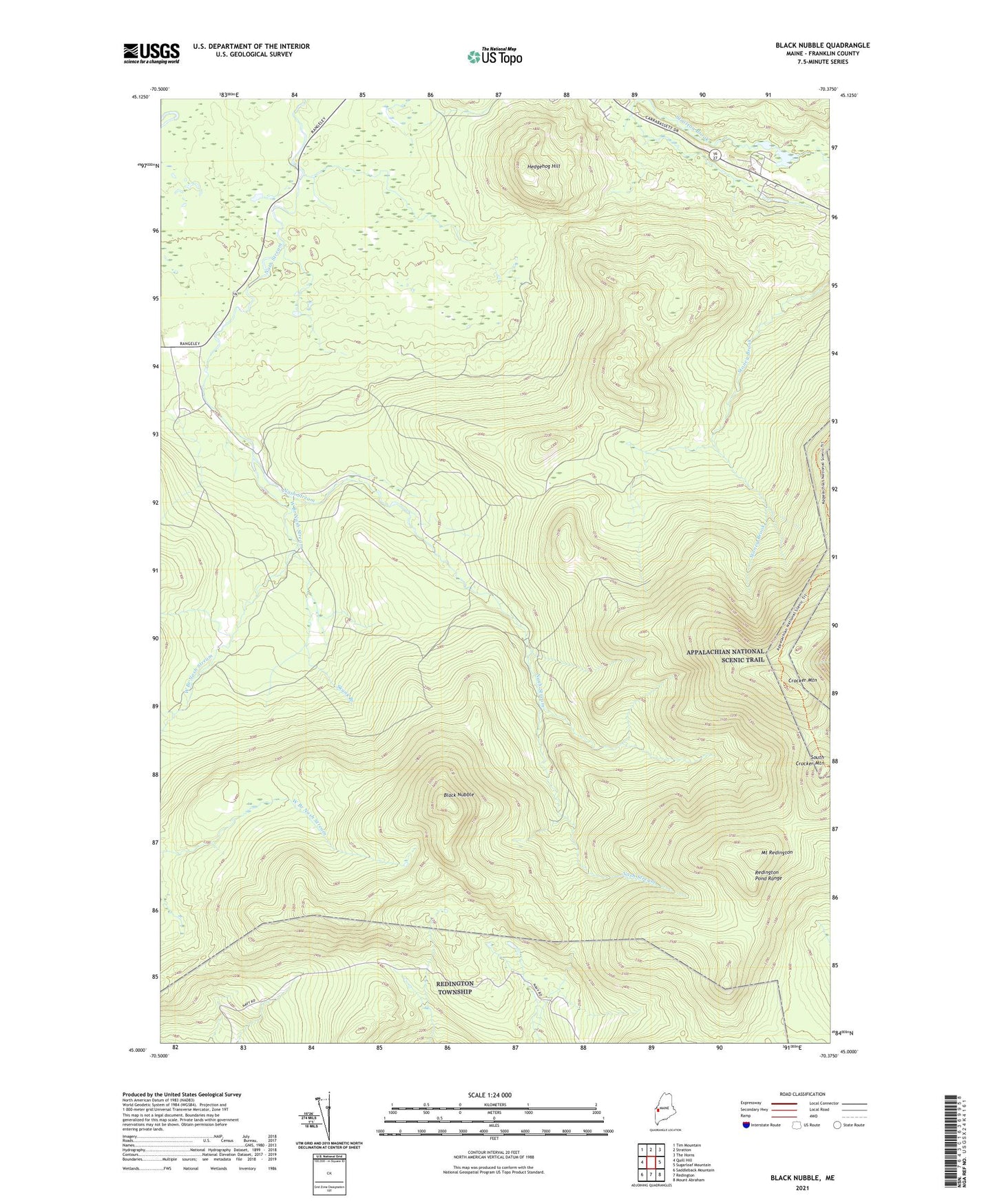
2021 topographic map quadrangle Black Nubble in the state of Maine. Scale: 1:24000. Based on the newly updated USGS 7.5' US Topo map series, this map is in the following counties: Franklin. The map contains contour data, water features, and other items you are used to seeing on USGS maps, but also has updated roads and other features. This is the next generation of topographic maps. Printed on high-quality waterproof paper with UV fade-resistant inks.
Quads adjacent to this one:
West: Quill Hill
Northwest: Tim Mountain
North: Stratton
Northeast: The Horns
East: Sugarloaf Mountain
Southeast: Mount Abraham
South: Redington
Southwest: Saddleback Mountain
Contains the following named places: Black Nubble, Coplin School, Crocker Mountain, Hedgehog Hill, Mount Redington, Plantation of Coplin, Redington Pond Range, Redington Township, Skunk Branch, South Crocker Mountain, West Branch Nash Stream, ZIP Code: 04982