MyTopo
Cunliffe Islands Maine US Topo Map
Couldn't load pickup availability
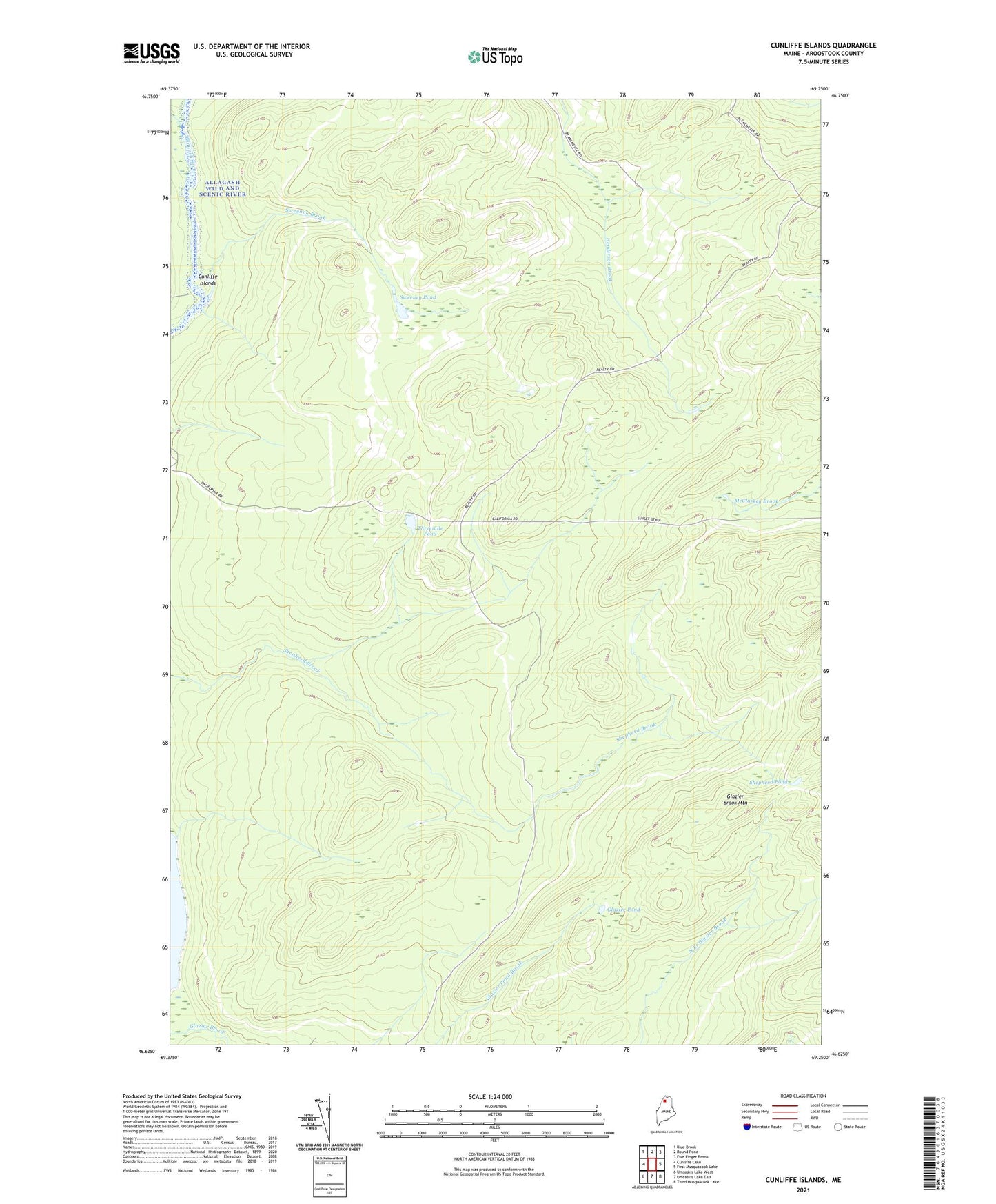
2021 topographic map quadrangle Cunliffe Islands in the state of Maine. Scale: 1:24000. Based on the newly updated USGS 7.5' US Topo map series, this map is in the following counties: Aroostook. The map contains contour data, water features, and other items you are used to seeing on USGS maps, but also has updated roads and other features. This is the next generation of topographic maps. Printed on high-quality waterproof paper with UV fade-resistant inks.
Quads adjacent to this one:
West: Cunliffe Lake
Northwest: Blue Brook
North: Round Pond
Northeast: Five Finger Brook
East: First Musquacook Lake
Southeast: Third Musquacook Lake
South: Umsaskis Lake East
Southwest: Umsaskis Lake West
Contains the following named places: Cunliffe Islands, Glazier Brook Mountain, Glazier Pond, Harding Brook, Shepherd Pond, Sweeney Brook, Sweeney Pond, T12 R12 WELS, Threemile Pond, Whitaker Brook