MyTopo
Umsaskis Lake West Maine US Topo Map
Couldn't load pickup availability
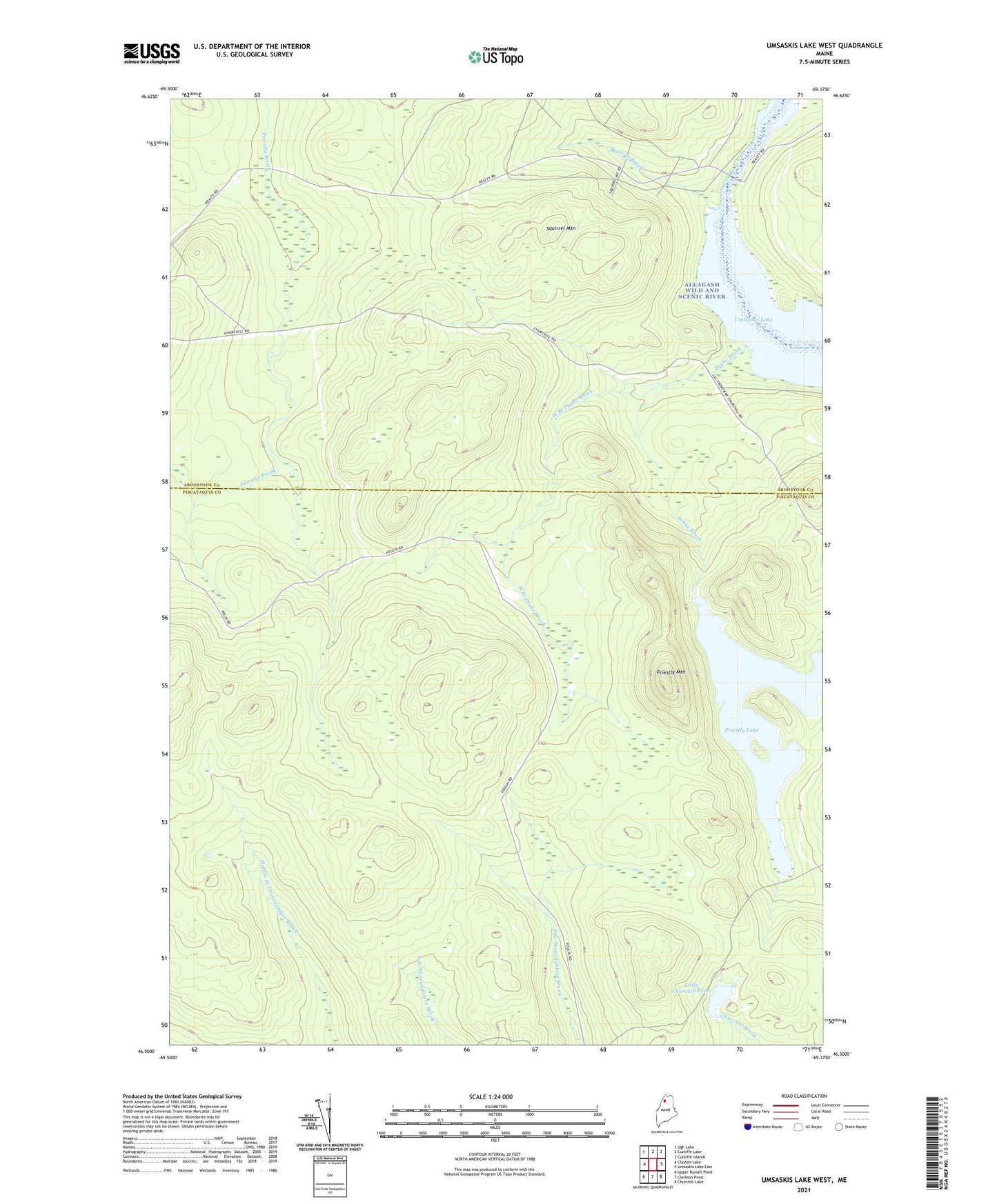
2024 topographic map quadrangle Umsaskis Lake West in the state of Maine. Scale: 1:24000. Based on the newly updated USGS 7.5' US Topo map series, this map is in the following counties: Piscataquis, Aroostook. The map contains contour data, water features, and other items you are used to seeing on USGS maps, but also has updated roads and other features. This is the next generation of topographic maps. Printed on high-quality waterproof paper with UV fade-resistant inks.
Quads adjacent to this one:
West: Clayton Lake
Northwest: Ugh Lake
North: Cunliffe Lake
Northeast: Cunliffe Islands
East: Umsaskis Lake East
Southeast: Churchill Lake
South: Clarkson Pond
Southwest: Upper Russell Pond
Contains the following named places: Drake Brook, Fire Warden Camp, Kellys Camp, Little Churchill Pond, Priestly Lake, Priestly Mountain, Squirrel Brook, Squirrel Mountain, T10 R13 WELS, T11 R13 WELS, The Thoroughfare, Vellieur Pond, West Branch Drake Brook