MyTopo
Frost Pond Maine US Topo Map
Couldn't load pickup availability
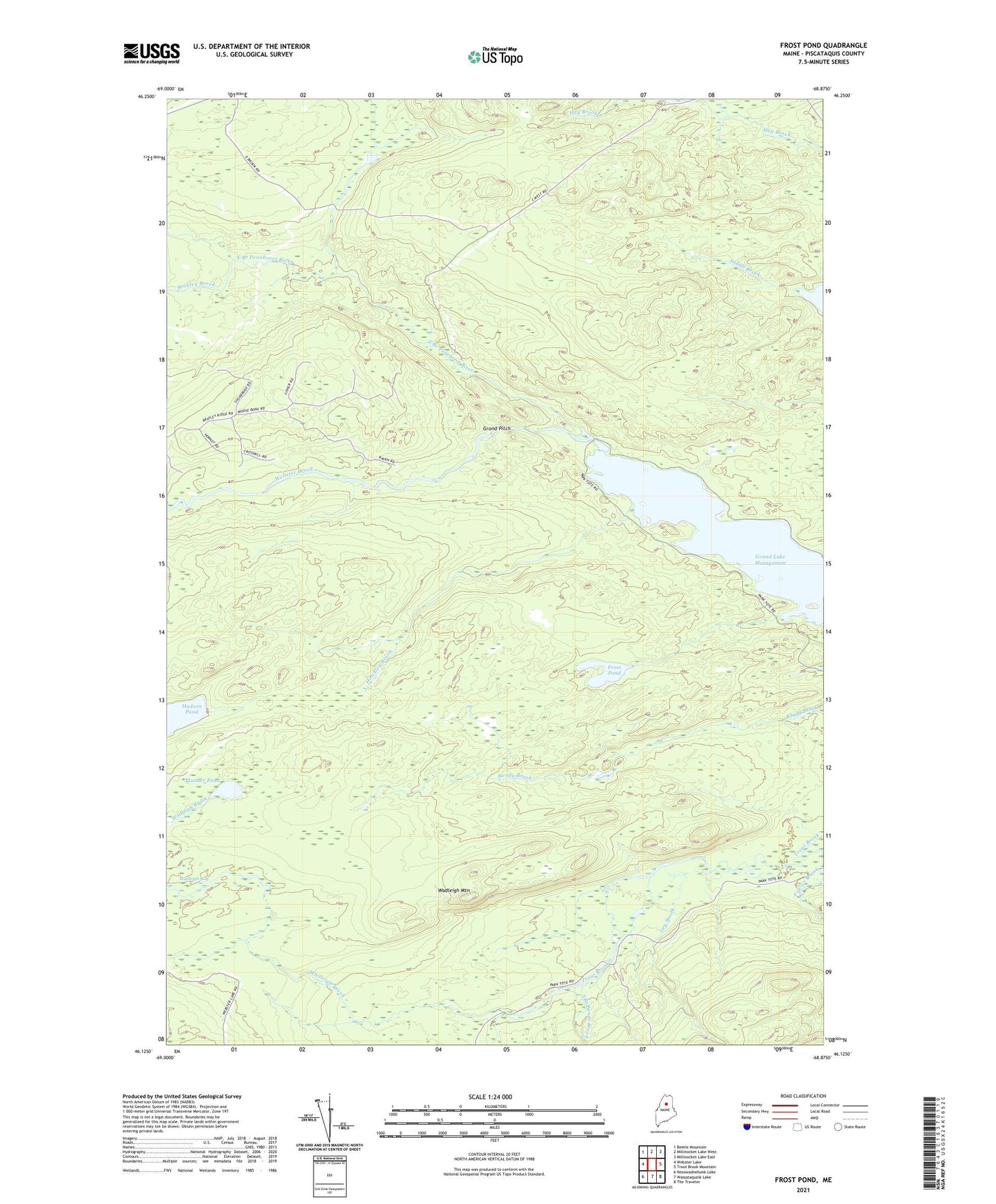
2021 topographic map quadrangle Frost Pond in the state of Maine. Scale: 1:24000. Based on the newly updated USGS 7.5' US Topo map series, this map is in the following counties: Piscataquis. The map contains contour data, water features, and other items you are used to seeing on USGS maps, but also has updated roads and other features. This is the next generation of topographic maps. Printed on high-quality waterproof paper with UV fade-resistant inks.
Quads adjacent to this one:
West: Webster Lake
Northwest: Beetle Mountain
North: Millinocket Lake West
Northeast: Millinocket Lake East
East: Trout Brook Mountain
Southeast: The Traveler
South: Wassataquoik Lake
Southwest: Nesowadnehunk Lake
Contains the following named places: Blunder Pond, Brayley Brook, Dry Brook, Eagle Lake Tote Road, Fowler Brook, Fowler Green, Freezeout Road, Frost Pond, Grand Pitch, Hinckley Brook, Indian Carry, Saddle Brook, South Branch Ponds Brook, The Crossing, Trout Brook Township, Wadleigh Brook, Wadleigh Mountain, Webster Brook