MyTopo
Little Kennebago Lake Maine US Topo Map
Couldn't load pickup availability
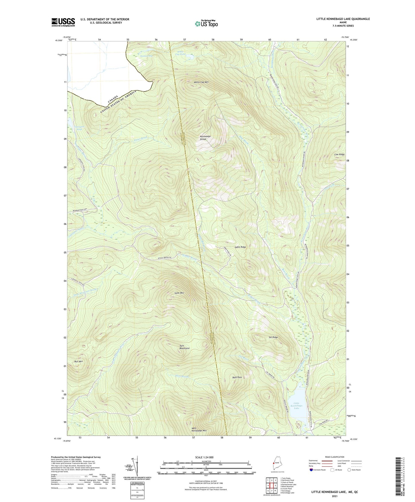
2024 topographic map quadrangle Little Kennebago Lake in the state of Maine. Scale: 1:24000. Based on the newly updated USGS 7.5' US Topo map series, this map is in the following counties: Franklin, Oxford. The map contains contour data, water features, and other items you are used to seeing on USGS maps, but also has updated roads and other features. This is the next generation of topographic maps. Printed on high-quality waterproof paper with UV fade-resistant inks.
Quads adjacent to this one:
West: Parmachenee Lake
Northwest: Twin Peaks
North: Northwest Pond
Northeast: Chain of Ponds
East: Black Mountain
Southeast: Kennebago Lake
South: Kennebago
Southwest: Lincoln Pond
This map covers the same area as the classic USGS quad with code o45070b7.
Contains the following named places: Bald Pate, Bear Brook, Brown Dam Camp, Bull Mountain, Camp Number 12, Cow Ridge, Crowley Branch, Cupsuptic Pond, Dennison Bog, East Branch Camp, Kennebago Divide, Little Kennebago Lake, Number Four Camp, Otter Brook, Otter Camp, Porter Brook, Sable Mill Brook, Sable Ridge, Seven Ponds Township, Snow Mountain, Sol Brook, Sol Ridge, Twin Mountains, Upper Cupsuptic Township, White Cap Mountain, White Cap Pond, Wiggle Brook