MyTopo
Matinicus Maine US Topo Map
Couldn't load pickup availability
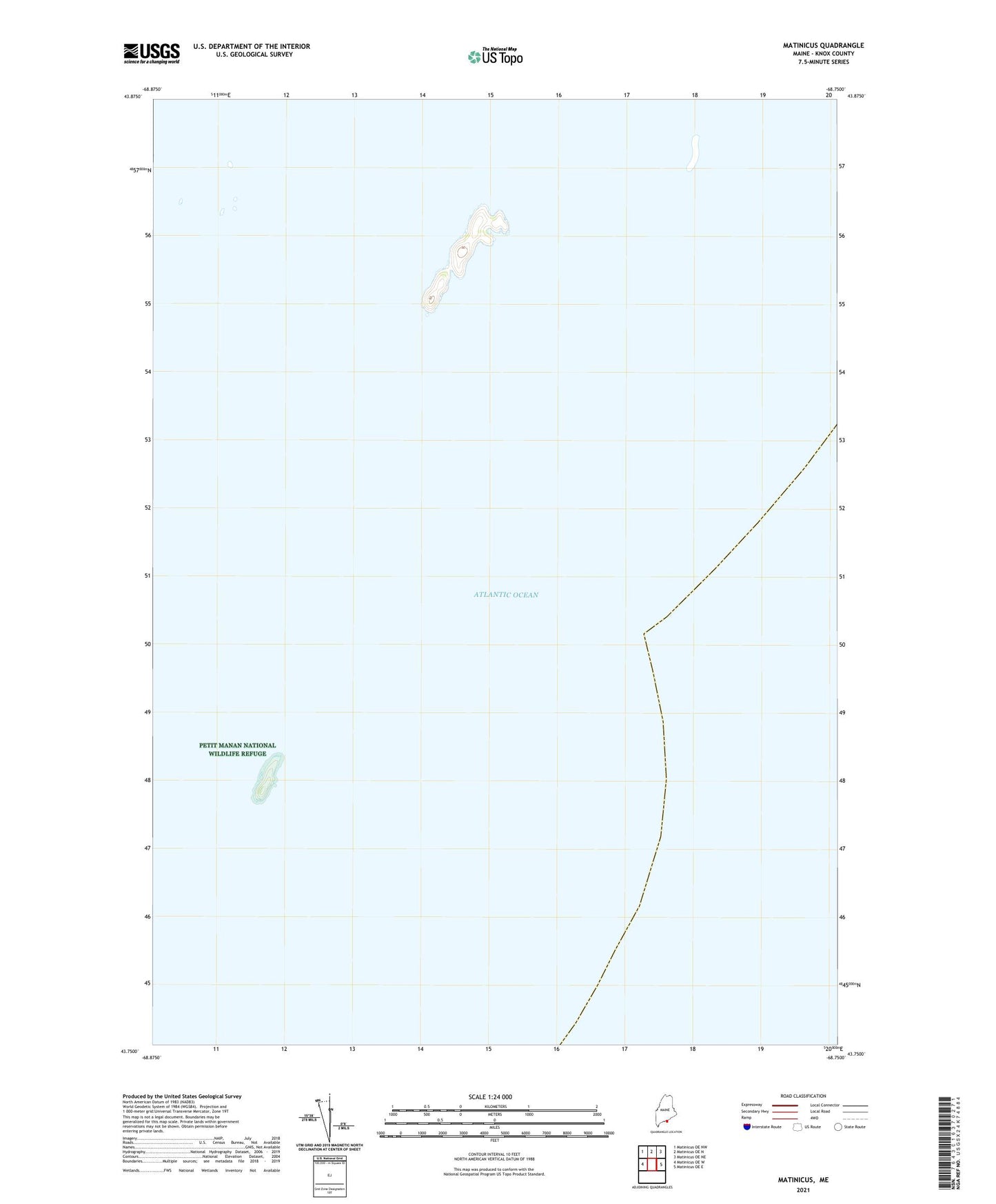
2024 topographic map quadrangle Matinicus in the state of Maine. Scale: 1:24000. Based on the newly updated USGS 7.5' US Topo map series, this map is in the following counties: Knox. The map contains contour data, water features, and other items you are used to seeing on USGS maps, but also has updated roads and other features. This is the next generation of topographic maps. Printed on high-quality waterproof paper with UV fade-resistant inks.
Quads adjacent to this one:
West: Matinicus OE W
Northwest: Matinicus OE NW
North: Matinicus OE N
Northeast: Matinicus OE NE
East: Matinicus OE E
This map covers the same area as the classic USGS quad with code o43068g6.
Contains the following named places: Back Cove, East Black Ledge, Frenchman Cove, Frenchman Ledge, Greens Ledge, Mackerel Ledge, Malcolm Ledge, Matinicus Rock, Matinicus Rock Light Station, Medrick Beach, Northeast Cove, Northwest Point, Petit Manon Refuge, Stephens Head, Tuckanuck Ledge, West Black Ledge, Western Ledge, Wood Cove, Wooden Ball Island