MyTopo
Matinicus OE N Maine US Topo Map
Couldn't load pickup availability
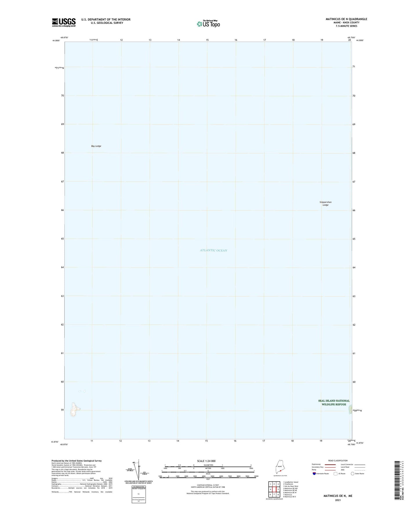
2024 topographic map quadrangle Matinicus OE N in the state of Maine. Scale: 1:24000. Based on the newly updated USGS 7.5' US Topo map series, this map is in the following counties: Knox. The map contains contour data, water features, and other items you are used to seeing on USGS maps, but also has updated roads and other features. This is the next generation of topographic maps. Printed on high-quality waterproof paper with UV fade-resistant inks.
Quads adjacent to this one:
West: Matinicus OE NW
Northwest: Leadbetter Island
North: Vinalhaven
Northeast: Isle Au Haut West
East: Matinicus OE NE
Southeast: Matinicus OE E
South: Matinicus
Southwest: Matinicus OE W
Contains the following named places: Bay Ledge, Gully Ledge, No Mans Land, Snippershan Ledge, Western Head, Zephyr Ledges, Zephyr Rock, ZIP Code: 04851