MyTopo
Merrill Mountain Maine US Topo Map
Couldn't load pickup availability
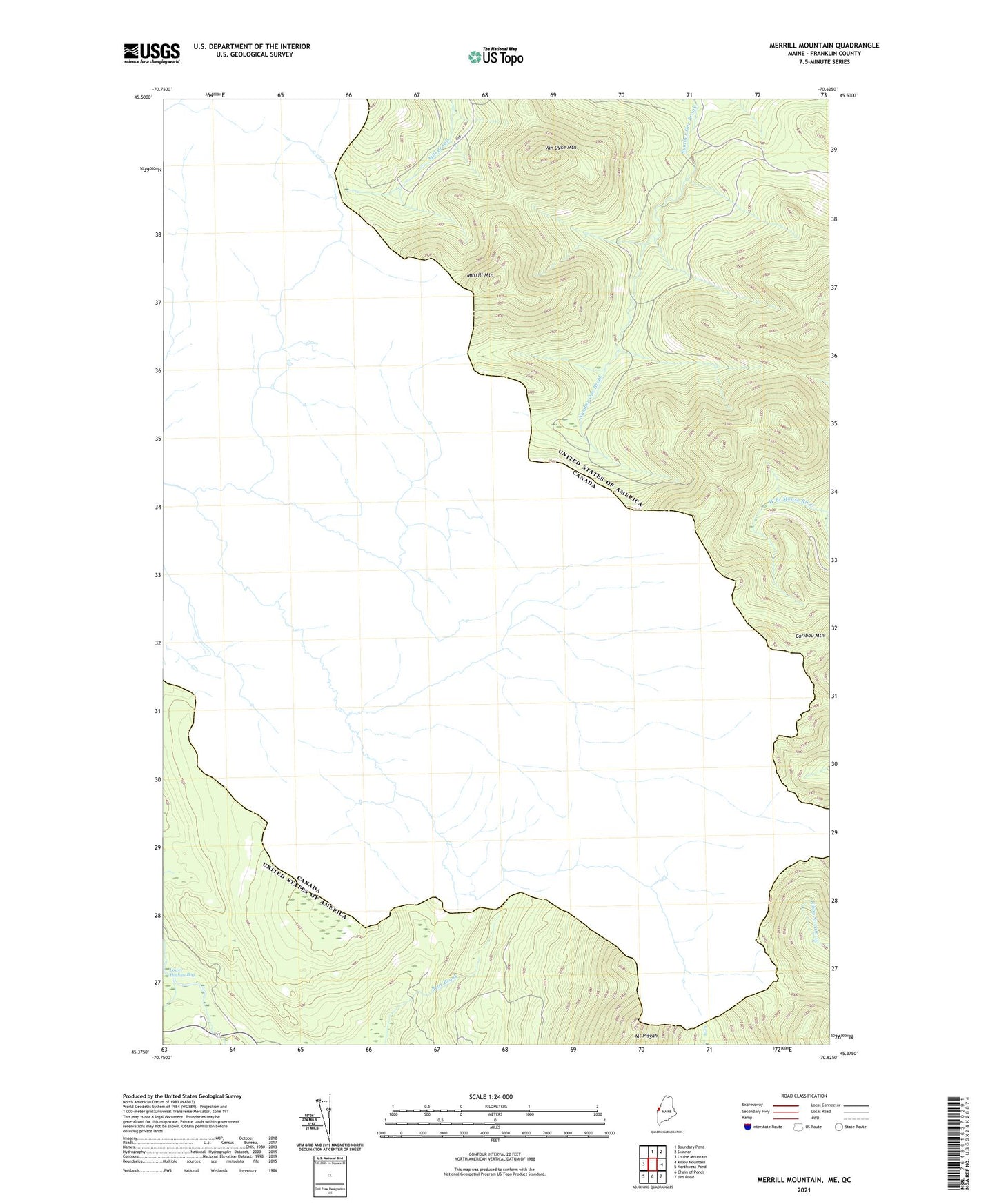
2024 topographic map quadrangle Merrill Mountain in the state of Maine. Scale: 1:24000. Based on the newly updated USGS 7.5' US Topo map series, this map is in the following counties: Franklin. The map contains contour data, water features, and other items you are used to seeing on USGS maps, but also has updated roads and other features. This is the next generation of topographic maps. Printed on high-quality waterproof paper with UV fade-resistant inks.
Quads adjacent to this one:
West: Louise Mountain
North: Boundary Pond
Northeast: Skinner
East: Kibby Mountain
Southeast: Jim Pond
South: Chain of Ponds
Southwest: Northwest Pond
This map covers the same area as the classic USGS quad with code o45070d6.
Contains the following named places: Merrill Mountain, Merrill Strip Township, Moose Mill Camp, Van Dyke Mountain