MyTopo
Monhegan Maine US Topo Map
Couldn't load pickup availability
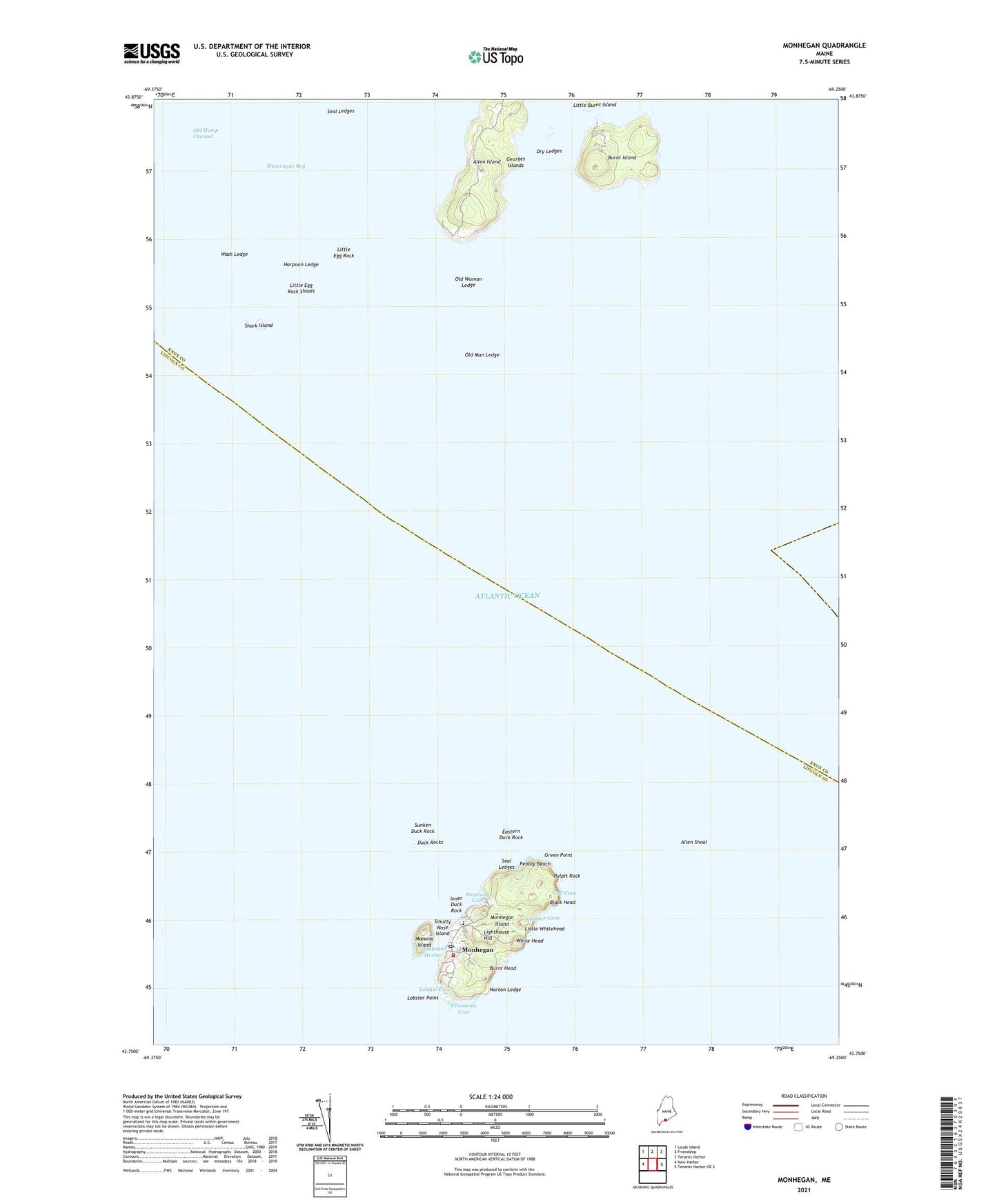
2024 topographic map quadrangle Monhegan in the state of Maine. Scale: 1:24000. Based on the newly updated USGS 7.5' US Topo map series, this map is in the following counties: Knox, Lincoln. The map contains contour data, water features, and other items you are used to seeing on USGS maps, but also has updated roads and other features. This is the next generation of topographic maps. Printed on high-quality waterproof paper with UV fade-resistant inks.
Quads adjacent to this one:
West: New Harbor
Northwest: Louds Island
North: Friendship
Northeast: Tenants Harbor
East: Tenants Harbor OE S
This map covers the same area as the classic USGS quad with code o43069g3.
Contains the following named places: Allen Island, Allen Shoal, Black Head, Burnt Head, Burnt Island, Calf Cove, Christmas Cove, Deadman Cove, Dry Ledges, Duck Rocks, Eastern Duck Rock, Georges Islands, Green Point, Gull Rock Ledge, Harpoon Ledge, Inner Duck Rock, Lighthouse Hill, Little Burnt Island, Little Egg Rock, Little Egg Rock Shoals, Little Whitehead, Lobster Cove, Lobster Point, Manana Island, Manana Island Fog Station, Midway Rocks, Monhegan, Monhegan Fire Department Station 1, Monhegan Harbor, Monhegan Island, Monhegan Island Light, Monhegan Island School, Monhegan Memorial Library, Monhegan Museum, Norton Ledge, Old Man Ledge, Old Woman Ledge, Pebbly Beach, Plantation of Monhegan, Pulpit Rock, Seal Ledges, Shark Island, Smutty Nose Island, Squeaker Cove, Sunken Duck Rock, Wash Ledge, White Head, ZIP Code: 04852


