MyTopo
Mount Zircon Maine US Topo Map
Couldn't load pickup availability
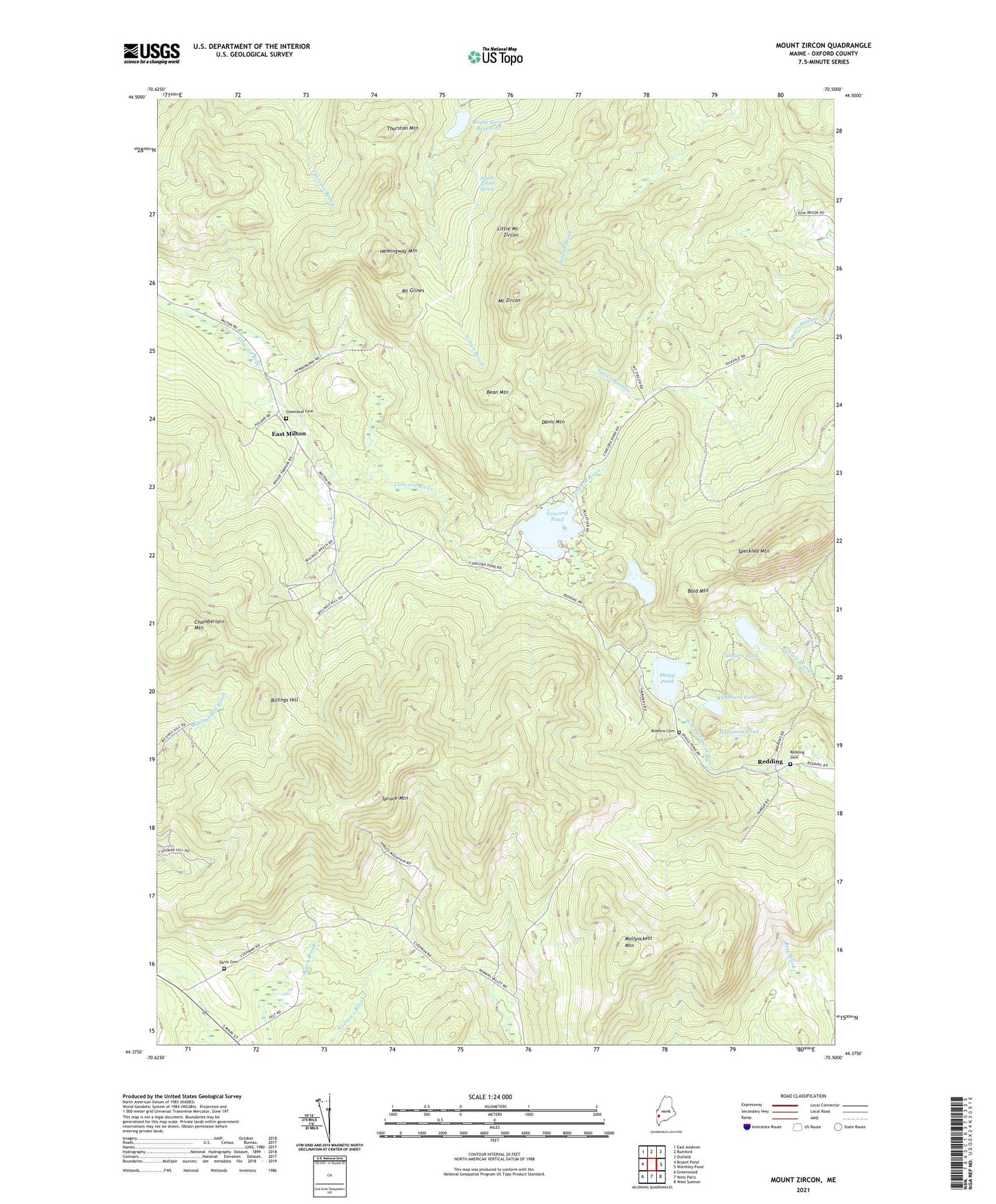
2024 topographic map quadrangle Mount Zircon in the state of Maine. Scale: 1:24000. Based on the newly updated USGS 7.5' US Topo map series, this map is in the following counties: Oxford. The map contains contour data, water features, and other items you are used to seeing on USGS maps, but also has updated roads and other features. This is the next generation of topographic maps. Printed on high-quality waterproof paper with UV fade-resistant inks.
Quads adjacent to this one:
West: Bryant Pond
Northwest: East Andover
North: Rumford
Northeast: Dixfield
East: Worthley Pond
Southeast: West Sumner
South: West Paris
Southwest: Greenwood
This map covers the same area as the classic USGS quad with code o44070d5.
Contains the following named places: Abbotts Pond, Bald Mountain, Bean Mountain, Billings Hill, Chamberlain Mountain, Concord Pond, Davis Cemetery, Davis Mountain, East Milton, Greenleaf Cemetery, Halfmoon Pond, Hemingway Mountain, Little Concord Pond, Little Mount Zircon, Mollyockett Mountain, Mount Glines, Mount Zircon, Mount Zircon Reservoir, Mount Zircon Reservoir Dam, Mount Zircon Spring, Redding, Redding Cemetery, Robbins Cemetery, Shagg Pond, Speckled Mountain, Spruce Mountain, Thurston Mountain, Town of Woodstock, Township of Milton, Unorganized Territory of Milton, Washburn Pond, ZIP Code: 04219