MyTopo
North Haven East Maine US Topo Map
Couldn't load pickup availability
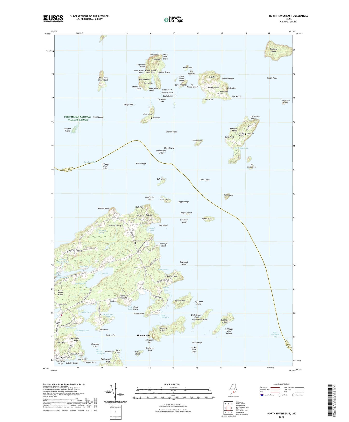
2024 topographic map quadrangle North Haven East in the state of Maine. Scale: 1:24000. Based on the newly updated USGS 7.5' US Topo map series, this map is in the following counties: Knox, Hancock. The map contains contour data, water features, and other items you are used to seeing on USGS maps, but also has updated roads and other features. This is the next generation of topographic maps. Printed on high-quality waterproof paper with UV fade-resistant inks.
Quads adjacent to this one:
West: North Haven West
Northwest: Islesboro
North: Cape Rosier
Northeast: Sargentville
East: Deer Isle
Southeast: Isle Au Haut West
South: Vinalhaven
Southwest: Leadbetter Island
This map covers the same area as the classic USGS quad with code o44068b7.
Contains the following named places: Apple Tree Hill, Armstrong Cove, Babbidge Island, Babbidge Island Ledges, Bald Island, Banks Cove, Barred Islands, Bear Island, Bear Island Beach, Beverage Island, Big Barred Island, Big Green Island, Big Mountain, Birch Island, Birch Point, Black Ledge, Boy Scout Island, Bradbury Island, Bradstreet Rock, Brook Beach, Browns Cemetery, Burnt Island, Butter Island, Calderwood Island, Calderwood Point, Channel Rock, Charley Browns Pond, Compass Island, Compass Island Ledge, Cubby Hole, Dagger Island, Dagger Ledge, Dobbin Rock, Double Beach, Downfall Island, Driftwood Beach, Eagle Island, Eagle Island Light, Eaton Cemetery, Fish Point, Fish Point Ledge, Fling Island, Fox Islands Thorofare, Fresh Pond, Frye Cemetery, Goose Rocks, Goose Rocks Lighthouse, Grass Ledge, Great Spruce Head Island, Harbor Beach, Hardhead Island, Hog Island, Horsehead Island, Indian Point, Iron Point, J O Browns Ferry Dock, Kent Cemetery, Kent Cove, Kent Ledge, Lighthouse Beach, Little Barred Island, Little Green Island, Little Mountain, Little Spruce Head Island, Little Thorofare, Lobster Ledge, Long Point, Marsh Cove, Middle Rock, Mill Stream, Mount Nebo, Mullen Cove, Mullen Head, Mullen Head Park, North Haven, North Haven Emergency Medical Services, North Haven Ferry, North Haven Island, North Haven Post Office, North Haven Public Library, North Haven Volunteer Fire Department, North Haven Yacht Club, North Point, North Point Beach, Oak Hill, Oak Island, Old Brown Cemetery, Orchard Beach, Peak Island, Pease Island, Pond Hole Ledges, Pond Swamp, Post Office Ledge, Purgatory Swamp, Quinn Cemetery, Salt Point, Salt Pond, Scrag Island, Seaview Cemetery, Sheep Island, Sloop Island, Sloop Island Ledge, South Point, Spoon Ledge, Steep Bank Beach, Stimpsons Island, Stimpsons Rock, Sunken Black Ledge, The Brook Beach, The Chain Links, The Head, The Nubble, The Porcupines, The Sugarloaf, The Wood Land, The Wood Landing, Three Island Beach, Walton Beach, Waterman Cove, Waterman Ledge, Watson Airport, Watson Landing Strip, Webster Head, West Point, Widow Island, Witherspoon Cemetery, ZIP Codes: 04683, 04853